FOX VALLEY, Wisconsin — A dangerous stretch of weather is moving through the area, and residents need to be ready before they step out the door.
Back-to-back First Alert Weather Days are now in effect for today and tomorrow. Severe thunderstorms capable of producing large hail, damaging winds, heavy rainfall, and isolated tornadoes are on the way.
This is not a situation to take lightly.
What Is Happening Right Now
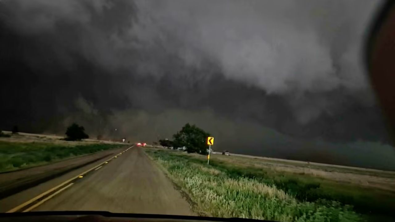
Severe thunderstorms are already developing in southern Wisconsin and pushing northward toward the Fox Valley.
As they move through, expect large hail that can damage vehicles and rooftops, damaging winds strong enough to knock down tree branches and cause property damage, heavy rainfall that could trigger localized flooding, and an isolated tornado threat.
On top of the storm threat, heat and humidity are making conditions even more dangerous. Afternoon heat index values will reach into the 90s.
Stay hydrated, limit time outdoors, and check on elderly neighbors and anyone without access to air conditioning.
Tonight and Into Thursday
Strong storms will continue into the evening as the system pushes through.
Skies will begin to clear later tonight, but conditions will remain humid and breezy.
Thursday is another First Alert Weather Day. Morning sunshine will not last long. More severe thunderstorms will develop and affect areas from Green Bay southward through the Fox Valley.
The same threats return — hail, high winds, heavy rain, and isolated tornadoes. It will stay warm and humid throughout the day.
What You Should Do Right Now
Being prepared before the storms arrive could make a real difference. Here is what to do:
- On the road this morning: Use low-beam headlights and slow down due to dense fog conditions.
- This afternoon: Know where your safe room is before storms develop — a basement or interior room away from windows is best.
- At home: Bring in any outdoor furniture, decorations, or loose items that could blow away in high winds.
- Stay informed: Monitor local radar and weather alerts closely throughout the day and evening.
- Check on neighbors: Make sure elderly residents and those without air conditioning have a safe, cool place to go.
Looking Ahead to the Weekend
Friday brings welcome relief. Mostly sunny skies return with highs in the upper 70s and dropping humidity thanks to a breezy west wind.
Saturday turns unsettled again with scattered thunderstorms, returning humidity, and highs near 80 degrees.
Sunday delivers a genuine break — cooler, breezy, and less humid with highs in the lower 70s.
Monday and Tuesday both look comfortable with partly cloudy skies and temperatures in the lower 70s, though Tuesday carries a small chance of thunderstorms.
Stay Safe Through the Storm
The next 48 hours are the most critical. Keep your phone charged, have a plan ready before the first storm develops, and do not wait until warnings are issued to take action.
Are you in the path of these storms? Have you already seen any damage in your neighborhood? Share what you are seeing in the comments below — your update could help neighbors nearby stay safe.