CHARLESTON, West Virginia — Dangerous weather is moving through West Virginia Wednesday, and forecasters are warning residents across much of the state to stay alert well into the overnight hours.
The National Weather Service in Charleston has issued a Flood Watch through 2 a.m. Thursday, May 28, covering a wide portion of the state.
That includes Charleston, Huntington, Parkersburg, Beckley, Clarksburg, and the communities surrounding them.
Why This Storm Is More Dangerous Than a Typical Rain Event
The concern is not just one heavy storm — it is multiple rounds of rain hitting back to back.
When storms repeatedly track over the same area, water has no time to drain. Creeks rise faster. Roads flood with little warning. And for communities where the ground is already saturated from recent rainfall, it takes far less rain to cause serious problems.
Forecasters say that is exactly the situation West Virginia is facing Wednesday.
What the Storms Could Bring to Your Area
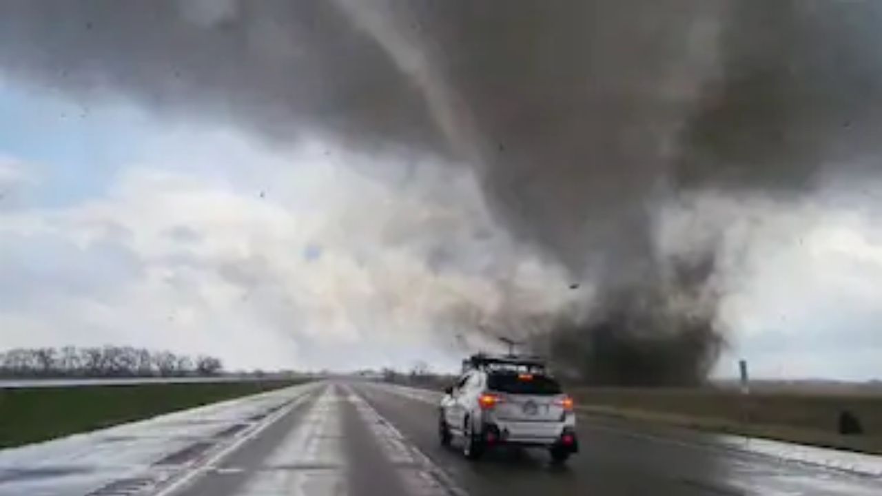
Beyond flooding, some storms later Wednesday could turn severe.
The primary hazards forecasters are watching include damaging wind gusts and torrential downpours. Isolated hail is also possible with the stronger cells.
The worst of the severe weather threat is expected during Wednesday afternoon and evening, with conditions gradually improving overnight — though the Flood Watch remains active until 2 a.m.
Roads to Watch and What Drivers Need to Know
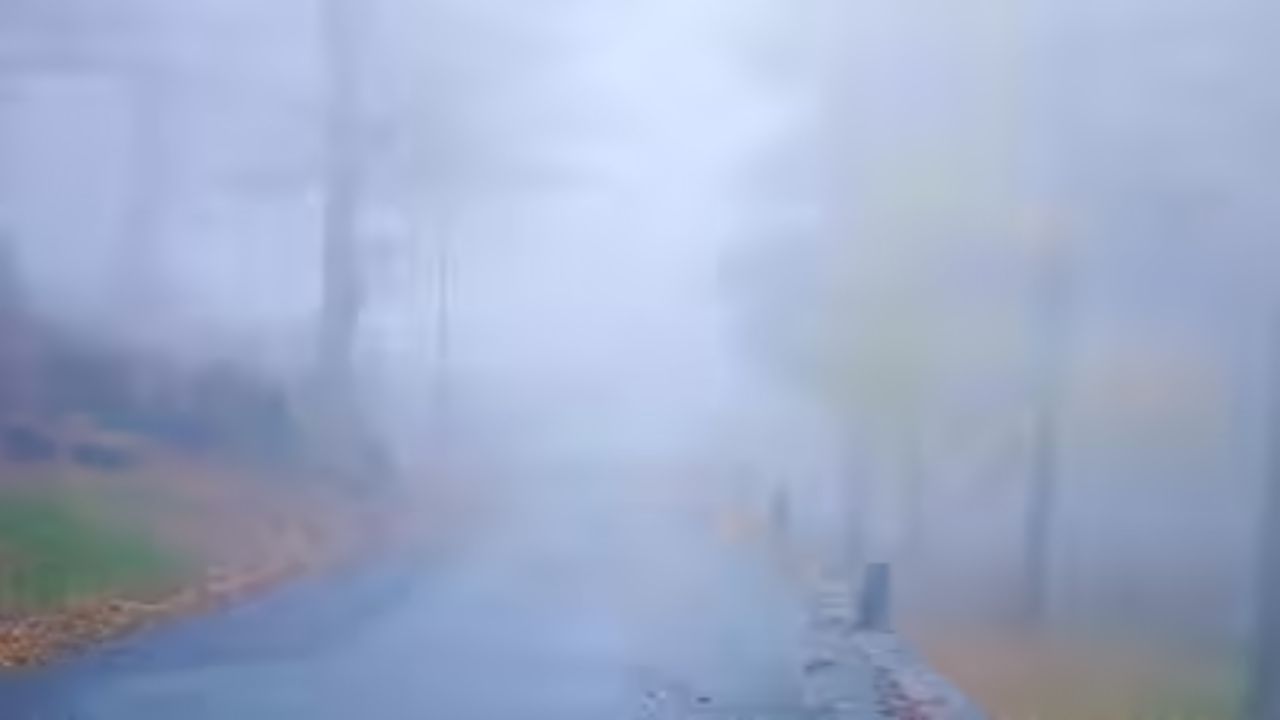
Low-lying roads and areas near smaller waterways are at the highest risk during this event.
Rapid rises on creeks and streams can make a road that looked passable just minutes earlier suddenly dangerous or impassable.
Authorities are reminding drivers of the “Turn Around, Don’t Drown” message — a rule that saves lives every storm season. No trip is worth the risk of driving into floodwater.
Even shallow moving water can sweep a vehicle off the road.
How to Stay Safe Tonight
With storms expected to continue through the evening, now is the time to prepare — not when the rain is already falling.
Make sure you have more than one way to receive weather alerts. A weather radio, phone alerts, and a local news app running in the background can make the difference.
If you live near a creek, stream, or low-lying area, keep an eye on water levels as the storms move through.
If local officials or emergency managers issue evacuation guidance for your area, take it seriously and move quickly.
Stay Connected as Conditions Change
This is a fast-moving weather situation and conditions across West Virginia could change quickly Wednesday evening.
Follow updates from the National Weather Service in Charleston and your local emergency management office as storms develop.
Are you seeing flooding or severe weather in your area tonight? Share what you are experiencing in the comments — your update could help a neighbor stay safe.