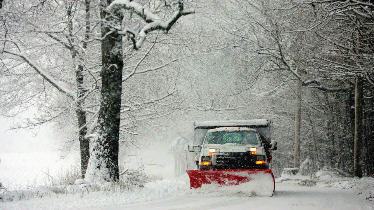
A dangerous night is ahead for drivers and residents across the Central Plains. The Storm Prediction Center has issued an Enhanced Risk (Level 3 out of 5) for central Nebraska, and a Tornado Watch is in effect through midnight CDT for much of the state.
What’s Coming?
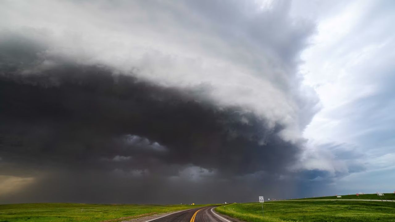
This isn’t a typical storm. Meteorologists are warning of strong tornadoes, softball-sized hail, and wind gusts up to 80 mph — all hitting at the same time, after dark, when visibility is already low.
Wind gusts of 73 mph were already confirmed near Julesburg, Colorado at 7:33 PM MDT Tuesday, and storms are still intensifying.
Which Roads Are Most Dangerous?
Three major interstate corridors are directly in the crosshairs tonight:
I-80 across central Nebraska is the most dangerous stretch — especially between Ogallala and Grand Island. This open-prairie section offers almost zero shelter from hail or high winds.
I-76 through northeast Colorado is seeing active supercell development with rotating updrafts already forming.
I-70 across Kansas faces ongoing severe storm risk extending into Wednesday.
If you are driving any of these routes tonight, consider delaying your trip.
The Hail Is Serious — Here’s Why
Softball-sized hail means stones roughly 4 inches across. This is not minor dent damage territory. Hail this size can:
- Shatter laminated windshields completely
- Punch through aluminum hoods
- Cave in fender panels on direct impact
- Trigger total-loss insurance claims on vehicles
If you are caught driving in this storm, turn your windshield away from the prevailing wind and pull off at a proper exit — never shelter under an overpass.
Peak Danger Window
8 PM CDT Tuesday through 2 AM CDT Wednesday is when conditions will be most severe. Storms are expected to intensify after dark as supercells consolidate along the I-80 corridor.
A secondary round of severe storms is expected for southeast Nebraska late Wednesday into early Thursday morning.
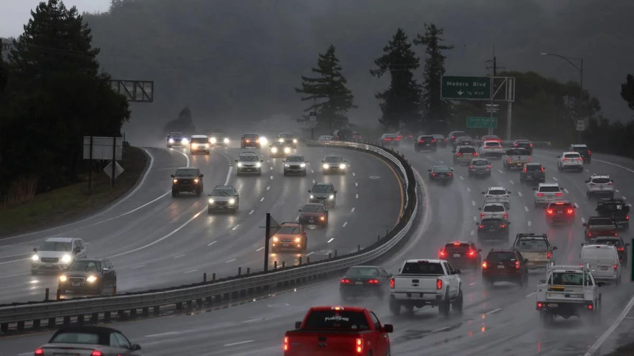
Emergency Driving Tips
- Triple your stopping distance on wet roads — reaction time drops dramatically in heavy rain
- Never drive into standing water — just one foot of moving water can float most passenger vehicles
- Pull off at exits, not shoulders — chase traffic and low visibility make roadside stops extremely dangerous
- Check Nebraska 511 or COtrip.org for real-time road closures before departing
Stay indoors if possible tonight. This storm system is moving fast and conditions can change within minutes.
This article will be updated as the storm evolves.