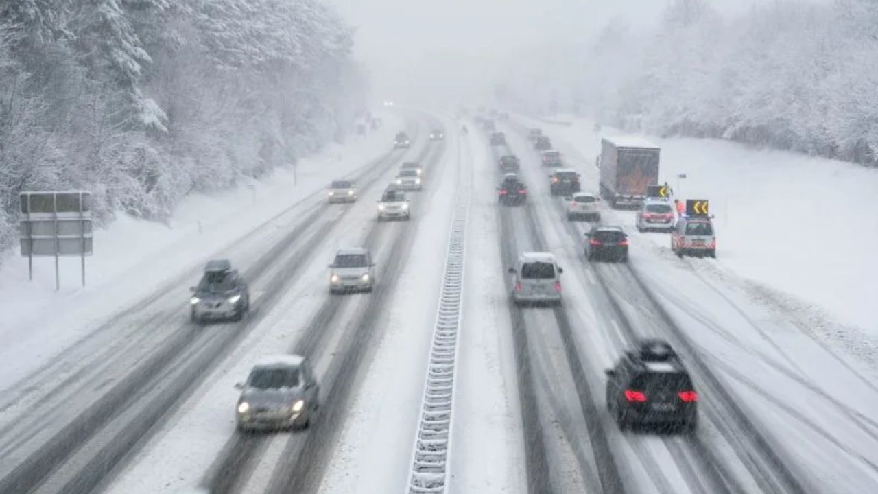
Minneapolis, Minnesota – Drivers across the Twin Cities and much of eastern Minnesota faced dangerous travel conditions early Tuesday as freezing rain, freezing fog, and near-freezing temperatures combined to create slick roads and reduced visibility. Even as precipitation begins to taper in some areas, untreated roads, bridges, sidewalks, and ramps remain icy, raising concerns for the morning commute and late-morning travel.
Freezing Rain and Fog Impact the Morning Commute
According to the National Weather Service in the Twin Cities, Winter Weather Advisories remain in effect through late morning for a large portion of eastern Minnesota and western Wisconsin. Light but persistent freezing rain has produced ice accumulations up to one-tenth of an inch across the Twin Cities metro, with locally higher totals possible east of the metro into western Wisconsin.
Temperatures hovering right around the freezing mark have caused precipitation to switch between rain and freezing rain, complicating treatment efforts and making conditions change quickly from one roadway to the next. Dense fog—especially freezing fog—has further reduced visibility in pockets, increasing the risk of sudden slowdowns and chain-reaction crashes.
Counties Seeing the Greatest Travel Impacts
Travel impacts have been most significant in the Twin Cities metro and surrounding counties, including Hennepin, Ramsey, Anoka, Dakota, Washington, Wright, Sherburne, and Carver. In these areas, drivers are encountering icy intersections, slick on-ramps, and glazed sidewalks, particularly on untreated surfaces.
In western and central Minnesota, precipitation has largely ended, but freezing fog and patchy ice continue to create hazardous spots—especially on bridges and overpasses where surfaces cool faster. Meanwhile, western Wisconsin communities such as Eau Claire, Menomonie, Hudson, and River Falls may see ice buildup approaching two-tenths of an inch, which can significantly degrade traction on highways and local roads.
Why Conditions Remain Dangerous Even After Rain Ends
Even after freezing rain diminishes, road conditions may not immediately improve. When temperatures remain near or below freezing, moisture left on pavement can refreeze, creating nearly invisible black ice. This is especially common on shaded roadways, elevated structures, and less-traveled neighborhood streets.
Fog can linger after precipitation ends, and when combined with freezing temperatures, it may deposit a thin glaze of ice on exposed surfaces. These lingering hazards mean drivers should remain cautious through late morning and into midday, even if radar shows little or no precipitation.
Safety Guidance for Drivers and Pedestrians
Transportation and public safety officials are urging residents to take extra precautions:
- Slow down and reduce speed well below posted limits
- Increase following distance to allow more stopping time
- Avoid sudden braking or sharp turns on icy surfaces
- Allow extra travel time for commutes and appointments
- Use caution on bridges, ramps, and sidewalks, which freeze first
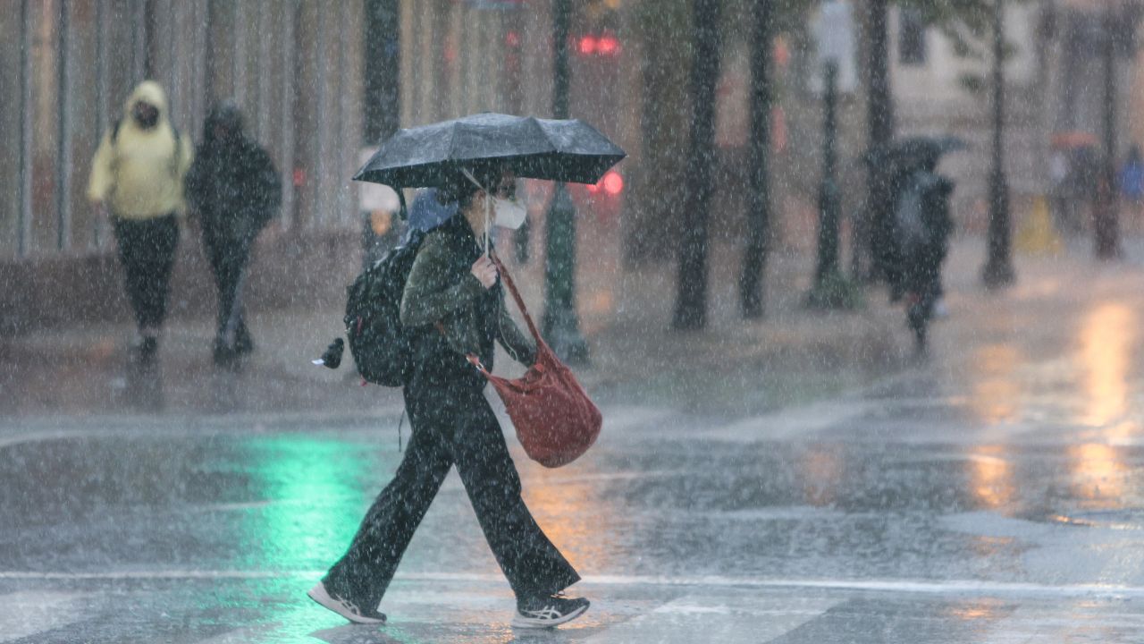
Pedestrians should also be alert for icy sidewalks and parking lots, particularly near businesses, apartment complexes, and transit stops.
Power Outage Risk and Road Condition Resources
While widespread outages are not expected, localized power disruptions remain possible where ice accumulates on trees and power lines—especially in western Wisconsin where totals may be higher. Residents should be prepared for brief outages and use caution around downed lines.
Drivers can check current road conditions by calling 511 in Minnesota or Wisconsin, or by using state transportation websites and mobile apps for real-time updates.
What to Expect Through the Rest of Tuesday
Winter Weather Advisories are expected to remain in effect through midday, with conditions gradually improving as temperatures inch upward. However, slick spots may persist into the afternoon in shaded areas and on untreated surfaces. Another refreeze is possible overnight if skies clear and temperatures drop again.
Residents are encouraged to monitor updated forecasts, adjust travel plans when possible, and remain alert for changing conditions throughout the day.
Conclusion
Freezing rain and dense fog have created widespread icy conditions across the Twin Cities and eastern Minnesota, making travel hazardous through Tuesday morning. Even as precipitation tapers, lingering ice and poor visibility continue to pose risks. Caution, patience, and preparedness remain essential until temperatures rise and road treatments take full effect.
If you experienced slick roads or hazardous travel conditions this morning, share your experiences in the comments below to help others stay informed and safe.