La Crosse, Wis. — A late-night rain and snow mix is expected to move across southeast Minnesota and central Wisconsin tonight, bringing mostly light accumulation but the potential for slick travel in some areas, especially north of Highway 29.
Forecasters say warmer air near the surface has reduced the risk of widespread heavy snowfall compared to earlier expectations. However, changing temperatures overnight could still create hazardous driving conditions in localized spots.
What to Expect Overnight
According to the National Weather Service in La Crosse, rain will gradually mix with snow and, in some locations, briefly transition to all snow after mid-evening. For most of southeast Minnesota and central Wisconsin, snowfall totals are now expected to remain under one inch.
The primary concern remains north-central Wisconsin, particularly areas north of Highway 29. In these locations, colder air is expected to hold on longer, allowing snow to accumulate more efficiently. Several inches of snow are still possible in this zone, which could lead to slushy or snow-covered roads by early morning.
Cities and Regional Impacts
Cities such as La Crosse, Winona, Rochester, Eau Claire, and Black River Falls may see brief bursts of snow overnight. While accumulation in these areas should be minimal, untreated roads, bridges, and overpasses could become slick for a short time.
Farther north, including Medford, Wausau, and Wisconsin Rapids, snow may fall for a longer duration. This increases the likelihood of measurable accumulation and more noticeable travel impacts, especially during the late-night and early-morning hours.
Travel Concerns and Road Conditions
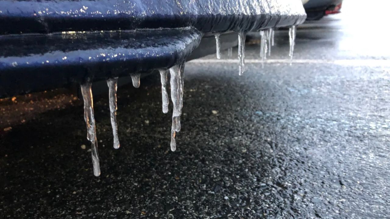
Drivers are urged to use caution overnight, particularly in rural areas and on secondary roads where temperatures can cool more quickly. Even light snowfall can create slick conditions when combined with residual moisture from earlier rain.
Bridges and elevated surfaces are especially vulnerable, as they tend to freeze faster than surrounding roadways. Reduced visibility is also possible during brief heavier snow bursts.
Improvement Timeline
Conditions are expected to gradually improve by morning across southern and western parts of the region as precipitation tapers off and temperatures stabilize. In north-central Wisconsin, snow may linger a bit longer into the morning hours, with lingering slick spots possible through the early commute.
Forecasters note that additional updates may be issued overnight if temperatures cool faster than expected or if snow bands become more persistent in northern areas.
Residents are encouraged to monitor local forecasts and road condition reports before traveling late tonight or early Wednesday morning.