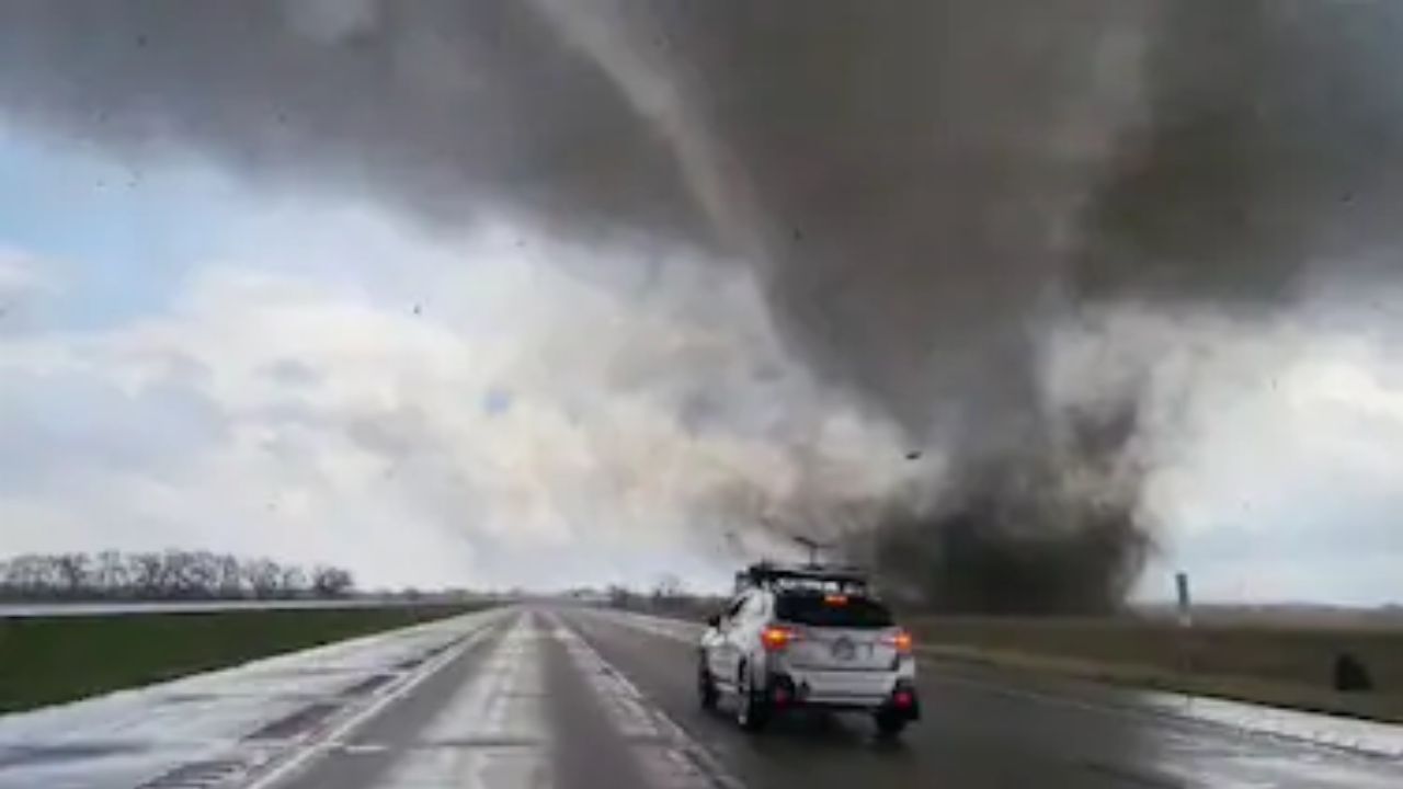
Macon, Georgia – Dry air and low humidity are creating heightened fire concerns across parts of North and Central Georgia on Friday, especially near the I-16 corridor. Officials are warning residents to avoid outdoor burning as conditions could allow fires to ignite and spread quickly.
A Fire Danger Statement remains in effect through 7 p.m. Friday, with the most critical window during the afternoon and early evening hours.
Elevated Fire Risk Across Central Georgia
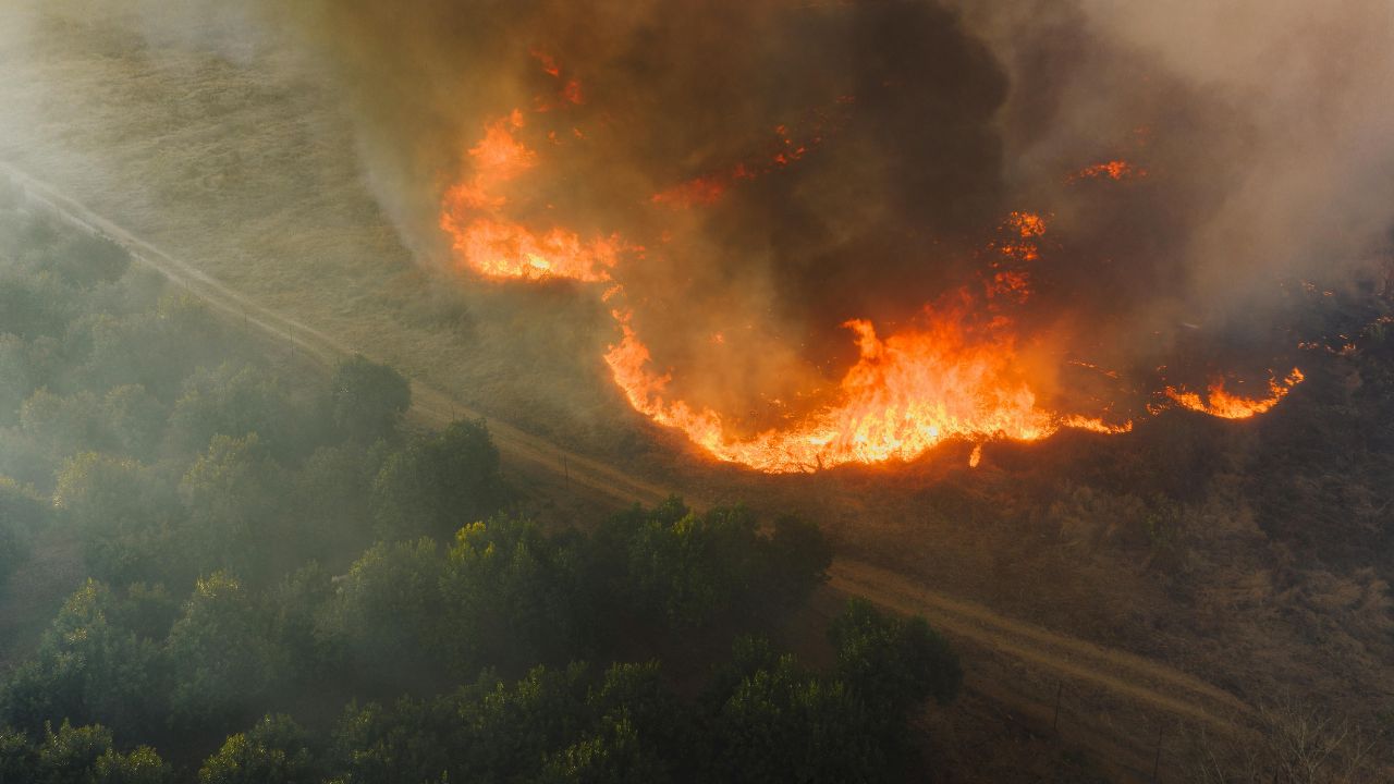
The warning comes as relative humidity levels are expected to drop to 25% or lower across the region. When humidity falls this low, vegetation dries out rapidly, turning grass, leaves, and brush into easy fuel for flames.
Light northeasterly winds between 5 and 10 mph may seem mild, but even modest wind speeds can help small fires spread faster than expected. Areas along and near Interstate 16, including Macon and surrounding communities, are considered particularly vulnerable due to a mix of dry fuels and open terrain.
Officials strongly discourage outdoor burning, including yard debris and campfires. Any spark — whether from discarded cigarettes, equipment, or debris burning — could lead to a fast-moving brush fire under these conditions.
Short-Lived Dry Pattern Before Weekend Rain
The elevated fire danger is expected to be temporary. Forecasters indicate that a weather system will move into the region late Saturday, bringing increasing cloud cover and a growing chance of rain.
Widespread rainfall is anticipated early Sunday and could continue into early Monday morning. Current projections show rainfall totals ranging from 0.5 inches to as much as 2 inches across the state.
Most communities — including Macon, Atlanta, Athens, Rome, and Columbus — are expected to receive between 1 and 1.5 inches of rain. The highest probability for steady precipitation appears Sunday afternoon and evening, when rain coverage could become nearly widespread.
Although recent forecast updates have slightly lowered expected rainfall totals and slowed the arrival time, the system should still provide beneficial moisture to ease dry ground conditions.
Travel Impacts on Major Highways
Drivers traveling along major corridors such as I-16, I-75, I-85, I-20, and US-78 should prepare for wet roadways Sunday. Reduced visibility and slick pavement may create slower travel conditions during periods of steady rain.
At this time, widespread flooding is not anticipated. However, isolated ponding on roadways and brief heavier downpours could still cause minor travel disruptions.
Planning Ahead for the Weekend
For residents with outdoor plans, Friday carries the highest wildfire risk, particularly during the warmest part of the day. Extra caution is advised with grills, fire pits, and any activity that could produce sparks.
By contrast, Sunday presents the greatest likelihood of rainfall, which may interrupt outdoor events but help reduce fire concerns moving forward.
In the meantime, residents across Central Georgia are encouraged to remain vigilant, follow local burn guidance, and monitor weather updates as conditions evolve.