If you stepped outside in Denver on Thursday afternoon, it probably felt more like late spring than winter. Sunshine filled the sky and temperatures climbed into the upper 60s across the Mile High City. But don’t let the warm weather fool you — a dramatic weather shift is just hours away.
A powerful Colorado moisture system is moving in overnight, bringing rain, snow, and slick roads just in time for Friday’s morning and afternoon commutes.
From Warm & Sunny to Snowy & Slushy
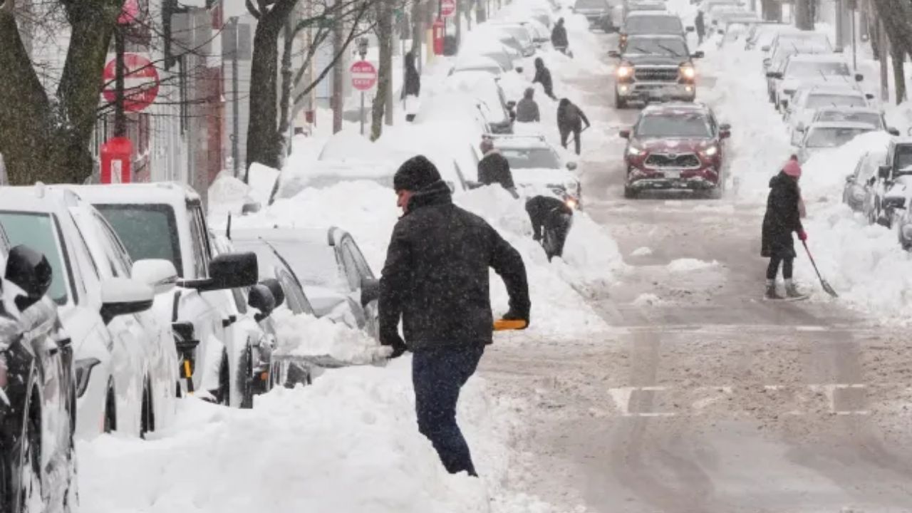
It’s been nearly 39 days since Denver officially recorded measurable snowfall. That streak is expected to end early Friday morning.
Here’s how the system will unfold:
- After Midnight: Rain begins as a cold front pushes in.
- Around 3 a.m.: Rain transitions to snow.
- Morning Commute: Snow spreads from Fort Collins through the Denver metro area.
- Late Morning to 4 p.m.: Heavier burst of snow moves through.
- Afternoon Commute: Snow intensity eases but continues to fall.
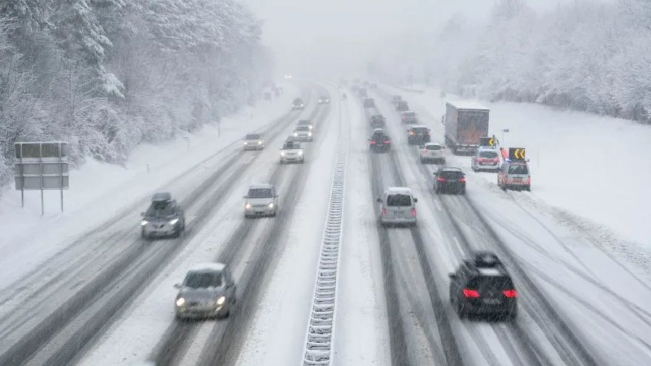
Drivers should prepare for wet to slick roads, reduced visibility, and possible slowdowns across major highways and city streets.
How Much Snow Will Denver Get?
For most of the Denver metro area, snowfall totals are expected to range between:
- 1 to 3 inches across central Denver and surrounding communities.
However, areas closer to the foothills could see significantly more:
- Golden
- Ken Caryl
- Castle Rock
- Parts of Douglas County
These areas may receive 3 to 8 inches of snow, especially at slightly higher elevations.
Foothills & Mountains: Winter Storm Alerts in Effect
While Denver deals with moderate snowfall, the foothills and mountains are in for heavier impacts.
- Snow begins late Thursday night.
- Moderate to heavy snowfall continues through Friday.
- Roads at higher elevations may quickly turn hazardous as snow begins sticking.
Some mountain regions could see a foot or more of snow, especially across central and northern ranges. Western Jefferson County’s higher elevations may pick up 4 to 10 inches of fresh accumulation.
Travel through mountain passes could become dangerous as conditions deteriorate.
Avalanche Risk Increasing
With significant snowfall piling up in a short period of time, avalanche danger across mountain terrain is expected to rise. Backcountry travelers and outdoor enthusiasts should stay alert and check conditions before heading out.
What This Means for Friday
Friday is shaping up to be a major weather turnaround day:
- Slower morning commute
- Heavier snow during mid-day hours
- Lingering snow for afternoon drive time
- Hazardous travel in foothills and mountains
After enjoying near-70° warmth, Denver residents will wake up to a very different scene — one that looks and feels like winter again.
If you have travel plans, leave early, drive cautiously, and be prepared for changing road conditions throughout the day.