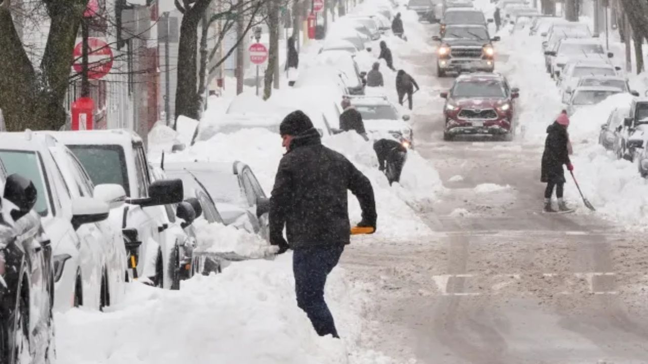
A late-season winter storm is set to disrupt parts of the northern United States, bringing a mix of snow, sleet, and freezing rain that could lead to power outages and hazardous travel conditions.
While much of the country has begun transitioning into spring, regions across the Midwest and Northeast near the Canadian border are still facing winter’s impact. The same system that recently ended a prolonged heat wave in western states is now moving eastward, colliding with a fresh surge of cold air from Canada.
Snow is gradually tapering off in Minnesota, but icy conditions remain a concern. Areas from southwestern Minnesota to northern Michigan have already seen significant freezing rain, with parts of central Wisconsin receiving up to half an inch of ice. This buildup has weighed down power lines and tree branches, leaving tens of thousands without electricity.
Another wave of winter weather is expected over the weekend, particularly across the northern Plains and upper Midwest. Ice accumulation in regions like northern Wisconsin and Michigan could trigger additional outages as weakened trees and infrastructure struggle under the weight.
Heavy, wet snow is also forecast across parts of Wyoming, Montana, and into Ontario, with totals potentially reaching up to 12 inches or more in some areas. Roads in these regions may quickly turn from wet to snow-covered, increasing the risk for drivers.
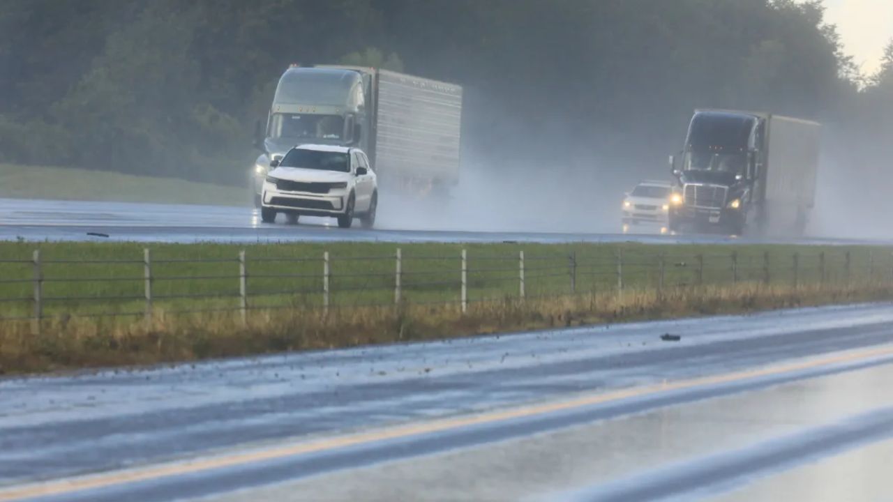
Further south, the same storm system may bring heavy rain and thunderstorms, adding to the overall weather challenges as the weekend approaches.