A powerful storm system is set to impact large parts of the central and eastern United States this weekend, bringing a mix of severe thunderstorms, tornado threats, and heavy rainfall.
On Friday, storms are expected to intensify from central Texas through the Midwest, including areas like Dallas, Oklahoma City, and Kansas City. These storms could produce damaging winds and large hail, with the highest tornado risk stretching from southern Iowa into northeastern Oklahoma.
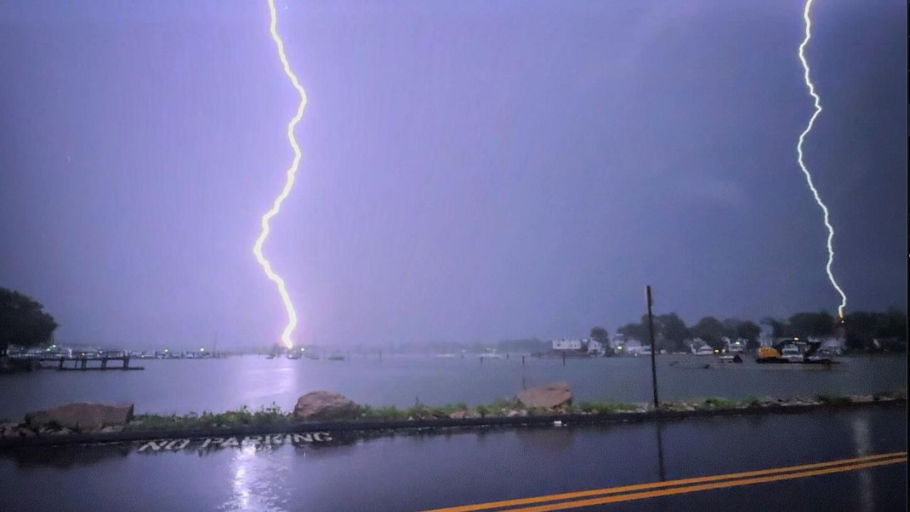
By Saturday, the system will push toward the Great Lakes, forming a long line of strong storms along a cold front. Severe weather may extend from northeastern Texas to western New York, bringing gusty winds, heavy downpours, lightning, and isolated flooding. Although storm intensity may decrease later at night, hazardous conditions are still expected.
On Easter Sunday, the storm front is forecast to reach the East Coast, affecting major cities along the Interstate 95 corridor, including New York City and Washington, D.C.. While storms may weaken, localized strong winds and small hail remain possible.
Heavy rainfall throughout the weekend increases the risk of flash flooding, especially in low-lying areas. The Texas Hill Country is particularly vulnerable, where repeated rounds of rain could lead to rapidly rising water levels.
Residents, travelers, and campers are urged to stay alert, avoid flood-prone areas, and monitor local weather updates as conditions evolve.