Denver is in for a sharp weather change early next week after a calm and sunny weekend.
The National Weather Service says dry conditions will hold through Sunday, with temperatures climbing into the upper 60s and low 70s across Denver, Boulder, Fort Collins, Aurora, and Greeley.
But that changes fast Monday evening.
When Will It Hit?
Rain moves into the Denver metro between 3 p.m. and 10 p.m. Monday, quickly turning to snow at higher elevations along I-70. By late Monday night, colder air moves in — bringing slushy roads and icy patches to foothill areas like Golden and Evergreen.
Where Will It Be Worst?
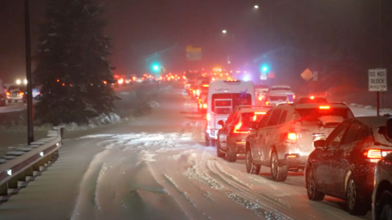
Mountain drivers face the biggest risk. The Eisenhower Tunnel corridor and Summit County could see fast snow accumulation on roads within hours.
Even lower elevation bridges and overpasses may become slippery overnight as temperatures drop quickly.
What Should Drivers Do?
Avoid unnecessary travel on I-70 and U.S. 285 Monday night, especially in higher terrain. Plan ahead and check road conditions before heading out early Tuesday morning.
The weekend stays warm and quiet — but do not let that fool you. This storm moves in fast.
Stay updated on the latest Colorado weather at thecmeaglet.com