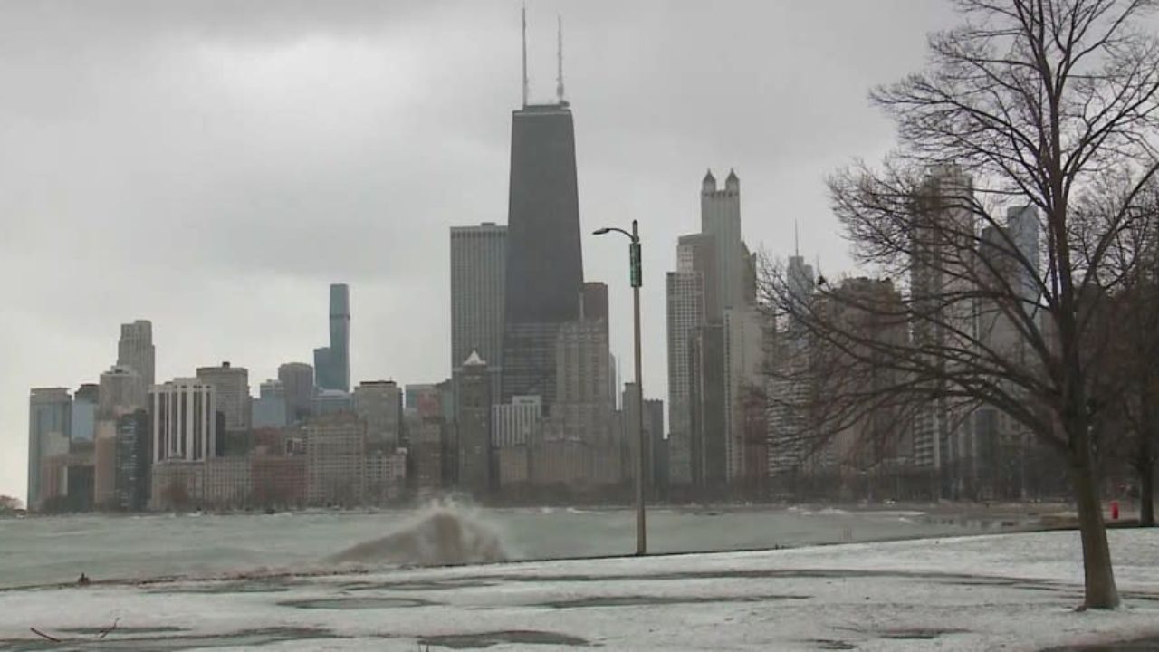
Chicago, Illinois – A noticeable chill is settling over the region tonight, and it’s not just another cool evening. Temperatures are expected to dip into the low to mid-30s, bringing a real risk of frost that could affect plants, early crops, and even create slick spots in some areas by early morning.
According to the National Weather Service in Chicago, this cooling trend will continue through Friday night into early Saturday, when frost conditions are expected to become more widespread. Overnight lows tonight will hover between 34°F and 42°F, but by Friday night, temperatures could fall as low as 32°F to 37°F—ideal conditions for frost to form.
For many residents across the Chicago metro area, including those along major corridors like I-90, I-94, and I-55, the early morning hours could feel especially brisk. While areas closer to Lake Michigan may stay slightly warmer, suburban and outlying communities are more likely to experience frost due to faster heat loss overnight.
This kind of weather may not seem extreme, but it can have real impacts—especially for gardeners and homeowners. Sensitive plants, flowers, and early-season crops are at risk of damage or even death if left exposed for several hours in freezing or near-freezing temperatures. Covering plants or bringing them indoors can make a significant difference.
There’s also a small concern for drivers heading out early. While widespread icy conditions aren’t expected, patchy frost could develop on bridges and elevated surfaces, particularly in areas away from the lake. A little extra caution during the morning commute wouldn’t hurt.
The good news is that this cold snap won’t last long. By Sunday, temperatures are expected to rebound into the 60s, with even warmer conditions—possibly reaching the 70s—arriving by Monday. That means the frost threat should fade after Saturday morning, although the overall pattern will remain slightly cooler than average, with occasional chances for light showers early next week.
For now, it’s a reminder that even as spring progresses, a quick return to winter-like conditions can still catch people off guard. Taking a few simple precautions tonight could save plants—and prevent a chilly surprise in the morning.