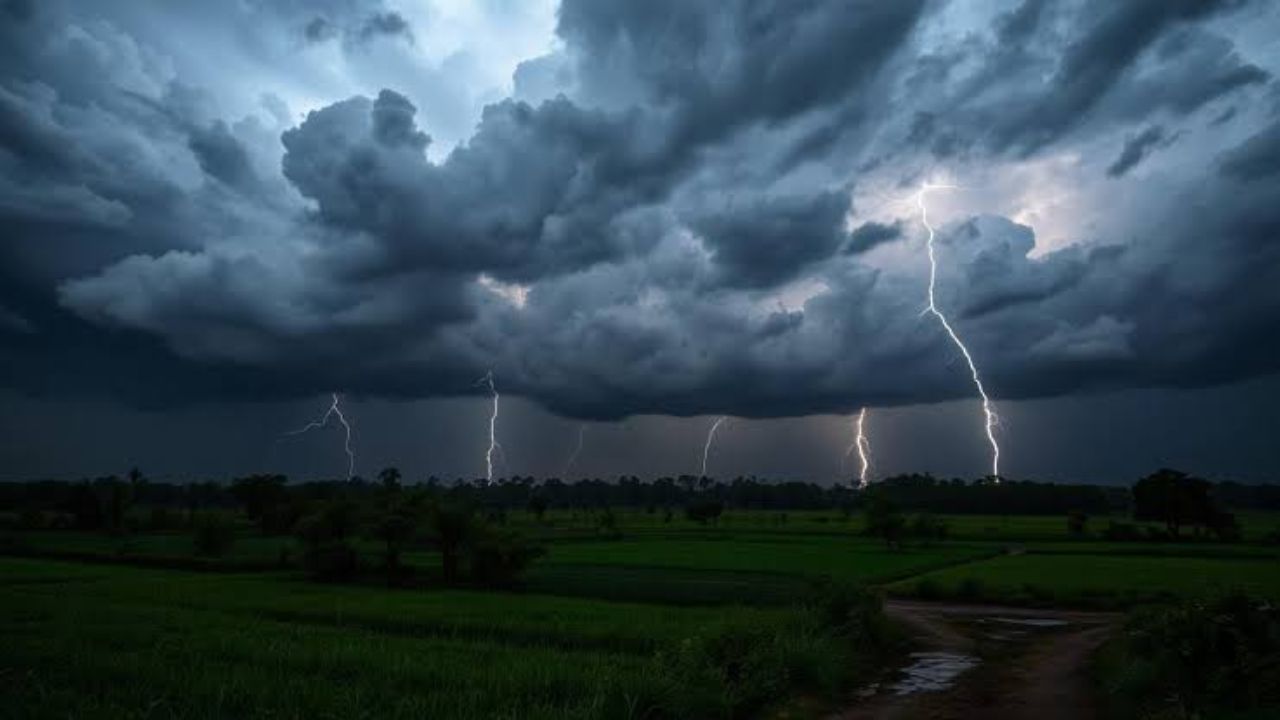
Kentucky is getting hit — and hit hard — this Memorial Day weekend, with round after round of storms rolling across the Commonwealth.
The holiday weekend started with a First Alert Weather Day on Friday as waves of heavy rain and strong storms pushed northward across the state. Now, heading into Sunday, forecasters warn that more is on the way — and that the severe weather threat, while not extreme, is far from over.
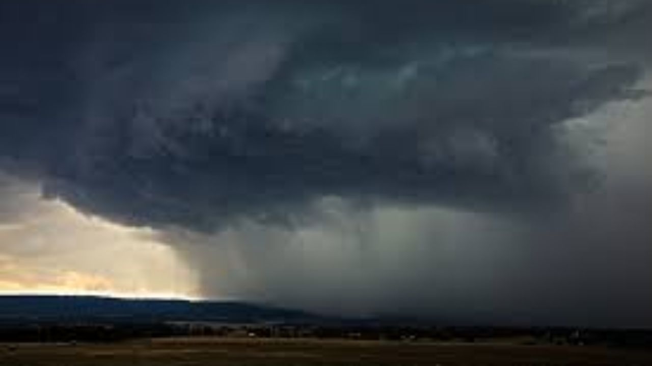
A warm front pressing in from the southwest is keeping the atmosphere unstable and loaded with moisture. Forecasters note that another wave of low pressure moves in Sunday and Sunday night, bringing yet another round of showers and storms. Many locations in Kentucky will have already picked up 1 to 3 inches of rain by Sunday — meaning the ground is saturated and even moderate additional rainfall could trigger flash flooding.
Western Kentucky faces the highest risk. An isolated strong-to-severe storm is possible in that region, with a brief tornado spin-up not out of the question. Damaging wind gusts are the primary threat — and in these conditions, they can come fast and without much warning.
Central and eastern Kentucky are not off the hook either. The overall atmosphere is unstable enough that any storm that develops could quickly become strong, producing very heavy rain, frequent lightning, and gusty winds.
The wet pattern doesn’t end after Sunday — another round of storms is expected on Memorial Day itself, continuing through Tuesday.
Stay prepared:
- Avoid crossing flooded roads or streams
- Be ready to move to shelter quickly if a warning is issued in your county
- Check your local emergency management alerts throughout the weekend
Kentucky, this is one of those weekends where being weather aware could make all the difference.