Buffalo, New York – A wet and unsettled weather pattern is already taking hold across western New York, bringing steady rain, gusty winds, and reduced visibility to the Buffalo area today. Roads are becoming slick, and drivers are being urged to stay cautious as conditions continue to worsen through the evening.
According to the National Weather Service, rain chances have climbed to nearly 80%, with wind gusts reaching up to 38 mph. These breezy conditions are pushing moisture inland, increasing the intensity of showers at times.
Travel could become difficult along major routes like I-90 and Route 33, especially during peak hours. Sudden downpours may reduce visibility, while standing water could form in low-lying areas. Officials advise allowing extra travel time and keeping headlights on during heavy rain.
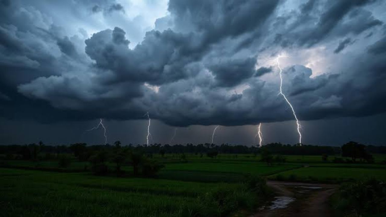
The situation is expected to become more active by Tuesday. Showers will continue throughout the day, with thunderstorms developing by afternoon and evening. Some storms may bring stronger wind gusts, and isolated severe conditions are possible.
Midweek offers little relief. Rain chances remain high through Wednesday and Thursday, keeping the ground saturated and raising the risk of localized flooding in poor drainage areas. Temperatures will stay on the cooler side, mostly in the 60s.
Conditions may begin to ease slightly by Friday, though cloudy skies are likely to linger. Another round of showers could return over the weekend, continuing this unsettled spring pattern.
5-Day Outlook for Buffalo:
Today: High 58°F, showers and breezy
Tuesday: High 66°F, showers with thunderstorms
Wednesday: High 64°F, showers likely
Thursday: High 70°F, showers
Friday: High 63°F, mostly cloudy