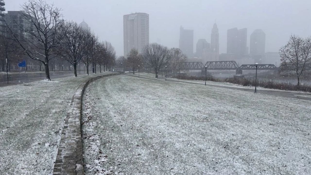
CINCINNATI, Ohio — A sharp drop in temperatures is expected across the Ohio Valley over the next couple of days, bringing a noticeable chill and raising concerns about frost formation by early Saturday morning. Residents in cities like Cincinnati, Dayton, Columbus, and Springfield could wake up to temperatures hovering close to 32°F, a level that can impact both travel conditions and sensitive vegetation.
According to the National Weather Service in Wilmington, overnight temperatures will remain below normal through the weekend. Friday and Saturday nights are expected to see lows settling in the low to mid-30s, with Saturday night posing the highest risk for frost development—especially in rural and low-lying areas where cold air tends to settle more quickly.
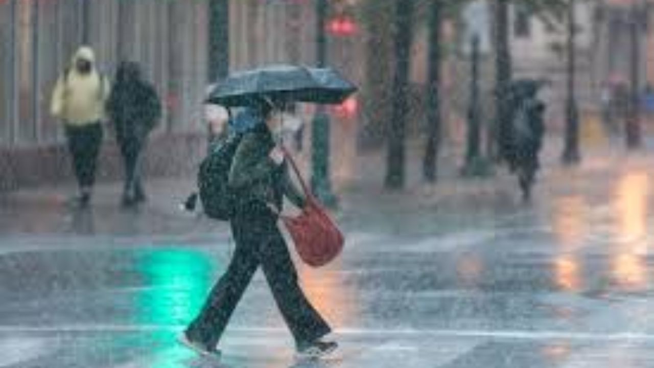
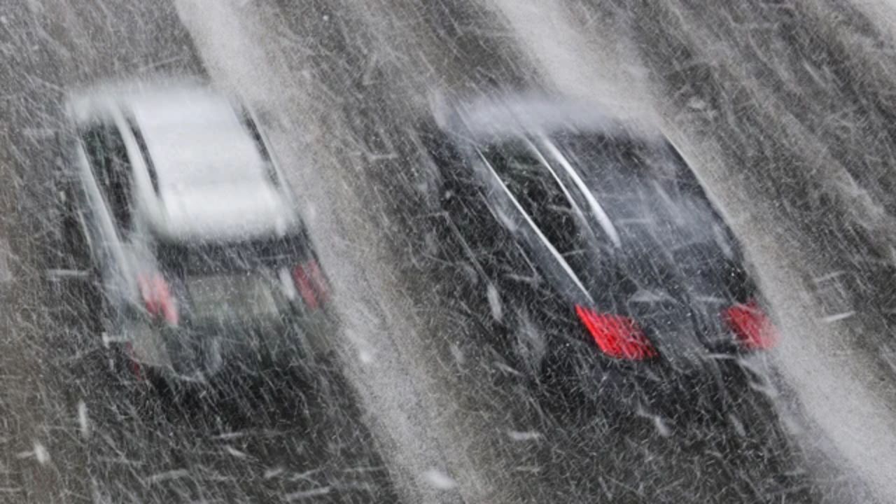
The cooling trend means early morning hours, particularly before 9 a.m., could bring patchy frost on elevated surfaces such as bridges and overpasses. Drivers using major highways like I-71, I-75, and I-70 are advised to remain cautious, as these surfaces can become slick even when surrounding roads appear dry.
Beyond travel concerns, the colder conditions could also affect agriculture and home gardens. Early-season crops, flowering plants, and backyard vegetation are especially vulnerable when temperatures dip close to freezing. Areas outside city centers may experience slightly colder conditions, increasing the likelihood of frost damage.
Daytime temperatures won’t offer much relief in the short term. Highs are expected to stay in the mid-50s to low 60s through Sunday, keeping the region cooler than usual for this time of year.
Residents are encouraged to take simple precautions ahead of the cold snap. Covering plants, bringing potted vegetation indoors, and protecting outdoor plumbing can help reduce potential damage. Morning commuters should also plan for a slightly slower drive and stay alert for any icy patches during pre-dawn hours.
Looking ahead, conditions are expected to improve early next week. A gradual warm-up beginning Monday could push temperatures back into the upper 60s and low 70s. However, the warmer trend may come with increasing chances of rain.
Officials note that forecasts are still being monitored closely, and additional advisories may be issued if overnight temperatures drop further than expected.