UNITED STATES – A dangerous stretch of severe weather is expected to impact large parts of the central U.S., with forecasters warning of very large hail, damaging winds, and possible tornadoes over the next several days. The system is expected to begin Thursday and continue through the weekend, putting millions of residents on alert.
According to the National Weather Service, a powerful storm system will develop across the Plains and parts of the South, bringing multiple rounds of intense thunderstorms. These storms could form quickly and become severe within a short time, increasing the risk for widespread damage.
States in the Direct Path
Early forecasts indicate that at least six states are most at risk on Thursday, including Minnesota, Iowa, Nebraska, Kansas, Missouri, and Oklahoma. The storm system is expected to stretch from northern Oklahoma up into southern Minnesota.
Several major cities—including Kansas City, Wichita, Omaha, Lincoln, and Des Moines—could experience severe weather conditions. Residents in these areas are being advised to stay alert as storm intensity and timing may shift rapidly.
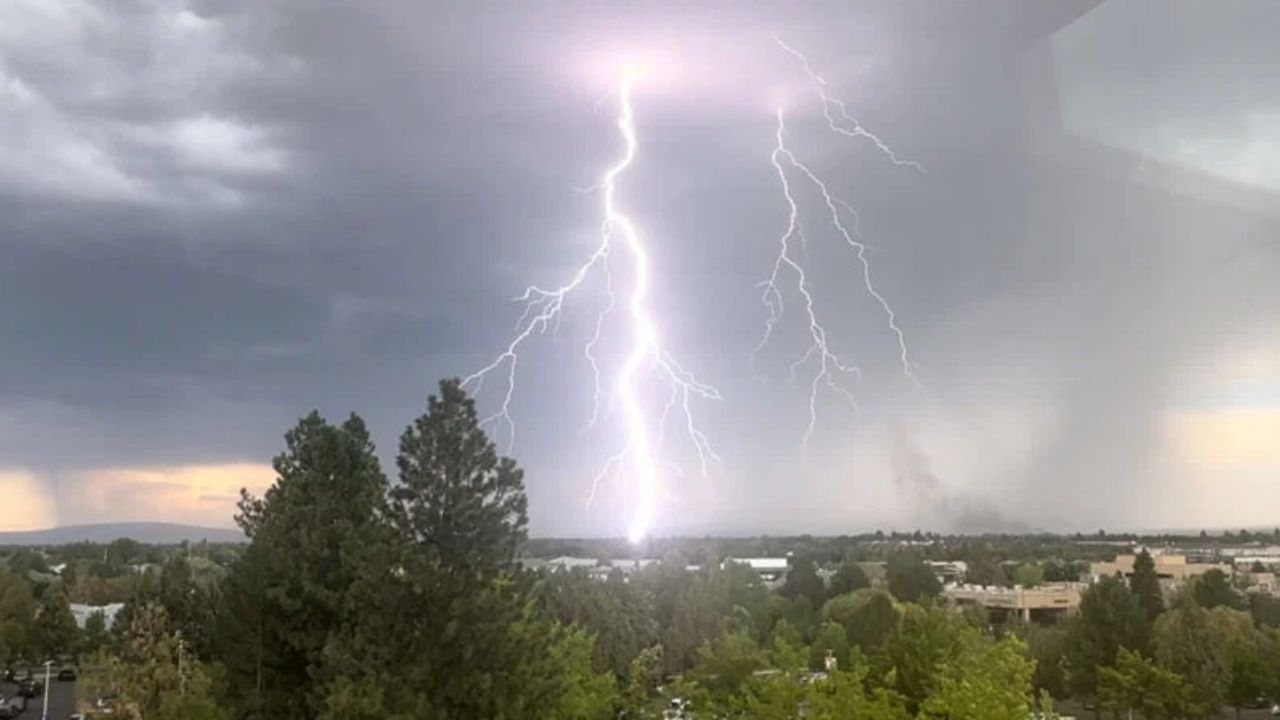
Why This Storm System Is Concerning
Meteorologists are highlighting the risk of “very large hail,” which can cause serious damage to cars, roofs, and buildings within minutes. Along with hail, strong wind gusts capable of downing trees and power lines are also expected.
There is also a risk of isolated tornadoes, particularly during the afternoon and evening hours when atmospheric conditions are more unstable. Experts warn that some storms may intensify quickly, leaving little time for preparation.
Threat Extends Into the Weekend
The severe weather pattern is not expected to end after Thursday. Forecast models suggest that additional storm systems will develop on Friday and continue into the weekend.
Areas from northeast Texas through the Ozarks and into parts of the mid-Mississippi Valley could see continued storm activity. As the system shifts, regions across Texas, Oklahoma, and Kansas may face repeated rounds of severe weather.
More Storms Possible Next Week
Looking ahead, forecasters say storm activity could continue into early next week, especially across the lower Mississippi and Tennessee Valleys. While details are still evolving, the risk of large hail, damaging winds, tornadoes, and heavy rainfall remains.
Officials emphasize that this could be a prolonged weather event, not just a single-day outbreak, making ongoing awareness critical.
Residents Urged to Stay Prepared
Authorities are urging people in affected areas to take precautions now. This includes keeping emergency supplies ready, monitoring real-time alerts, and avoiding unnecessary travel during severe weather conditions.
Weather experts stress that staying informed through trusted updates from agencies like the National Weather Service can make a significant difference in safety.
As this situation develops, more updates are expected. Residents are encouraged to remain cautious and prepared as conditions can change quickly.