Medford starts dry but storms are on the way by evening — and drivers on I-5 need to be ready.
The National Weather Service says Medford will warm from the upper 40s this morning to near 79 degrees this afternoon. The morning commute stays clear across Medford, Ashland, and Central Point.
But conditions shift fast after 5 p.m.
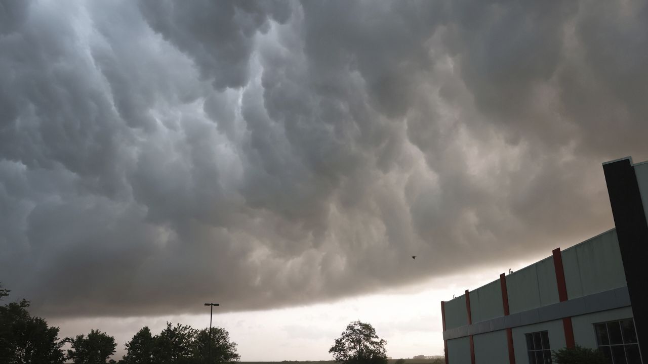
Thunderstorms could develop by late afternoon, bringing brief downpours, slick roads, and reduced visibility — especially along I-5, Highway 62, and low-lying areas near Bear Creek.
This Weekend Gets Worse
Saturday brings showers from late morning onward, with isolated thunderstorms possible after 2 p.m. Wet roads expected from Grants Pass to Eagle Point.
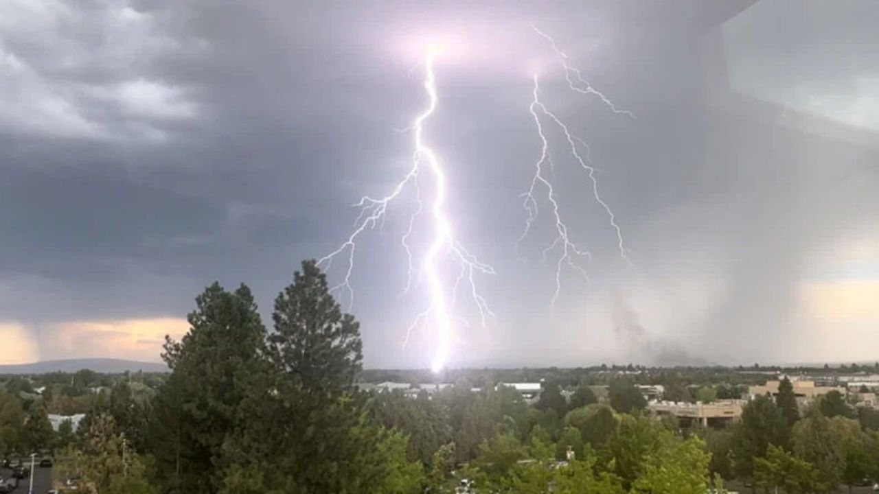
Sunday is the warmest day — near 84 degrees — but storm chances continue into the afternoon. Lightning and heavy rain could slow traffic near Medford Airport and along I-5.
5-Day Outlook
- Saturday: 78° | Showers, PM storms
- Sunday: 84° | Warm, isolated storms
- Monday: 75° | Slight showers
- Tuesday: 80° | Mostly sunny
- Wednesday: 83° | Sunny, warmer
Storms are not expected to reach severe levels, but lightning and gusty winds remain possible.
Keep your devices charged and avoid open areas during storms.
Full weather updates and road condition alerts at thecmeaglet.com