
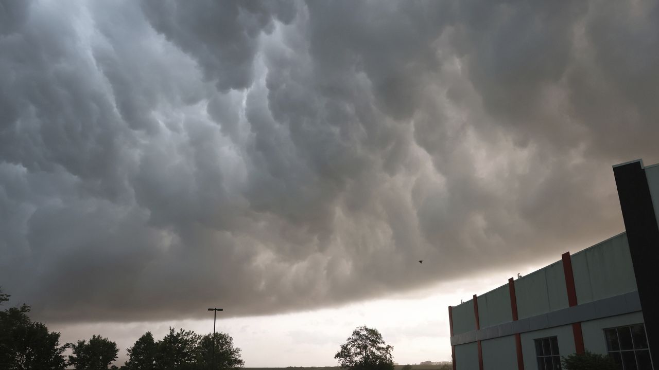
North Texas is heading into an active stretch of weather, with Sunday shaping up to be the most impactful day. Forecasters are warning of a growing risk for severe storms, including large hail, damaging winds, and even a few tornadoes.
Friday evening will stay relatively calm, with partly cloudy skies and mild temperatures. Any isolated showers are expected to fade overnight, keeping most areas dry with lows in the mid-60s.
Saturday brings a gradual shift. The morning should remain mostly dry, offering a window for outdoor plans. However, by the afternoon, scattered storms may develop—especially west of Interstate 35. While severe weather is not expected to be widespread, a few storms could produce gusty winds and hail later in the evening as activity moves in from the west.
Sunday is the primary concern. Morning clouds and scattered storms may limit instability early, but if the skies clear and temperatures rise, conditions could quickly become favorable for stronger storms. Meteorologists highlight that increased instability and wind shear could lead to severe weather development by afternoon and evening.
The main threats include large hail, damaging wind gusts, and isolated tornadoes. Areas along and west of I-35 currently face the highest risk, though this could shift depending on how earlier storms evolve. Localized flooding is also possible in areas that receive heavy rainfall.
Looking ahead, storm chances continue into early next week, with Tuesday and Wednesday bringing additional rounds of unsettled weather. Residents are advised to stay alert and monitor updates as conditions develop.


