Springfield, Illinois – A powerful round of severe storms is set to impact central Illinois this Tuesday afternoon, bringing the risk of damaging winds up to 60 mph, large hail, and possible travel disruptions during peak evening hours.
Weather conditions are expected to turn volatile as a slow-moving cold front pushes across the region, creating the perfect setup for scattered but intense thunderstorms.
What’s Happening Right Now
Storms are forecast to develop both ahead of and behind the cold front, increasing the chances of multiple waves of severe weather through the day.
Areas under the highest risk include:
- Springfield
- Peoria
- Bloomington
- Decatur
- Champaign
Residents in these cities should stay alert as storms may intensify rapidly, especially during the late afternoon.
Main Threats to Watch
The approaching system carries multiple hazards that could impact both safety and daily routines:
- Damaging Winds: Gusts up to 60 mph capable of downing trees and power lines
- Large Hail: Hailstones up to 1 inch in diameter
- Tornado Risk: A low but possible chance, mainly in northeastern parts of central Illinois
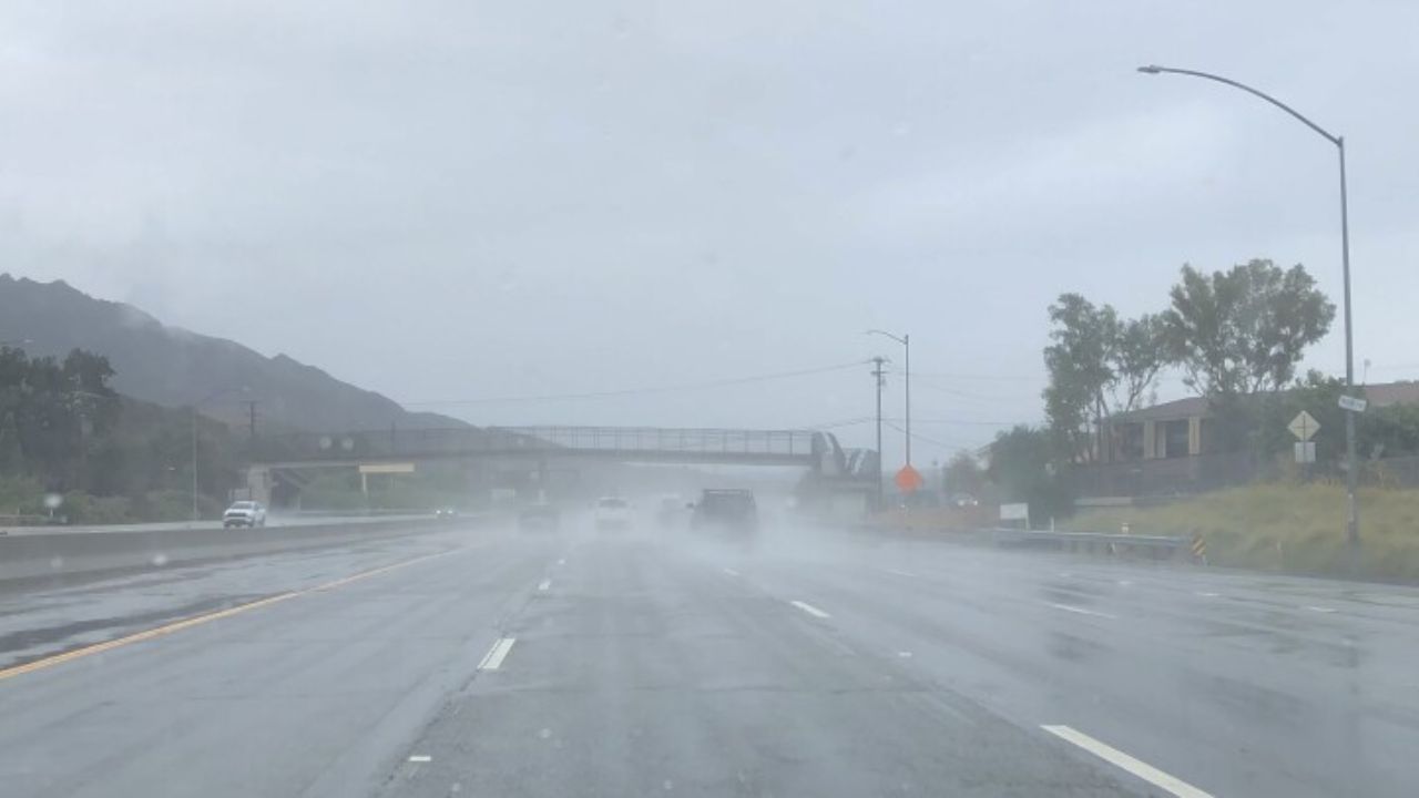
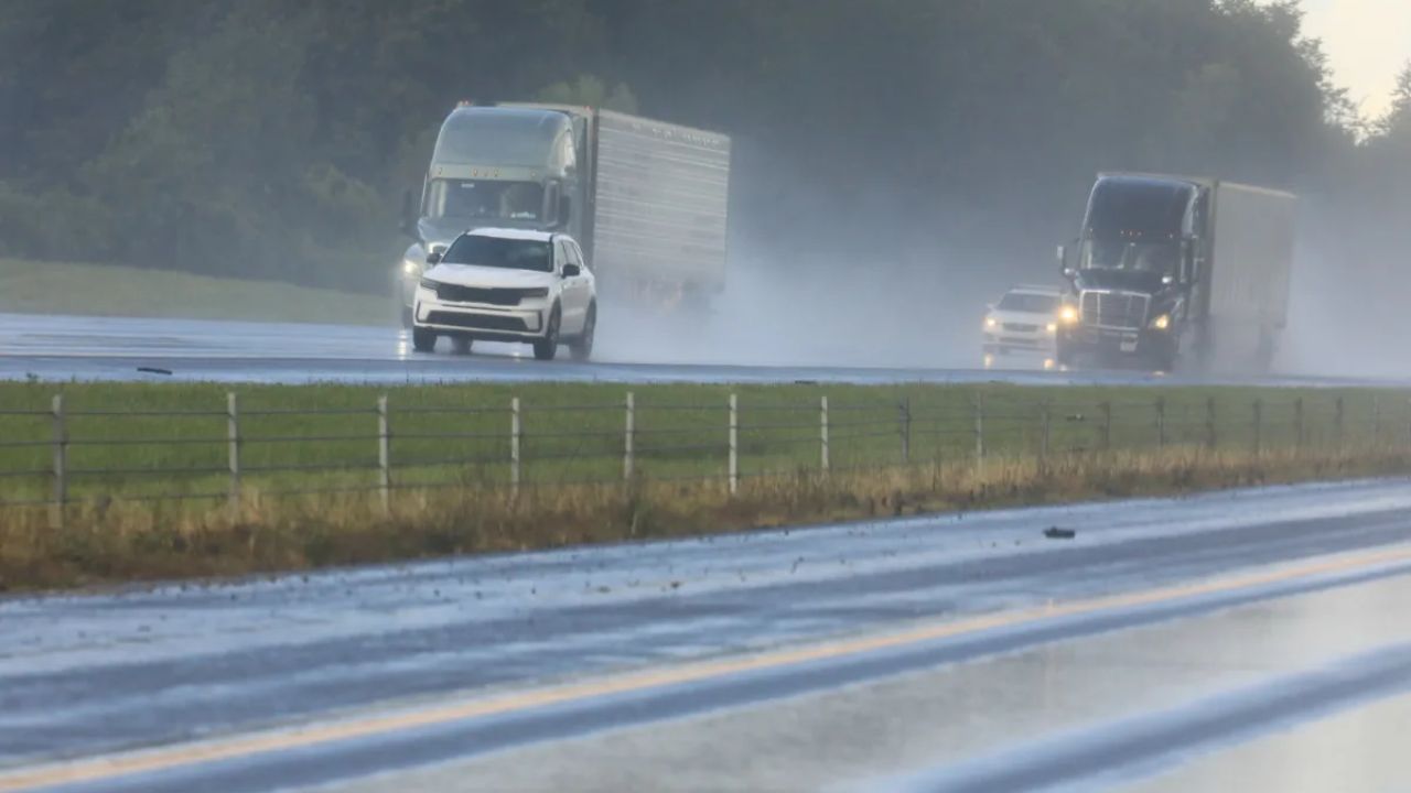
- Reduced Visibility: Heavy rain could make driving dangerous within minutes
Travel Could Be Impacted
Major routes including:
- Interstate 55
- Interstate 72
- Interstate 74
may experience sudden weather changes, strong crosswinds, and debris on the road. Evening commuters should prepare for delays or consider adjusting travel plans.
Safety Tips You Should Follow
- Secure loose outdoor items like furniture or decorations
- Stay indoors as soon as storms approach
- Keep your phone charged and alerts turned on
- Avoid unnecessary travel during peak storm hours
- Move to a safe interior room if warnings are issued
What Happens Tonight?
The severe weather threat is expected to continue into Tuesday night, gradually weakening as the system moves out of the region. However, conditions may remain unpredictable, and warnings could be issued with little notice.
Bottom Line:
If you’re in central Illinois today, especially around Springfield and nearby cities, stay alert. These storms have the potential to turn dangerous quickly, and preparation can make all the difference.