Pennsylvania – Rain has already begun across Pittsburgh this morning, but the real concern builds later today as strong thunderstorms move into the region. Conditions are expected to intensify quickly, bringing the threat of damaging winds and large hail by the afternoon and evening hours.
Storm Risk Increasing Through Afternoon
A marginal risk for severe thunderstorms remains in place through tonight, with storm chances rising to nearly 90%. As atmospheric instability builds, storms are likely to strengthen after mid-afternoon, creating sudden and potentially hazardous conditions.
This system is part of a broader spring weather pattern stretching from the Ohio Valley into the Northeast, where repeated energy waves are triggering heavy rainfall and strong storm development. While not every area will see severe weather, any storm that intensifies could bring quick and impactful conditions.
Travel Disruptions Likely During Evening Commute
Drivers should prepare for difficult travel conditions across major routes including:
- I-376
- I-79
- Route 28
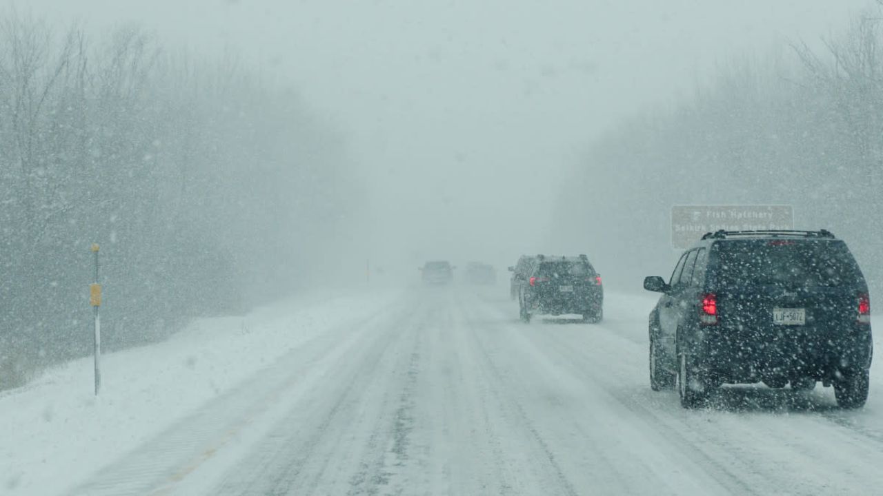
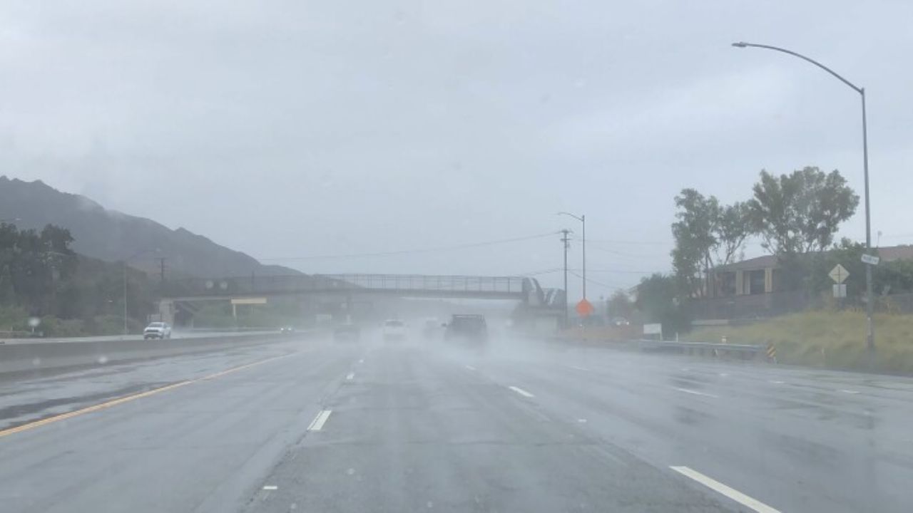
Heavy rain may lead to:
- Reduced visibility
- Water pooling on roads
- Sudden slowdowns during peak hours
Lightning and storm activity could also cause temporary delays at Pittsburgh International Airport, especially during the evening window.
Tonight and Tomorrow Outlook
Storms are expected to continue into the night, bringing lingering thunder and additional rainfall before gradually easing early Thursday.
Temperatures will stay mild today, with highs around 66°F, before rising into the low 80s on Thursday, setting the stage for another possible round of storms.
Weekend Weather Trend
Conditions begin to improve heading into Friday and the weekend, with:
- Warmer temperatures
- Intervals of sunshine
- Occasional scattered storms still possible
5-Day Weather Forecast: Pittsburgh, PA
- Today: Showers and thunderstorms likely, high near 66°F
- Thursday: Warmer with possible storms, high near 81°F
- Friday: Chance of showers and storms, high near 81°F
- Saturday: Scattered storms possible, high near 83°F
- Sunday: Showers likely, cooler, high near 58°F
What You Should Do
- Avoid unnecessary travel during peak storm hours
- Keep headlights on and drive cautiously in heavy rain
- Stay indoors during lightning activity
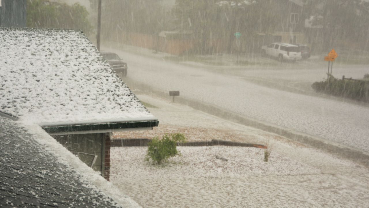
- Secure loose outdoor items due to strong wind gusts
Stay alert this afternoon—storms may develop quickly and intensify with little warning.