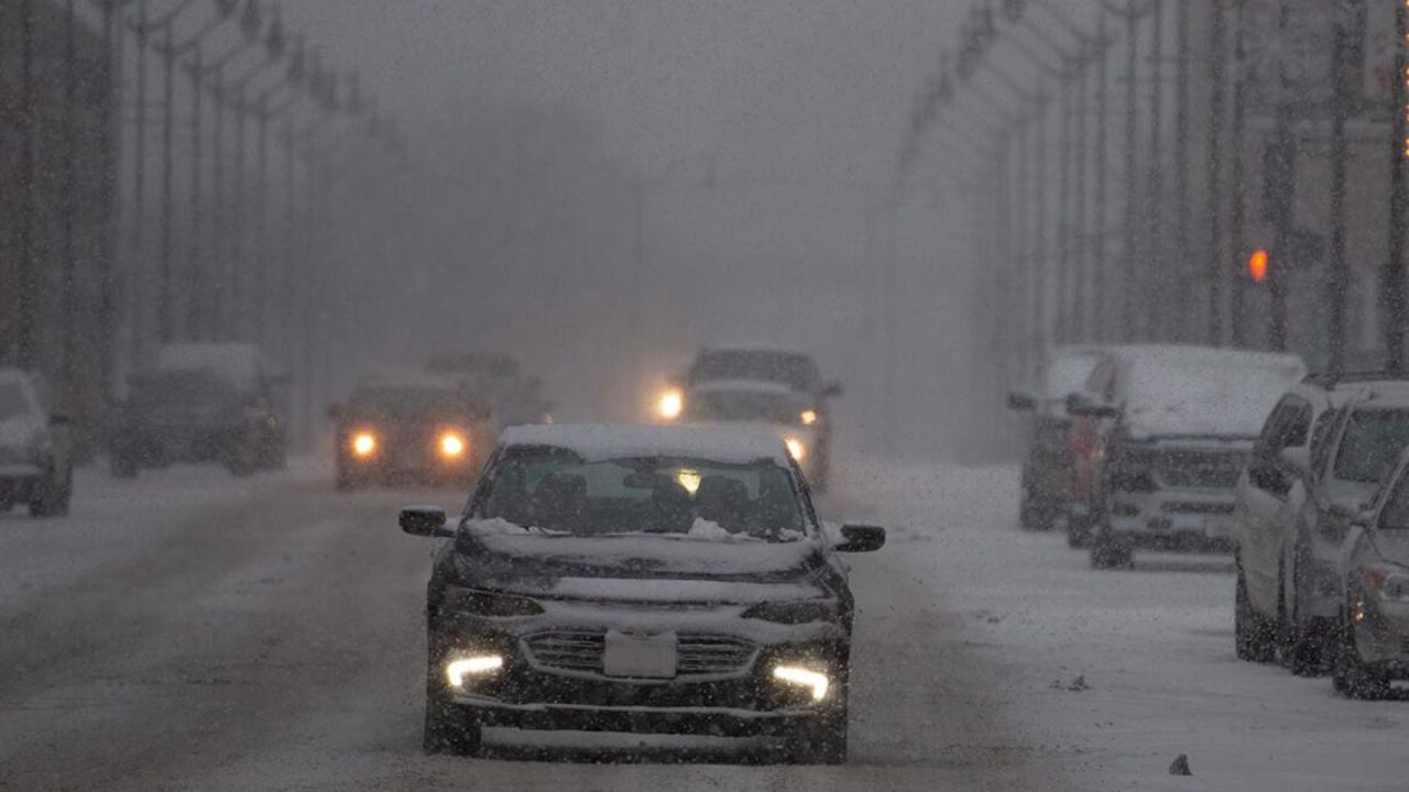
After a brief taste of spring warmth, residents across the Northeast and parts of the Midwest are now facing a sharp return to winter-like conditions. A fresh surge of cold Canadian air is pushing temperatures down rapidly, bringing snow showers and freezing conditions back into the region.
Many people stepping outside early this week were met with an abrupt chill, as temperatures dropped into the 30s and low 40s—significantly colder than just days ago. The shift feels even harsher because some areas saw temperatures 20 to 40 degrees higher over the weekend.
The reason behind this sudden change is a dip in the jet stream, allowing cold air from Canada to sweep southward. This pattern is triggering rounds of flurries and snow showers from the Midwest into the Northeast, including states like Michigan, Pennsylvania, New York, and parts of New England.
In higher elevations, snowfall could become more noticeable, with a few inches possible in mountainous regions. Lower areas may only see light accumulation or a slushy coating, but the cold winds will make it feel even harsher.
Beyond the discomfort, the biggest concern this week is the expected hard freeze. Overnight temperatures are set to drop sharply, potentially damaging plants and early spring blooms. Residents are being advised to take precautions, especially gardeners and homeowners.
While the cold snap may feel like a setback, it won’t last long. Forecasters expect temperatures to rebound quickly later in the week, bringing a return to more typical spring conditions.