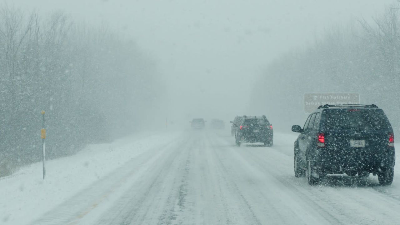
Gaylord, Michigan — A messy mix of light snow, rain, and fog is creating tricky travel conditions across the area today, with temperatures sitting right at the freezing mark.
Drivers may notice roads appearing simply wet, but conditions can change quickly. With temperatures at 32°F, even minor shifts can lead to slick patches—especially on bridges, overpasses, and less-traveled roads. Fog in some areas is also reducing visibility, adding another layer of risk for commuters.
As the afternoon progresses, precipitation is expected to become lighter and more scattered. Temperatures will gradually rise into the low 40s, helping improve road conditions. However, shaded spots may remain slippery longer than expected.
The bigger concern comes tonight. Skies will begin to clear, but temperatures are forecast to drop sharply into the mid-20s. This creates a strong chance of a flash freeze, where leftover moisture refreezes into black ice. Drivers heading out late should stay alert, as ice may not be visible.
Saturday will bring a welcome break, with sunshine and highs reaching the low 50s—offering time for roads to dry out.
Looking ahead, a stronger weather system arrives late Saturday into Sunday. Rain chances climb significantly, with temperatures rising into the 60s. While snow won’t be an issue, steady rainfall and reduced visibility could impact travel, particularly along major routes.
Residents are advised to stay cautious, plan ahead, and monitor changing conditions closely.