Aspendell, CA – A powerful spring storm is bringing dangerous weather conditions to California’s Eastern Sierra, where heavy snowfall and strong winds are expected to continue through late Sunday night.
According to the National Weather Service office in Las Vegas, a Winter Weather Advisory remains in effect across the region. Snowfall totals are expected to reach 3 to 7 inches between 8,000 and 9,500 feet, while higher elevations above 9,500 feet could see 8 to 12 inches. In the highest peaks and ridgelines, snowfall may exceed one foot.
Conditions are expected to briefly improve Saturday afternoon before a stronger wave of snow returns later in the evening and continues overnight. This second round could bring the most intense snowfall and further reduce visibility.
The bigger concern, however, may be the wind. Gusts up to 60 mph are forecast, creating blowing and drifting snow that can quickly make roads hazardous. Drivers could face near whiteout conditions in exposed areas, especially along mountain passes and ridges. Bridges and overpasses are likely to become icy first, increasing the risk of accidents.
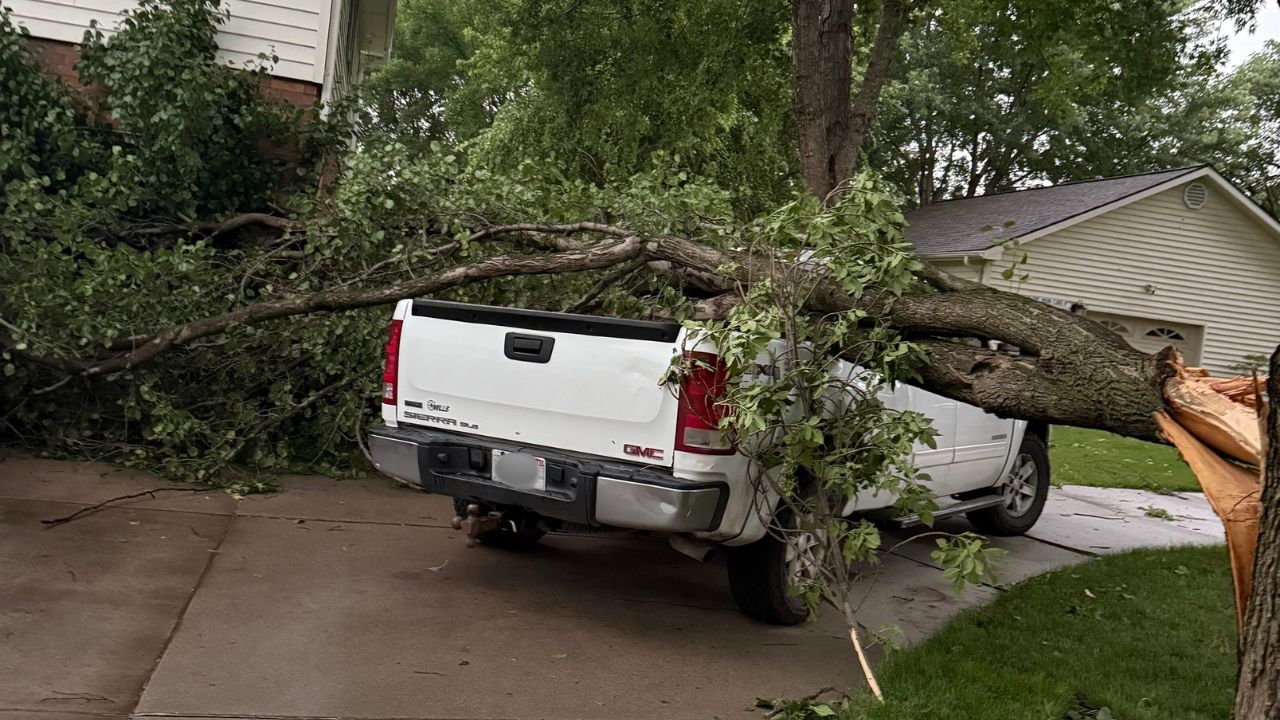
Officials warn that the combination of wind and snow may also impact trees and power lines in vulnerable areas, potentially leading to localized outages.
Travelers are urged to slow down, allow extra distance between vehicles, and check road conditions before heading out. Those outdoors should remain cautious, as icy surfaces can develop rapidly.
The storm is expected to gradually weaken late Sunday night, but hazardous conditions may linger until then.