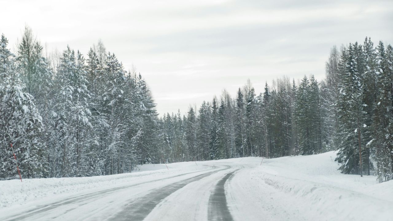
Lincoln, NE — A sharp drop in temperatures overnight is expected to bring widespread frost across parts of Nebraska and western Iowa, putting plants at risk and potentially creating hazardous travel conditions early Friday morning.
According to the National Weather Service, temperatures are forecast to fall between 29°F and 36°F from midnight through 9 a.m., with the coldest window likely between 3 a.m. and 7 a.m. This period is when frost formation is expected to peak across eastern and central Nebraska.
Cities including Lincoln, Omaha, Grand Island, and Norfolk are all in the impact zone, along with surrounding rural communities such as Fremont, Columbus, and Beatrice.
What’s Happening and Why It Matters
Clear skies and light winds are creating ideal conditions for rapid heat loss overnight. As temperatures dip toward freezing, moisture in the air settles onto surfaces and freezes, forming frost.
This may seem minor, but frost can cause serious damage in just a few hours—especially to sensitive plants, crops, and early-season gardens. Agricultural areas around Lincoln and Norfolk could see the most impact, where vegetation is more exposed.
Areas Most at Risk
Low-lying regions and open rural landscapes are expected to feel the coldest temperatures. Areas near the Platte River valley, drainage zones, and sheltered fields are particularly vulnerable because cold air tends to settle there before sunrise.
Urban spots are not immune either. Patchy frost may form on bridges, overpasses, and untreated roadways, including stretches of Interstate 80 and Highway 77.
Travel Concerns for Friday Morning
Early commuters should be cautious. While widespread ice is not expected, isolated slick spots could develop where frost accumulates—especially on elevated road surfaces. Drivers heading out before sunrise may encounter reduced traction in some areas.
How to Stay Safe
Residents can take a few simple precautions to reduce risk:
- Cover or bring in sensitive plants before midnight
- Protect outdoor pipes, hoses, and irrigation systems
- Delay early travel if possible, especially on untreated roads
- Use caution on bridges and overpasses during the morning commute
A Sign of a Larger Weather Pattern
This cold snap is part of a broader system pushing unseasonably chilly air across the central Plains. While temperatures are expected to rebound later in the day, the overnight dip serves as a reminder that late-season frost can still arrive quickly.
Officials urge residents to stay alert through the early morning hours, as conditions can change rapidly before sunrise.