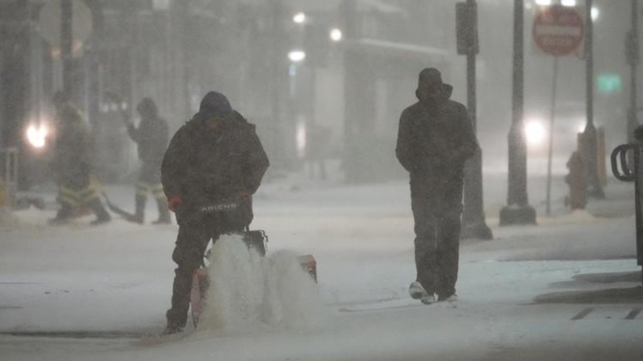
Maryland — After a calm and pleasant start to the week, weather conditions across the state are set to change, with multiple chances of rain expected from Tuesday through the weekend. Officials warn that Wednesday could bring the most impactful weather, including thunderstorms and potential travel disruptions.
The week began on a quiet note, especially in cities like Baltimore, where Monday evening remained clear and comfortable. Temperatures gradually cooled into the 50s overnight, with early Tuesday morning lows dipping into the mid to upper 40s. Residents stepping out early were advised to carry a light jacket due to the chilly start.
However, the calm conditions won’t last long.
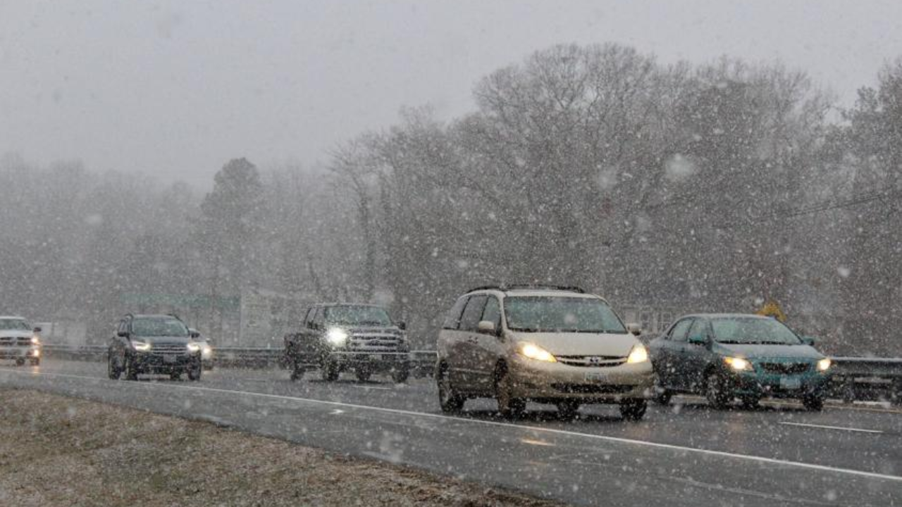
Cloud cover is expected to increase by Tuesday morning, with scattered showers developing later in the afternoon. Rainfall during the day is likely to remain light and uneven, meaning not all areas will experience showers. Temperatures are expected to reach the mid to upper 60s, though skies will stay mostly cloudy.
The weather becomes more active on Wednesday.
Forecasters indicate that conditions will remain mostly cloudy and breezy through the morning hours, with temperatures again climbing into the mid to upper 60s by the afternoon. By early afternoon, rain and thunderstorms are expected to develop and continue into the evening.
At times, the rain could be heavy. This raises concerns for the evening commute, as reduced visibility and wet roads may slow down traffic across several parts of the state. Minor flooding is also possible in low-lying or poorly drained areas where rainfall is more intense.
Rainfall totals are expected to range between 0.50 and 1 inch. While the heavier rain may create temporary inconvenience, it is also expected to help ease ongoing dry conditions in parts of Maryland.
Due to the timing and intensity of the weather, Wednesday has been flagged as a potential “Alert Weather Day,” with officials urging residents to stay updated and plan travel accordingly.
Looking ahead, unsettled weather may continue into the latter part of the week. Additional scattered showers are possible from Friday into Saturday, although there is still some uncertainty about how widespread the rainfall will be during that period.
Temperatures will remain below seasonal averages through the end of the week and into the weekend. Daytime highs are expected to stay in the low to mid-60s, while nighttime temperatures could drop into the upper 30s and low 40s. With cooler nights ahead, there is also a chance of patchy frost in some areas, particularly in rural regions.
A gradual warm-up is expected as the state moves into next week.
For now, residents are advised to prepare for changing conditions, keep rain gear handy, and stay informed as forecasts continue to evolve.