Cleveland, Ohio: A dramatic shift in weather is expected across northern Ohio on Thursday as unseasonably warm temperatures give way to strong evening storms capable of disrupting travel and power across the region.
After a mild and breezy start to the day, temperatures are forecast to climb into the upper 60s and low 70s by Thursday afternoon — well above seasonal averages. The brief taste of spring will help fuel instability in the atmosphere, setting the stage for a potent cold front sweeping through later in the day.
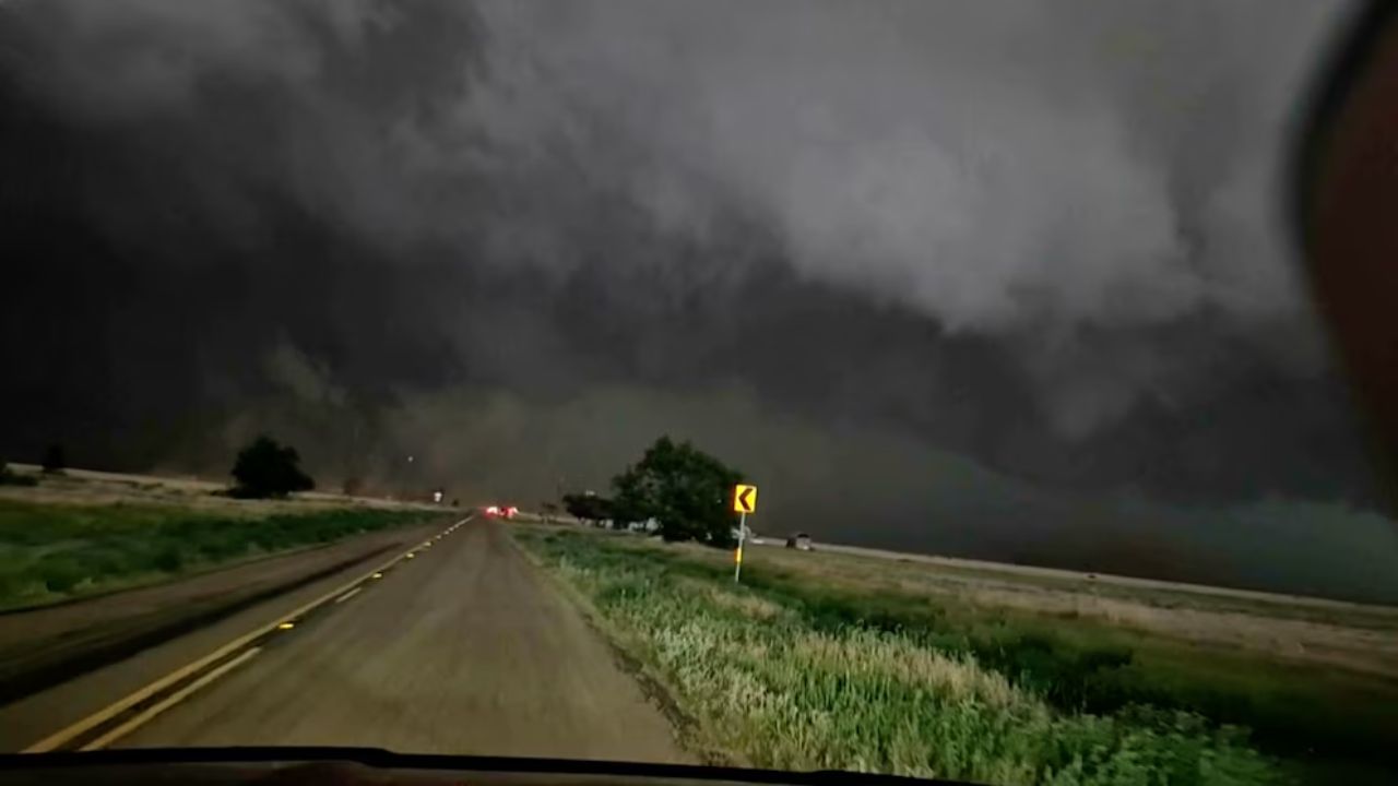
Storm chances will increase rapidly after 5 p.m., with the most intense activity expected between 5 p.m. and midnight. During this window, scattered to widespread thunderstorms may develop, some capable of producing:
- Damaging wind gusts
- Torrential downpours
- Frequent lightning
- Brief localized flooding in low-lying areas
Communities most at risk for stronger storms include Cleveland, Akron, Canton, Toledo, and Youngstown, particularly along and north of the Interstate 71 and Interstate 90 corridors. Evening commuters should prepare for rapidly changing road conditions, including sudden drops in visibility and standing water on highways and city streets.
The timing of the storms could significantly impact peak travel hours. Motorists are urged to slow down during heavy rainfall and allow extra stopping distance. Gusty winds may also make driving difficult for high-profile vehicles.
As the cold front pushes east overnight, temperatures will tumble quickly. What begins as a warm Thursday afternoon will transition into a much colder night, with readings dropping into the 30s by early Friday morning. In parts of inland northeast Ohio and nearby northwest Pennsylvania, lingering moisture combined with falling temperatures may briefly mix with wet snow before daybreak Friday. Any snow accumulation is expected to be light, but slick spots cannot be ruled out in elevated areas.
Residents are encouraged to take simple precautions ahead of the storm window:
- Secure patio furniture, trash bins, and loose outdoor items
- Fully charge phones and electronic devices
- Keep flashlights ready in case of isolated power outages
- Monitor updated forecasts through Thursday evening
Weather conditions may continue to evolve, and additional alerts could be issued if storm intensity increases. The quick shift from springlike warmth to strong storms and colder air serves as another reminder that Ohio’s transitional seasons can bring rapid and impactful changes.