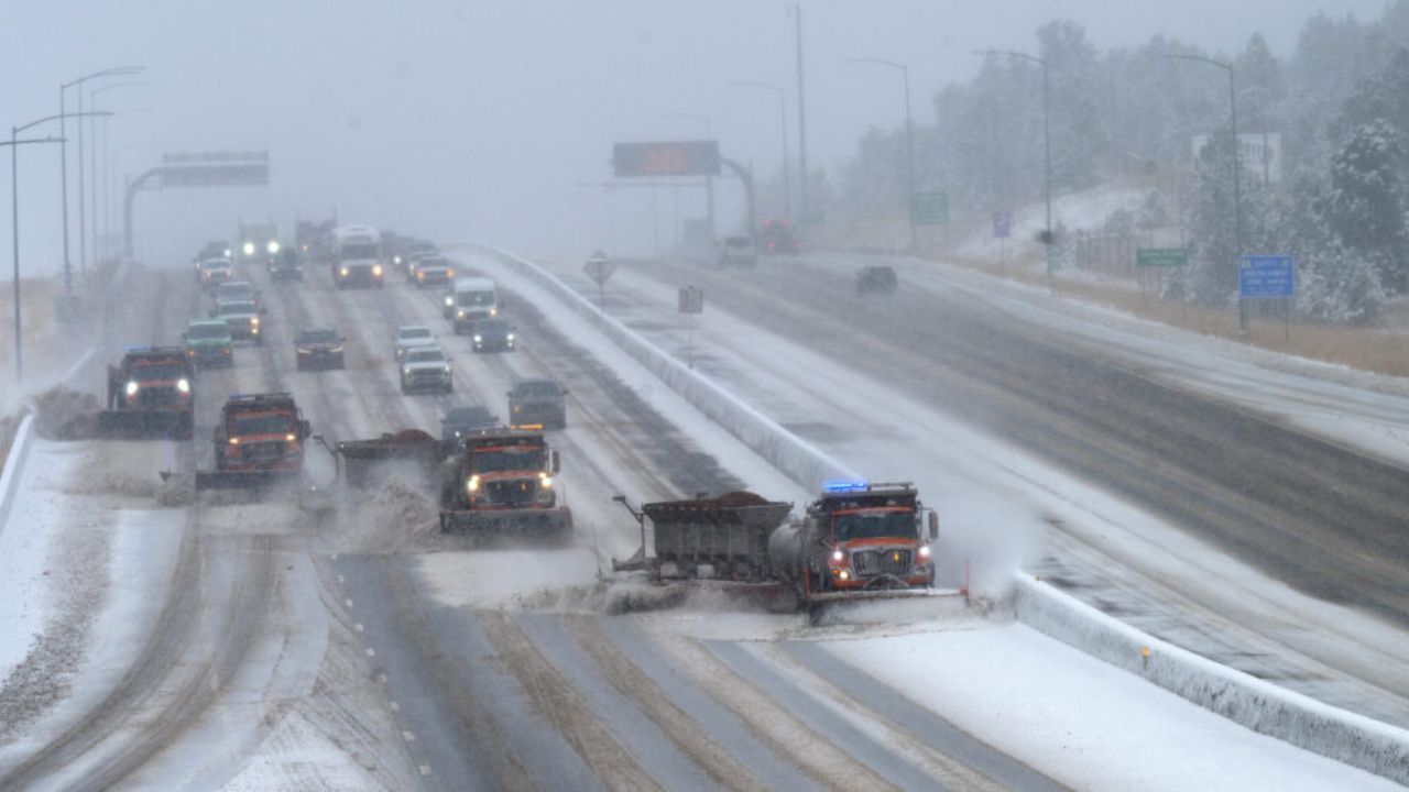
A powerful storm system is moving into Colorado starting Monday night, bringing widespread rain and snow through Wednesday — and a few degrees of temperature difference could determine how much snow your area gets.
When Will It Start?
- Monday Evening: Cold front arrives, rain on plains, snow in mountains
- Tuesday: Transition day — rain at lower elevations, snow levels dropping
- Tuesday Night into Wednesday Morning: Most dangerous window — rain changes to snow along I-25 including Denver metro
Expected Snow Totals
| Area | Snow Total |
|---|---|
| Denver and I-25 Corridor | 2 to 5 inches |
| Upper Foothills (above 7,000 ft) | 6 to 12 inches |
| Front Range Mountains | 10 to 20 inches |
| Eastern Plains | Mainly rain, light slush possible |
Could It Get Worse?
Yes. If temperatures drop a few degrees more, parts of the Denver metro could see 3 to 6 inches or more.
Which Areas Are Most at Risk?
- Denver metro area
- I-25 corridor
- Front Range mountains
- Upper foothills above 7,000 feet
What You Should Do Now
- Prepare your vehicle for snow and icy roads
- Avoid unnecessary travel Tuesday night through Wednesday morning
- Monitor local weather updates throughout Monday and Tuesday
- Keep an emergency kit ready in your car
The bottom line — snow is coming, but totals depend heavily on temperature and wind direction over the next 48 hours.
Stay updated and plan ahead.
— Coverage by thecmeaglet.com