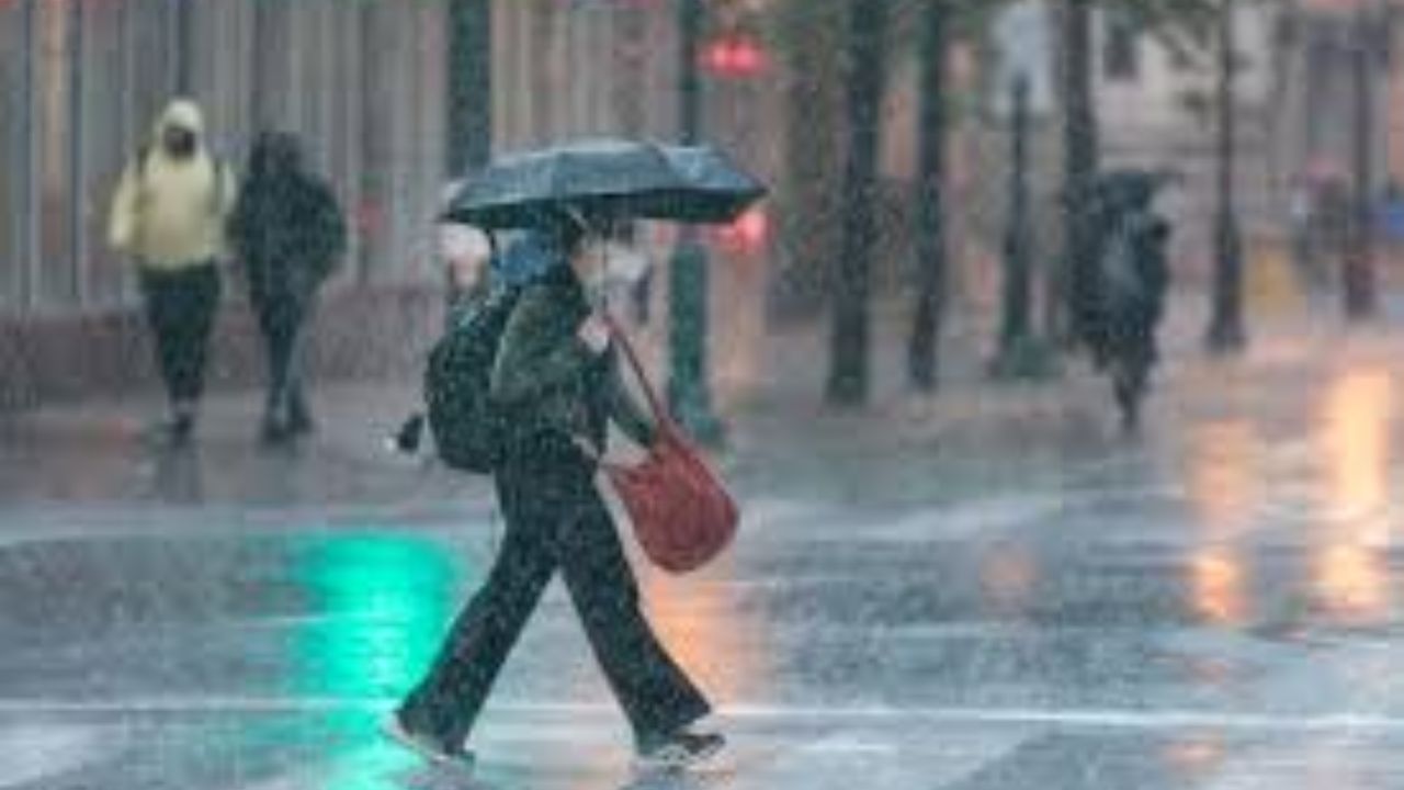
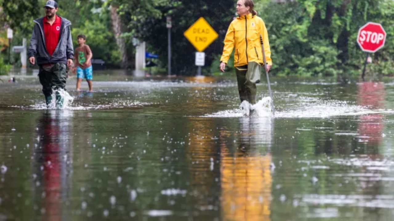
Colorado, USA – A dramatic shift in weather is set to impact Colorado over the next few days, bringing everything from elevated fire danger to snowfall and a sharp temperature drop. Officials are warning residents to stay alert as conditions change rapidly from warm and dry to cold and potentially hazardous.
The changing weather pattern begins Thursday, when strong southwest winds moving in ahead of a cold front from the Pacific Northwest will increase temperatures across areas east of the Continental Divide. While the warmth may feel pleasant, it comes with a serious risk. The combination of dry air, gusty winds, and higher temperatures is expected to significantly elevate fire danger across large portions of the state.
A Red Flag Warning has been issued for Thursday from 11 a.m. to 11 p.m., covering areas along the foothills near Denver, including eastern Adams and Arapahoe counties. Southeastern and south-central Colorado are also at risk. During this time, even a small spark could quickly turn into a fast-moving wildfire, prompting authorities to urge residents to avoid outdoor burning and activities that could ignite flames.
However, the warm and windy conditions won’t last long.
By Friday, a strong cold front will move into the region, bringing a noticeable drop in temperatures along with chances of snow. In the Denver metro area, snow may begin late Friday morning or into the afternoon. While accumulation is expected to be relatively light—ranging from a dusting to just under 2 inches in most urban areas—it could still create slick spots, especially on grassy surfaces and untreated roads.
Mountain regions are expected to see more significant snowfall, with totals ranging from 3 to 6 inches in some areas. This could impact travel in higher elevations, particularly as temperatures continue to fall.
The biggest concern arrives Friday night into Saturday morning, when a Freeze Watch goes into effect across eastern Colorado, including the Denver metro area, from 8 p.m. Friday to 8 a.m. Saturday. Temperatures are expected to drop sharply, with lows potentially reaching between 18 and 25 degrees. These freezing conditions could affect not only urban areas but also lower elevations along the Western Slope.
Residents are being advised to take precautions ahead of the freeze. Gardeners should cover or protect early spring plants, as the cold could damage or kill sensitive vegetation. Homeowners who have already activated sprinkler systems are encouraged to drain them or insulate exposed components to prevent freezing and potential damage.
This rapid shift—from fire risk conditions to snow and freezing temperatures within a matter of days—highlights the unpredictable nature of spring weather in Colorado. Officials continue to monitor the situation and recommend staying updated with local alerts as conditions evolve.