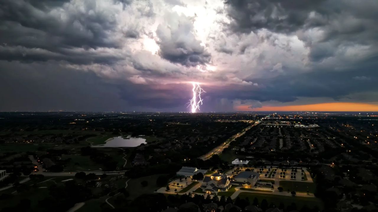
Fort Wayne, Ind. — A midweek round of rain is setting the stage for a sharp temperature drop that could bring damaging frost to parts of Northern Indiana early Saturday morning, raising concerns for farmers and homeowners alike.
According to the National Weather Service in Northern Indiana, scattered rain showers will move through the region Wednesday morning, especially impacting cities like Fort Wayne, South Bend, Elkhart, Warsaw, and Wabash between 7 a.m. and noon.
Rainy Commute Brings Immediate Hazards
Drivers should be cautious during the Wednesday morning commute. Rainfall can quickly mix with oil and debris on road surfaces, creating slick conditions within minutes—especially on busy roads, intersections, and highway ramps.
Reduced visibility and sudden braking risks are expected across urban areas, particularly in Fort Wayne and Elkhart. Officials advise slowing down and maintaining safe distances while traveling.
Cooler Pattern Moving In
Behind the rain system, a colder air mass will settle across the region, signaling a noticeable shift in weather heading into the weekend. Temperatures are expected to steadily decline, with overnight lows dipping into the upper 20s and low 30s by early Saturday.
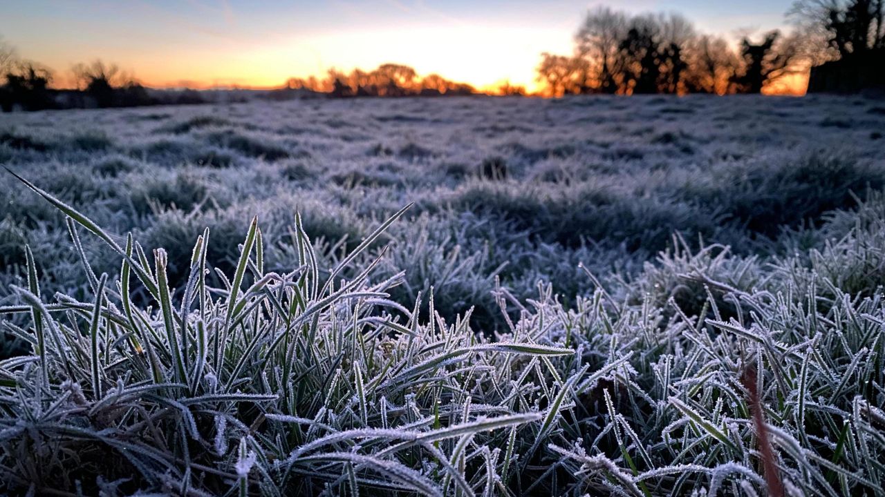
This drop is part of a broader cooling trend affecting the Great Lakes region, increasing the likelihood of frost and even localized freezing conditions.
Frost Threat Peaks Early Saturday
The most critical window arrives between 2 a.m. and 7 a.m. Saturday, when temperatures may fall below freezing in several areas.
Low-lying and rural locations—including farmland and valleys near South Bend and Warsaw—are especially vulnerable. In these spots, frost can form quickly and damage crops, garden plants, and other sensitive vegetation.
There is also a chance of patchy fog developing before sunrise, which could briefly reduce visibility for early morning drivers.
What Residents Should Do
Residents are urged to take simple precautions ahead of Friday night:
- Cover or bring indoors sensitive plants
- Protect outdoor crops where possible
- Stay alert for changing road conditions during early morning hours
- Allow extra travel time if driving in fog-prone areas
Situation Still Developing
Weather conditions remain subject to change, and additional advisories may be issued as the weekend approaches. Residents should continue monitoring local forecasts and alerts for the latest updates.
As Northern Indiana transitions from rain to a sudden chill, the focus now shifts from wet roads to protecting crops and staying prepared for an early-season frost.