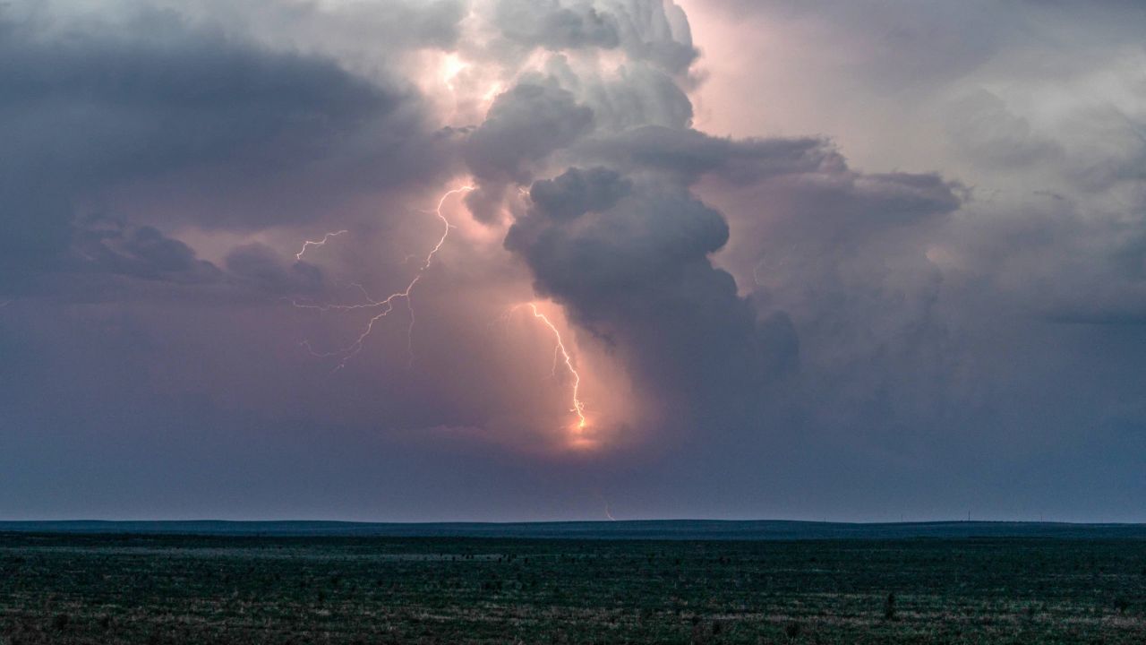
A powerful storm system churning in the Gulf of Mexico is set to pummel Louisiana and southern Mississippi with heavy rainfall, dangerous surf, and coastal flooding — and it’s arriving fast.
While weather officials confirm the storm will not reach tropical status, that’s little comfort for residents near the coast. The system is still packing enough punch to cause serious disruption from Friday through the weekend.
Meteorologists warn of localized rainfall accumulations of 1 to 3 inches in some areas — enough to overwhelm drainage systems and push water into low-lying neighborhoods. Coastal flood watches are already in effect across vulnerable areas.
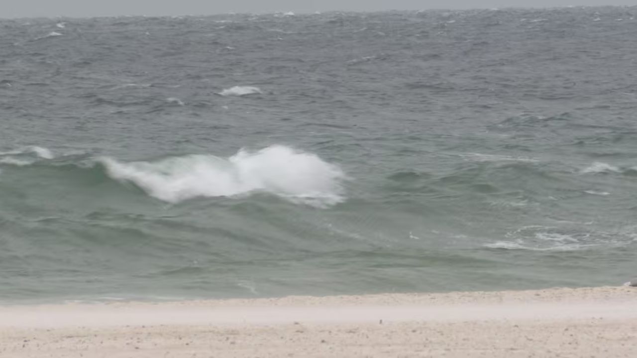
At the beach? Think twice before going in. The storm is generating rough surf and extremely dangerous rip currents that can overpower even experienced swimmers within seconds. Beach authorities are urging the public to stay out of the water entirely until conditions improve.
What you should do
- Avoid low-lying and flood-prone areas, especially near the coast, throughout the weekend.
- Stay completely out of the water — rip currents can be invisible from shore and pull swimmers far from safety.
- Do not attempt to drive through flooded roads. Just 6 inches of moving water can knock a person off their feet.
- Enable emergency weather alerts on your phone and monitor local NWS updates frequently.
Forecasters are continuing to monitor the system closely. Although it is not expected to strengthen into a named tropical storm, conditions can shift quickly over the Gulf. Residents should remain prepared and not let its non-tropical classification lower their guard.