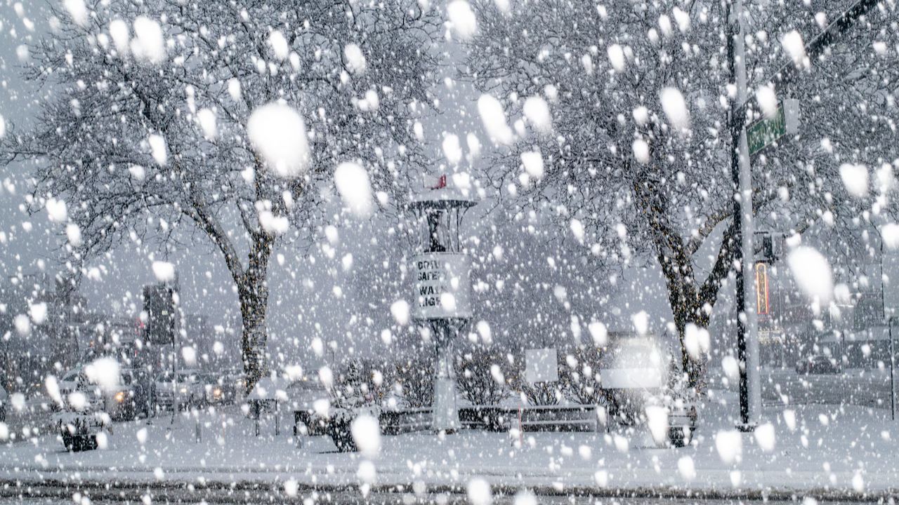
New York, NY – Long Island residents have less than 48 hours to prepare as dangerous blizzard conditions are forecast to hit Sunday evening, threatening to shut down travel and disrupt the Monday morning commute. Forecasters warn snowfall rates could reach 2 inches per hour, accompanied by powerful wind gusts up to 55 mph.
The storm is expected to intensify after sunset Sunday, with hazardous whiteout conditions developing across Suffolk County and eastern Nassau County overnight.
Incident Overview
The National Weather Service is forecasting a significant winter storm that could bring 10 to 14 inches of snow to parts of Long Island between Sunday evening and 10 a.m. Monday. The most intense snowfall is projected from 7 p.m. Sunday through early Monday morning, when heavy snow bands are expected to settle over the region.
Northeast winds will increase to 30 to 35 mph, with gusts reaching 55 mph, producing near-zero visibility and widespread blowing and drifting snow. These conditions meet the criteria for blizzard-level impacts, even if an official blizzard warning is still pending.
Timeline of Expected Conditions
Meteorologists indicate light snow could begin late Sunday afternoon, but conditions will rapidly deteriorate after sunset.
- By 7 p.m. Sunday: Snowfall intensifies across Suffolk County
- Late Sunday night: Peak snowfall rates of up to 2 inches per hour
- Overnight into early Monday: Strongest winds and lowest visibility
- By 10 a.m. Monday: Snow tapers off, though blowing snow may persist
The Monday morning commute is expected to be significantly affected, with lingering reduced visibility and untreated roadways.
Travel Disruptions Likely Across Major Corridors
Major transportation routes may become impassable during peak snowfall. Areas of concern include:
- Sunrise Highway
- Long Island Expressway (LIE)
- Northern State Parkway
Heavy snow combined with strong crosswinds could create dangerous driving conditions, including sudden whiteouts and drifting snow that quickly covers cleared lanes.
Public transit systems may also experience disruptions. The Long Island Rail Road (LIRR) could face delays or temporary suspensions, particularly along the Montauk Branch and Ronkonkoma Branch, where heavier snow bands are expected.
Air travel in and out of nearby New York City airports could also experience delays if wind gusts approach projected levels.
Coastal Flooding Concerns Along the South Shore
In addition to heavy snowfall, coastal communities face the risk of moderate flooding during Sunday night’s high tide cycle. Forecasters warn that water levels could rise 1 to 2 feet above ground level in vulnerable areas.
Communities at higher risk include:
- Long Beach
- Freeport
- Lindenhurst
- Mastic Beach
Snow accumulation may clog storm drains, potentially worsening localized street flooding. Residents in flood-prone neighborhoods are urged to move vehicles to higher ground before conditions deteriorate.
Key Facts Residents Should Know
- Snow Accumulation: 10 to 14 inches possible
- Peak Snowfall Rate: Up to 2 inches per hour
- Wind Gusts: Up to 55 mph
- Heaviest Snow Window: 7 p.m. Sunday to early Monday
- Flooding Potential: 1 to 2 feet above ground in coastal areas
- Visibility: Near-zero at times
Public Safety and Preparedness Tips
Officials urge residents to complete preparations before sunset Sunday. Once heavy snow and wind intensify, travel may become unsafe or impossible.
Recommended actions include:
- Charging mobile devices and backup batteries
- Stocking essential supplies, including food and medication
- Avoiding non-essential travel overnight
- Clearing storm drains near homes if safe to do so
- Relocating vehicles from flood-prone streets
Blizzard conditions can be especially dangerous because strong winds reduce visibility to near zero, making even short trips hazardous. Vehicles stranded during whiteout conditions are at increased risk for secondary collisions.
Power outages are also possible if wind gusts reach projected speeds and bring down tree limbs onto power lines.
Additional Weather Alerts Possible
Forecasters indicate that additional advisories or upgraded warnings may be issued as the storm approaches. Conditions can shift rapidly depending on the exact track of heavy snow bands.
Residents are encouraged to monitor local weather updates throughout the weekend for the latest information on warnings and emergency announcements.
Conclusion
Long Island is facing a potentially high-impact winter storm Sunday night, with heavy snow, strong winds and coastal flooding creating widespread hazards. Travel may become impossible in some areas during peak snowfall, and residents are urged to prepare now rather than waiting until conditions worsen.
Stay informed, take precautions early, and avoid unnecessary travel during the height of the storm. Share your experiences in the comments below.