Boston, Massachusetts – The Boston area is preparing for a powerful winter storm as a Blizzard Warning takes effect across much of Massachusetts. Forecasters warn that southeastern parts of the state could see more than two feet of snow as the nor’easter intensifies Monday.
This marks the second major snowstorm of the winter season in Massachusetts, with heavy snowfall and dangerous wind gusts expected to create life-threatening travel conditions across the region.
Blizzard Warning in Effect Across Massachusetts
The National Weather Service has issued a Blizzard Warning for parts of eastern and southeastern Massachusetts, including the Boston metropolitan area. The warning indicates that sustained winds and falling snow will significantly reduce visibility, potentially creating whiteout conditions.
Forecasters say snowfall rates could reach 2 to 3 inches per hour at times during peak intensity. Southeastern Massachusetts, including coastal communities, is expected to experience the heaviest accumulation.
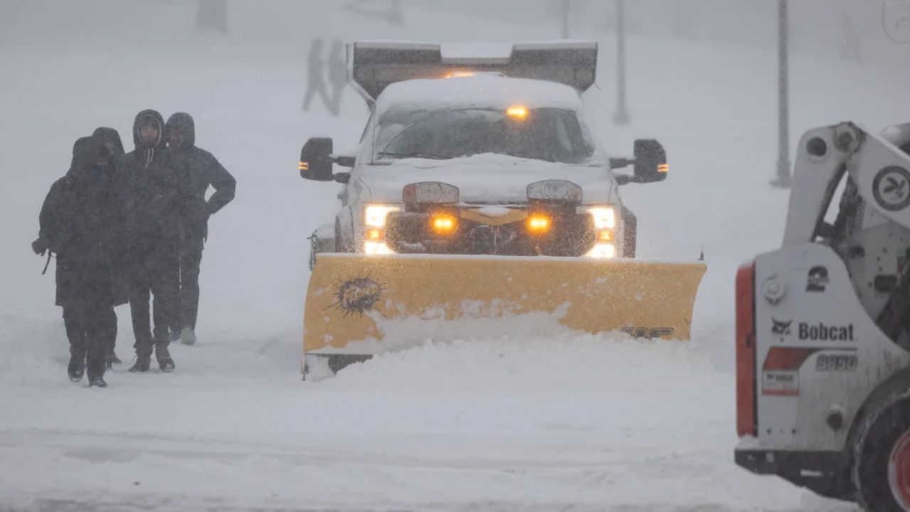
Officials are urging residents to stay off the roads unless absolutely necessary.
“Travel could become extremely dangerous during the height of the storm,” officials warned, emphasizing that blowing snow and high winds may make visibility near zero at times.
How Much Snow Could Fall?
Meteorologists predict that parts of southeastern Massachusetts may receive 24 inches or more of snowfall. The Boston area is also expected to see substantial accumulation, though totals may vary depending on the storm’s exact track.
Key projections include:
- Up to 2+ feet of snow in southeastern Massachusetts
- Heavy accumulation across Boston and surrounding suburbs
- Strong wind gusts potentially exceeding 40–50 mph in coastal areas
- Significant drifting snow due to blowing conditions
The combination of intense snowfall and strong winds meets the criteria for blizzard conditions, which require sustained winds or frequent gusts of at least 35 mph and visibility reduced to less than a quarter mile for extended periods.
Storm Impacting the East Coast
The powerful nor’easter is not limited to Massachusetts. The storm system is sweeping across much of the East Coast, bringing heavy snow, dangerous winds, and coastal concerns to multiple states.
In addition to snow accumulation, coastal regions may experience rough surf and minor flooding during high tide cycles. The storm’s expansive reach increases the risk of flight delays, rail disruptions, and highway shutdowns throughout the Northeast corridor.
Massachusetts emergency management officials are closely monitoring conditions and coordinating with local municipalities to prepare for potential power outages and infrastructure strain.
Timeline of the Storm
The storm began intensifying overnight, with snowfall picking up in the early morning hours. Conditions are expected to worsen throughout Monday, with peak intensity likely during the late morning through evening hours.
Heavy snow bands could persist into the overnight period before gradually tapering off. However, strong winds may continue even after snowfall decreases, prolonging hazardous travel conditions.
Road crews have been deployed across major highways and local roads, but rapid snowfall rates may outpace plowing efforts during peak hours.
Public Safety Concerns
Officials are emphasizing safety precautions as the storm develops:
- Avoid non-essential travel during blizzard conditions
- Keep emergency supplies at home, including flashlights and batteries
- Prepare for potential power outages
- Clear snow safely to prevent overexertion
- Check on elderly neighbors and vulnerable residents
Driving during a blizzard significantly increases the risk of accidents due to slick roads and near-zero visibility. Authorities recommend postponing travel until conditions improve and roadways are fully treated.
Context: Second Major Winter Storm
This storm marks the second large snowstorm of the winter season in Massachusetts, raising concerns about cumulative impacts on infrastructure and snow removal resources. Municipal budgets and public works departments are already managing ongoing cleanup efforts from earlier snowfall.
Repeated heavy storms can increase strain on roofs, trees, and utility lines, especially when accompanied by strong winds. Residents are advised to safely remove excess snow buildup from flat surfaces where possible.
Conclusion
Massachusetts is facing a potentially historic winter event as a Blizzard Warning covers the Boston area and southeastern communities. With forecasts calling for more than two feet of snow in some areas and dangerous winds reducing visibility, officials are urging residents to prioritize safety and limit travel.
As the nor’easter tracks across the state, conditions are expected to remain severe throughout Monday before gradually improving.
Stay informed through local weather updates and emergency alerts as the storm unfolds. Share your experiences in the comments below.