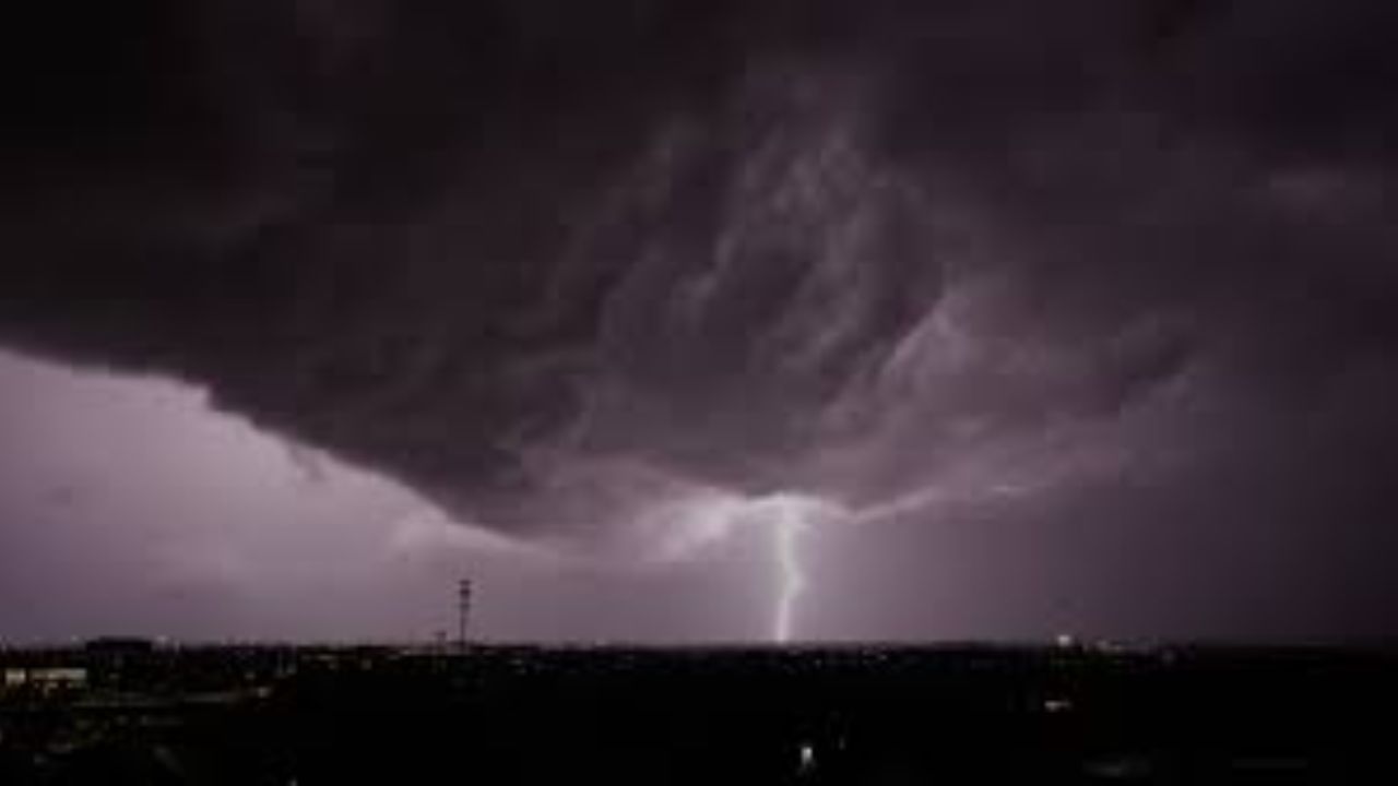
Residents across Oklahoma City should prepare for a potentially active stretch of weather as storm chances increase from Tuesday through Wednesday, bringing risks of hail, damaging winds, and possible tornadoes.
Forecasters indicate a low chance of isolated severe storms late this evening, mainly depending on whether storms can form along a developing dryline. Overnight, warm and humid air will continue to build, with strong south winds and thickening low clouds creating a muggy atmosphere.
Tuesday is expected to feel even warmer and more humid, setting up conditions for a more significant severe weather event. Increasing moisture, a strong storm trigger, and strengthening jet stream winds will combine with a sharpening dryline to support scattered severe thunderstorms.
These storms could produce very large hail, damaging wind gusts, and a low to moderate risk of tornadoes. Areas along the I-35 corridor have the highest chances, although not all locations will see storms.
Storm activity may continue into early Wednesday morning, followed by another possible round of severe weather later in the day. Forecasters note that details are still evolving, but all types of severe weather remain possible.
A brief break is expected Thursday before another strong system arrives Friday evening, potentially bringing yet another round of storms. Residents are advised to stay alert and monitor updates as conditions develop.