If you’re in Tennessee this Sunday, meteorologists have one clear message: don’t go to sleep without a weather plan.
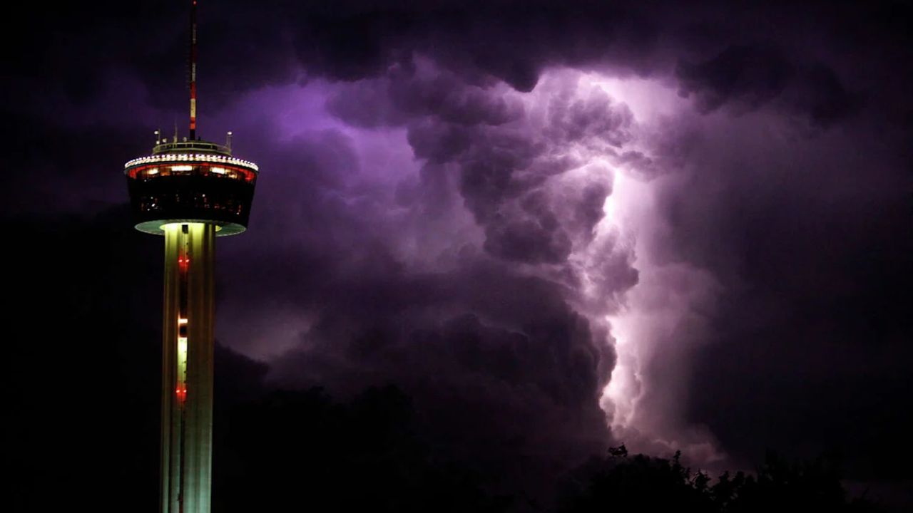
A powerful storm system is targeting the region, and forecasters are warning that “all modes of severe weather” are possible — that means tornadoes, damaging winds, large hail, and flash flooding all in the same system.
Nashville and surrounding Middle Tennessee are in the crosshairs. The National Weather Service has issued a Slight Risk for severe weather across the entire Middle Tennessee region for Sunday. The storm window is expected to be worst from late Sunday evening through the early hours of Monday morning — making this an overnight threat that many people could sleep right through without realizing.
What makes this especially dangerous is that nighttime tornadoes are harder to see and harder to escape. People are being urged to set up weather alerts on their phones, charge their devices, and have multiple ways to be woken up if a warning is issued.
The atmosphere this weekend has been incredibly unstable, with warm, humid air streaming in from the south colliding with the incoming system. That combination is exactly what severe weather feeds on.
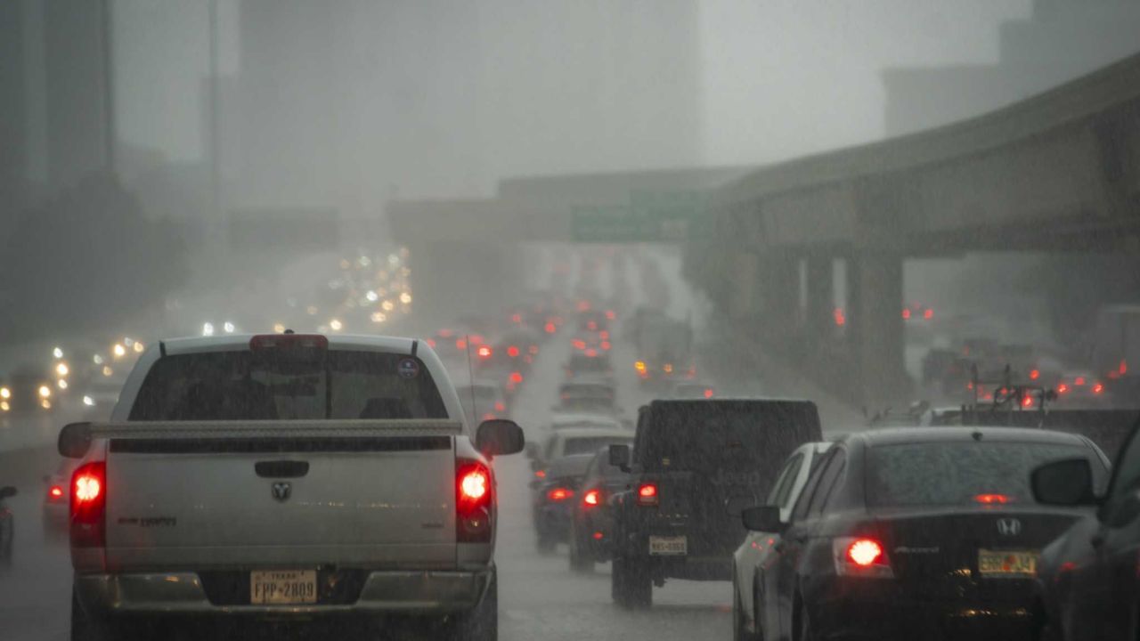
Rainfall totals across western Tennessee and Kentucky could exceed 4 to 6 inches over the holiday weekend — raising serious flash flooding concerns especially for low-lying areas and rivers already running high.
What you should do right now:
- Enable wireless emergency alerts on your phone
- Know where your safe shelter is (interior room, lowest floor)
- Avoid driving through flooded roads — turn around, don’t drown
This is not a storm to ignore. Stay safe, Tennessee.