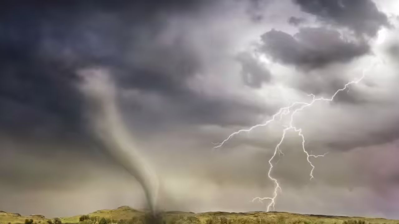
Pittsburgh, PA – Calm and mild conditions across eastern Ohio, western Pennsylvania, and northern West Virginia will shift dramatically late Thursday night as a fast-moving cold front triggers scattered thunderstorms across the region.
Forecasters expect storm development after sunset Thursday, with the most active period likely between 10 p.m. Thursday and 6 a.m. Friday. While storms are expected to remain scattered, a few could strengthen enough to produce damaging wind gusts, brief downpours, and isolated flooding concerns.
Areas Most at Risk
Communities across the Ohio Valley—including Pittsburgh, Wheeling, Zanesville, and Morgantown—fall within a zone where isolated strong storms are possible. Although widespread severe weather is not anticipated, even short-lived storms could create localized impacts, especially overnight when visibility is reduced.
Primary Hazards
Residents should be aware of several potential threats:
- Damaging wind gusts capable of downing tree limbs and causing isolated power outages
- Heavy rainfall that may overwhelm storm drains
- Ponding on roads, particularly in low-lying or poorly drained areas
- Brief lightning bursts accompanying stronger cells
Because the storms are expected overnight, many people may be asleep when warnings are issued. This increases the importance of having multiple ways to receive weather alerts.
Travel Impacts Expected
Drivers along major corridors such as I-70, I-79, and I-76 could encounter reduced visibility, sudden heavy rain, and water-covered roadways. The timing may also affect the early Friday morning commute, particularly in areas where rainfall rates briefly intensify.
Officials urge motorists to avoid driving through flooded roads. Even shallow water can conceal hazards or cause vehicles to stall.
Why This System Matters
This round of storms is being fueled by a cold front interacting with warm, moisture-rich air already in place across the region. While atmospheric instability appears modest, strong wind energy higher in the atmosphere may allow some storms to organize and briefly intensify.
These setups often produce scattered but impactful weather—meaning not every community will see severe conditions, but those that do could experience sudden, short-lived damage.
What to Do Now
- Keep weather alerts enabled on mobile devices
- Secure loose outdoor items before nightfall
- Charge electronic devices in case of isolated outages
- Plan extra travel time Friday morning
Conditions are expected to gradually improve by late Friday morning as the cold front exits eastward. Skies should begin clearing, and winds will shift as cooler air settles into the region heading into the weekend.
Additional updates may be issued if storm intensity trends stronger than currently projected. Residents across the tri-state area are encouraged to stay weather-aware through the overnight hours.