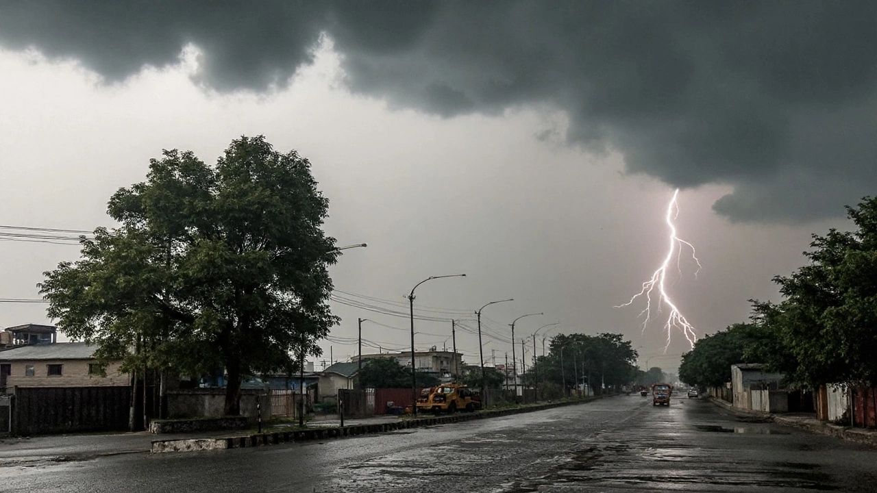
Gray skies over Wilmington are just the beginning. A slow-moving frontal system stretching from the Gulf Coast into the Mid-Atlantic is funneling warm, humid air deep into the Ohio Valley — and forecasters say the region should brace for multiple rounds of heavy showers and thunderstorms through at least Wednesday.
Monday kicks things off with a mostly cloudy day and a chance of isolated thunderstorms, with highs near 77°F. That threat only grows through Tuesday and peaks Wednesday, when widespread rain and lightning are expected to move through Clinton County. Some of those storms could produce gusty winds, frequent lightning strikes, and brief but heavy downpours.
“Isolated heavier downpours may briefly flood low-lying roads and poor-drainage areas — especially near I-71 and U.S. Route 68.”
While widespread severe weather is not in the forecast, a few isolated stronger cells remain possible Tuesday night and into Wednesday morning. Residents in rural areas and low-lying neighborhoods should monitor conditions closely, particularly during afternoon and evening commute hours when visibility can drop quickly on wet pavement.
Temperatures stay stubbornly warm throughout the wet stretch — upper 70s to lower 80s — as Gulf moisture continues streaming north. That combination of heat and humidity is what’s fueling the repeated storm development rather than a single major event.
5-Day Forecast — Wilmington, Ohio
- Monday Mostly cloudy, isolated storms 80%77°F
- Tuesday Showers and thunderstorms79°F
- Wednesday Widespread storms 90%80°F
- Thursday Chance of showers80°F
- Friday Mostly sunny and drier75°F
Relief is in sight — but not until late in the week. Once this active storm track finally shifts eastward, warmer and drier early-summer conditions are expected to return by Friday, with sunshine and a pleasant 75°F high.
Until then, drivers should allow extra travel time during peak storm hours, keep an eye on National Weather Service alerts for Clinton County, and avoid roads known to flood near low-drainage zones along I-71 and U.S. Route 68. The wettest stretch of late May in recent memory may still be ahead.