Wilmington, Delaware: Northern Delaware is starting the day on a chilly and damp note, with early morning temperatures hovering around 35°F. Shaded pavement, bridges, and overpasses are seeing slick patches, especially along major corridors like I-95 and Route 202. Drivers navigating elevated roadways should remain alert through mid-morning as surface temperatures slowly climb.
While skies remain mostly clear, the combination of overnight moisture and near-freezing air has created isolated icy spots. Main roads are gradually improving as sunlight spreads across the region, but untreated side streets and ramps may stay slippery a little longer. Commuters traveling through downtown Wilmington, Newark, and New Castle should allow extra stopping distance until late morning conditions fully stabilize.
Gradual Warmup Through Midweek
A steady warming trend begins today, with afternoon highs climbing toward 50°F under bright sunshine. The cold start fades quickly as dry air settles in. By Wednesday, partly sunny skies push temperatures into the mid-50s, offering comfortable travel and outdoor conditions across northern Delaware and neighboring Pennsylvania communities.
Thursday brings the most dramatic shift. Temperatures are expected to surge close to 70°F, delivering a brief taste of spring across the region. Light winds and filtered sunshine will make it feel noticeably milder compared to the start of the week. Outdoor plans, errands, and evening activities should benefit from the warmth before conditions change again overnight.
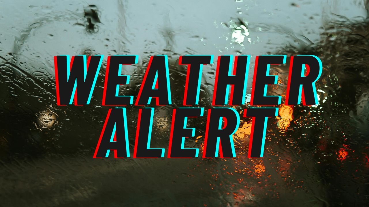
Rain Returns Late Thursday
Clouds increase Thursday evening as moisture builds ahead of an approaching system. Rain chances rise to around 60% overnight into Friday morning. Showers may become steady at times, leading to wet pavement and slower travel during both the late-night and early Friday commute.
Major highways including I-95, I-295, and Route 1 could experience reduced visibility and heavier traffic flow due to rain-soaked roads. Drivers should prepare for longer travel times, especially during peak morning hours Friday.
Friday afternoon remains unsettled with lingering rain and highs near 60°F. While temperatures stay relatively mild during the day, a sharp cooldown follows after sunset.
Refreezing Risk Friday Night
Colder air returns quickly Friday night as temperatures drop to around 29°F. Any remaining moisture on untreated roads, sidewalks, and parking lots may refreeze overnight into early Saturday. Black ice could develop in low-lying or shaded areas, particularly on bridges and elevated structures.
Early Saturday travelers should remain cautious until surfaces fully dry.
Weekend Improvement and Next Week Outlook
The weekend trends calmer and brighter. Saturday brings sunshine with highs in the mid-40s. By Sunday, temperatures rebound into the mid-50s under mostly sunny skies, continuing a gradual warming pattern into early next week.
Residents across Wilmington and surrounding communities can expect a mix of winter chill, spring warmth, and brief rainfall over the next several days. Morning drivers should remain mindful of icy patches today, and later this week, plan ahead for wet commutes followed by a potential overnight refreeze.
Five-Day Outlook for Wilmington, Delaware
Wednesday: Partly sunny, high near 56°F
Thursday: Partly sunny, high near 70°F
Friday: Rain likely, high near 60°F
Saturday: Sunny, high near 46°F
Sunday: Sunny, high near 54°F
If you’re traveling early today, check bridges and shaded roads for lingering slick spots, and later this week, prepare for wet conditions before temperatures drop again.