Nebraska’s skies over Hastings may look peaceful right now, but forecasters are already watching what could be a disruptive stretch of weather through Wednesday — one that could affect holiday plans, outdoor events, and drivers across central parts of the state.
The National Weather Service says Hastings could hit 88°F today and again on Memorial Day, with south winds gusting between 25 and 30 mph. While that may feel like a summer preview, it’s also setting the stage for storm development.
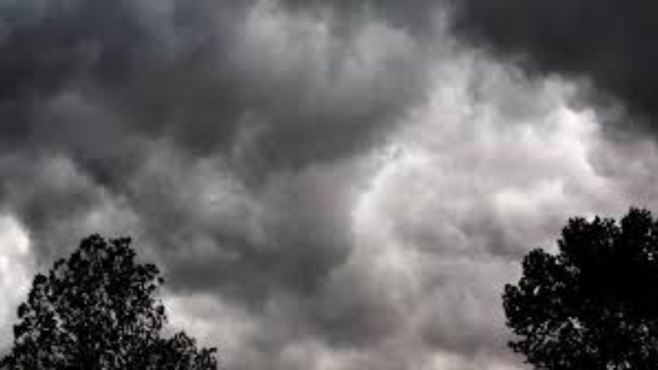
Isolated thunderstorms may develop late this afternoon and again Monday evening. Any stronger storms could bring small hail, brief damaging wind gusts, and lightning.
Forecasters say widespread severe weather is not expected through Monday — but the pattern changes significantly by midweek. Rain chances climb to 50% Wednesday night, with additional showers likely Thursday afternoon as a more active system pushes in from the Rockies.
Drivers along Highway 6 and Highway 281 should be aware that heavier rain bursts may cause sudden drops in visibility and slick pavement conditions, especially during the Thursday afternoon commute window.
Temperatures will remain well above seasonal averages through Tuesday before cooler air arrives — but that transition is precisely what could trigger more organized thunderstorms across Nebraska and into neighboring Kansas by midweek.
For anyone with outdoor Memorial Day plans, forecasters advise keeping them flexible — particularly after sunset, when storms tend to become more active across the Plains.
5-day forecast — Hastings, Nebraska
- Monday Alert Sunny with isolated thunderstorms88°F
- Tuesday Mostly sunny and warm85°F
- Wednesday Storm Chance of showers and thunderstorms82°F
- Thursday Storm Showers likely, thunderstorms possible77°F
- Friday Partly sunny with scattered storms77°F
Once this unsettled stretch clears, forecasters expect warmer early-summer conditions to build back into the central Plains heading into late next week.