OMAHA, Nebraska — A dangerous and multi-day severe weather outbreak has already begun — and forecasters say the worst may still be ahead.
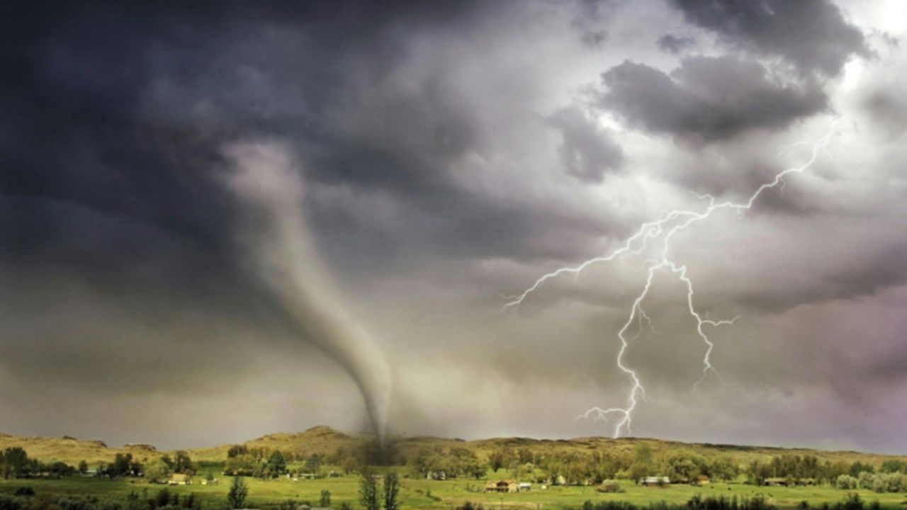
Giant hail, damaging winds, and powerful tornadoes tore through parts of the Midwest on Sunday, with more than 62 million Americans now in the crosshairs over the next 48 hours.
This is not a typical storm system. Officials are treating it as one of the most serious setups of the season.
It Started With a Particularly Dangerous Situation Warning
Sunday’s storms triggered a Particularly Dangerous Situation — or PDS — tornado warning in Nebraska, one of the most severe alerts forecasters can issue.
Multiple tornadoes touched down. Additional twisters were also reported in Iowa.
Tornado watches and warnings were issued across parts of South Dakota, Kansas, Nebraska, and Iowa as storms fired up through the afternoon and evening.
A strong dip in the jet stream locked itself over the western U.S., pushing powerful energy into the middle of the country. A surge of warm moisture from the Gulf of Mexico combined with rising temperatures to fuel the kind of instability that breeds violent storms.
Supercell Thunderstorms Brought Hail the Size of Baseballs
The heart of Sunday’s storm activity stretched from central Minnesota all the way to the Texas panhandle, where a Level 3 out of 5 severe storm threat was in effect.
By afternoon, the biggest concern became long-lived supercell thunderstorms — the most organized and dangerous type of severe storm.
These rotating giants produced hail potentially 3 inches or larger in diameter, roughly the size of a baseball, along with multiple tornadoes. Some of those tornadoes may have reached EF-3 strength, according to the FOX Forecast Center.
Monday Is the Day to Watch Most Closely
If Sunday felt dangerous, Monday is shaping up to be worse.
The severe storm threat for Monday has been upgraded to a rare Level 4 out of 5 — a rating that forecasters issue only when conditions are primed for widespread, intense, and potentially life-threatening weather.
That Level 4 zone covers parts of central and northeastern Kansas stretching up into southeastern Nebraska, where intense tornadoes and monster hail are considered possible.
Severe storms on Monday will stretch over 1,000 miles, reaching from Michigan down to Texas.
The Threat Continues Into Tuesday
This outbreak is not a one-day event.
A Level 2 out of 5 storm threat remains in place for Tuesday, covering a wide area from Oklahoma up through Illinois.
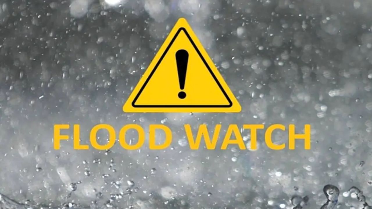
By the time the storms wind down, widespread rainfall of 1 to 2 inches is expected from Minnesota to Texas. Some areas could see locally higher totals of 2 to 3 inches, raising concerns about flash flooding on top of the wind and hail damage.
What You Should Do Right Now
If you are in any of the states under a severe weather watch or warning, now is the time to prepare — not when the sirens go off.
Charge your phone, identify your safest interior room, and stay connected to local alerts through your weather app or local emergency management. Do not wait to see how bad it gets before you act.
Is your area in the path of this outbreak? Tell us what conditions look like where you are in the comments — your update could help someone nearby stay safe.