Philadelphia, Pennsylvania — Residents across parts of Philadelphia, coastal New Jersey, and nearby Delaware are being advised to stay alert this weekend as a shifting weather system brings two separate concerns: evening showers along the coast and a potential overnight freeze in the Poconos.
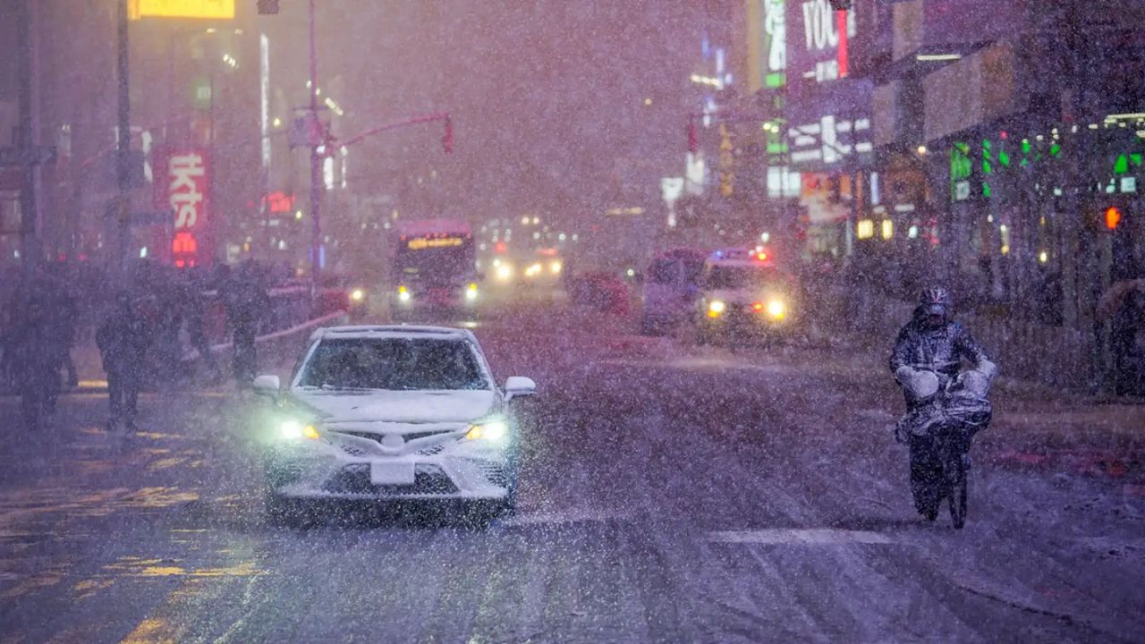
According to the National Weather Service office in Mount Holly, light and spotty showers are expected to develop Saturday afternoon, mainly affecting coastal areas such as Atlantic City, Toms River, Cape May, and Dover. The rain is expected between 3 p.m. and 8 p.m., with the highest impact during the late afternoon and early evening travel window.
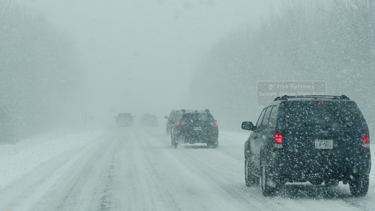
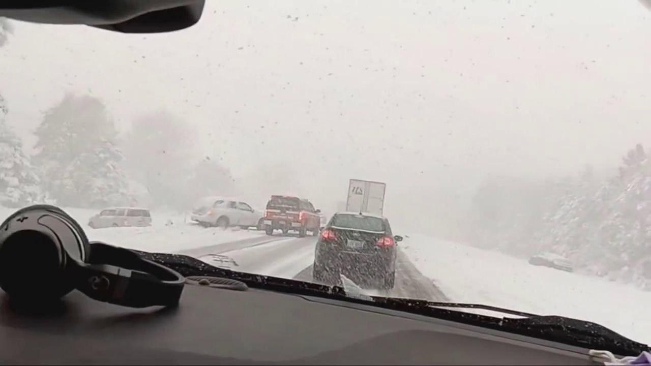
While rainfall amounts will remain light, even brief showers could create slick roads and reduce visibility, especially along busy routes like the Garden State Parkway and other coastal highways. Low-lying areas, intersections, and underpasses may see minor water buildup, increasing the risk for drivers during peak travel hours.
Further inland, conditions will be noticeably different. Areas like Philadelphia and Allentown are expected to remain mostly dry, though skies will stay cloudy as the system moves offshore. The cooler-than-normal temperatures are being driven by a weak disturbance brushing along the coastline, limiting widespread rainfall but still bringing localized disruptions.
As the system moves out Saturday night, attention turns to a more significant concern in northeastern Pennsylvania. Temperatures are expected to drop into the low 30s in the Poconos, including towns like Mount Pocono and Stroudsburg.
These colder conditions could lead to frost formation and even a light freeze overnight through early Sunday morning, potentially damaging plants and creating slippery conditions on untreated roads and bridges. Elevated surfaces such as overpasses are especially at risk for early morning icing.
Officials advise drivers to use caution both Saturday evening and early Sunday. Along the coast, slowing down and maintaining safe distance during rain showers can help reduce accident risks. In the Poconos, early risers should be mindful of possible frost on bridges and shaded roadways.
The most immediate concern remains the coastal travel window between 4 p.m. and 7 p.m. Saturday, when reduced traction and visibility could briefly impact commuters.
Conditions are expected to improve by Sunday morning as skies begin to clear, but colder temperatures will linger before a gradual warm-up early next week.