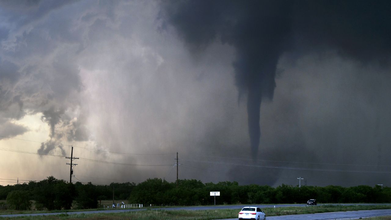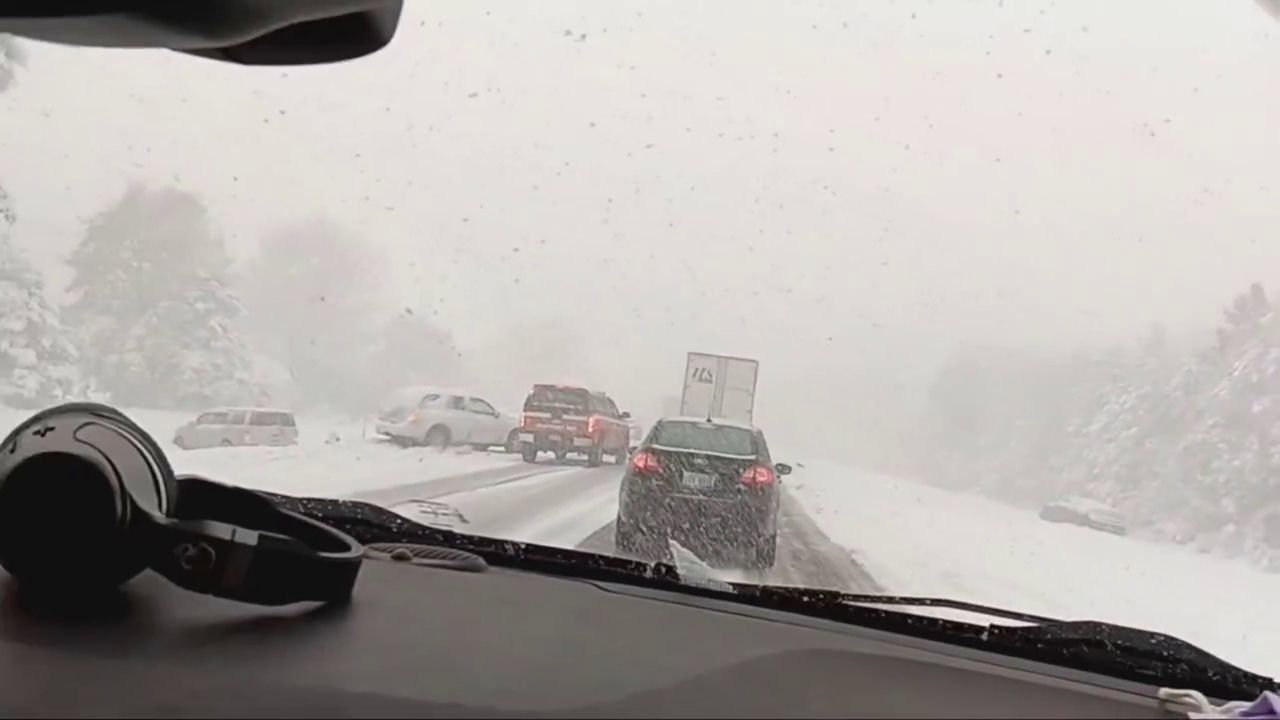
Muskegon, Michigan – Drivers across West Michigan are facing dangerous and rapidly changing travel conditions as lake effect snow intensifies along the Lake Michigan shoreline. Forecasters warn that snowfall, strong winds, and reduced visibility will continue through early Thursday morning, impacting both daily commutes and overnight travel.
A Winter Weather Advisory remains in effect for much of western Lower Michigan, with accumulating snow and gusty winds expected to create slick roads, blowing snow, and whiteout-like conditions in some areas.
Incident Overview
Lake effect snow bands began strengthening early Wednesday as cold air moved across the relatively warm waters of Lake Michigan, setting up conditions favorable for persistent snowfall. According to the National Weather Service in Grand Rapids, several counties along the lakeshore are expected to see significant accumulation before the system weakens Thursday morning.
Snow totals are forecast to range between 2 and 8 inches, with isolated locations potentially receiving more where lake effect bands stall. Strong wind gusts of up to 40 mph will contribute to blowing and drifting snow, making travel especially hazardous on open roads and bridges.
Timeline of Events
The most impactful period began during the Wednesday morning commute, when a brief but intense burst of snow combined with gusty winds reduced visibility over short distances. Conditions remained highly variable throughout the day as lake effect bands shifted inland and back toward the shoreline.
Another round of deteriorating travel conditions is expected during the Wednesday evening commute, particularly on untreated secondary roads. Snow is forecast to continue overnight, gradually tapering off by early Thursday morning, though spotty lake effect snow showers could linger longer in some locations.
Areas Most Affected
The highest impacts are expected across Mason, Oceana, Muskegon, Allegan, and Van Buren counties. Communities including Ludington, Hart, South Haven, Holland, and Muskegon are especially vulnerable to rapid snowfall accumulation.
In Muskegon, drivers may encounter snow-covered roads developing quickly during heavier bursts, while nearby areas could see drastically different conditions just miles away. This sharp variability is typical of lake effect events and increases the risk for motorists unfamiliar with sudden changes in road conditions.
Key Facts at a Glance
- Snow totals: 2 to 8 inches, locally higher in persistent bands
- Wind gusts: Up to 40 mph
- Advisory duration: Early Wednesday through Thursday morning
- Most impacted counties: Mason, Oceana, Muskegon, Allegan, Van Buren
- Greatest risk times: Wednesday morning and evening commutes
Travel Safety and Public Awareness
Officials are urging drivers to use extreme caution if travel is necessary. Lake effect snow can cause visibility to drop suddenly, even on roads that appeared clear moments earlier. Blowing snow may also obscure lane markings and hide icy patches.
Motorists should reduce speeds, increase following distance, and allow extra time to reach destinations. Emergency kits with blankets, food, water, and a charged phone are strongly recommended, especially for those traveling longer distances or through rural areas.
Pedestrians should also be cautious, as sidewalks and crossings may become slick quickly, particularly near the lakeshore where wind-driven snow accumulates faster.
Additional Context on Lake Effect Snow
Lake effect snow occurs when cold air passes over warmer lake waters, picking up moisture that falls as snow once it reaches land. These snow bands can be narrow but intense, leading to sharp contrasts in snowfall totals across neighboring towns. West Michigan is particularly prone to these events during early winter cold snaps.
Conclusion
West Michigan residents should remain alert as lake effect snow continues to impact the region through Thursday morning. With fluctuating visibility, accumulating snow, and strong winds, travel conditions may worsen with little notice, especially near the lakeshore.
Drivers are encouraged to monitor forecasts closely, delay travel if possible, and prioritize safety until conditions improve. Share your experiences in the comments below.