A rare Omega block is trapping the same weather over millions of Americans — and forecasters are already naming the cities at risk.
NOAA Storm Prediction Center Warning
Saturday, May 17 flagged as a Level 2 of 5 severe storm threat for Wichita, Oklahoma City, and Wichita Falls. Large hail and damaging winds are the primary dangers.
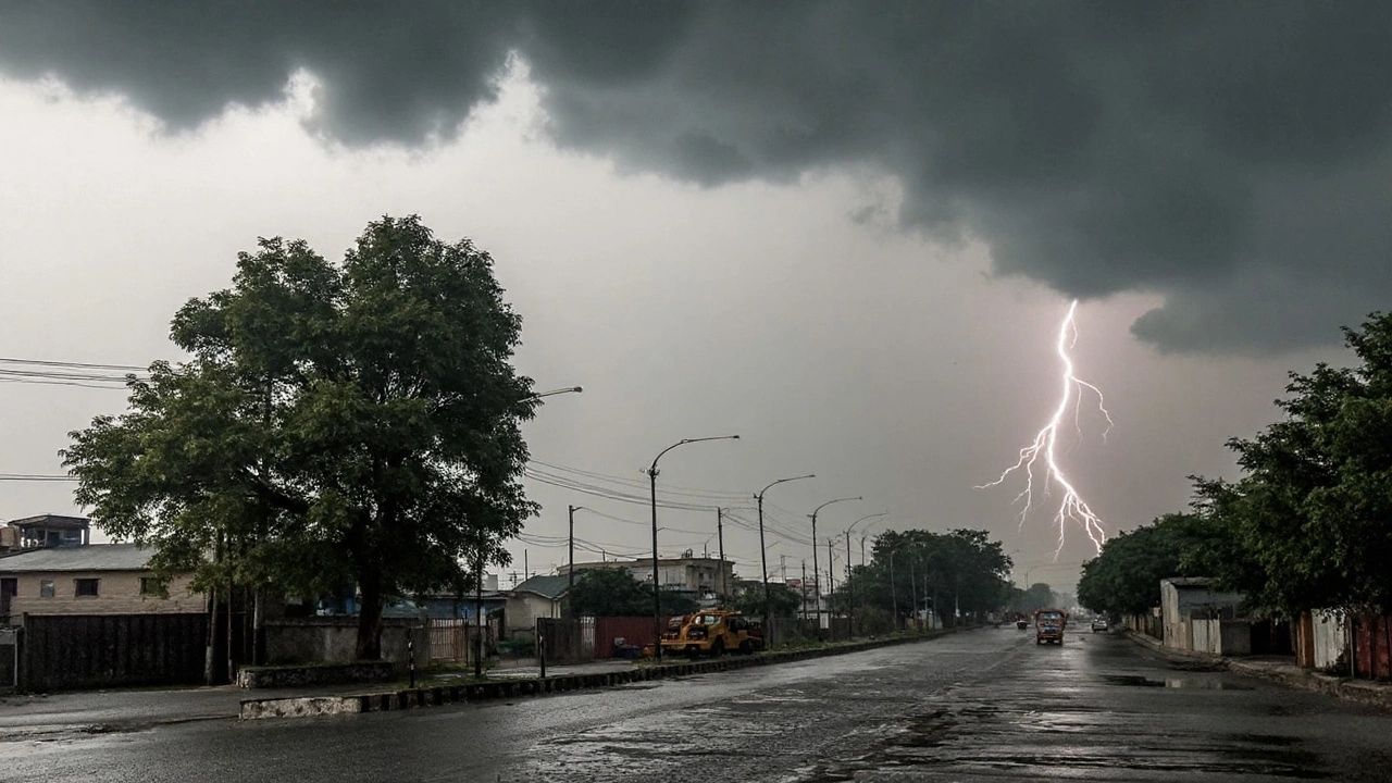
If it feels like the weather across the country has been stuck in a rut lately, that’s because it has — literally. A rare atmospheric phenomenon called an Omega block is locking different weather patterns in place across the U.S., and for the Southern Plains and Midwest, that means severe storms are on the way.
The pattern gets its name because the upper-level air flow resembles the Greek letter omega (Ω). A ridge of high pressure sits trapped in the center, with storm-driving energy curling around it on both sides — and it’s not moving anytime soon.
“The ‘storm corridor’ is effectively reopening as the high pressure retreats and a more active jet stream moves in.”
As that central ridge of high pressure weakens, compact storm systems will start spinning up in the Rockies and push east into the Plains. At the same time, warm, moisture-laden air from the Gulf will surge northward — colliding with those Pacific-born storm systems in exactly the kind of atmospheric collision that produces severe weather.
The early part of the week may feel deceptively calm. But by the weekend, forecasters warn the situation changes quickly.
Key facts to know
- Saturday is the highest-risk day — NOAA’s Storm Prediction Center has issued a Level 2 of 5 alert
- Cities specifically named: Wichita (KS), Oklahoma City (OK), and Wichita Falls (TX)
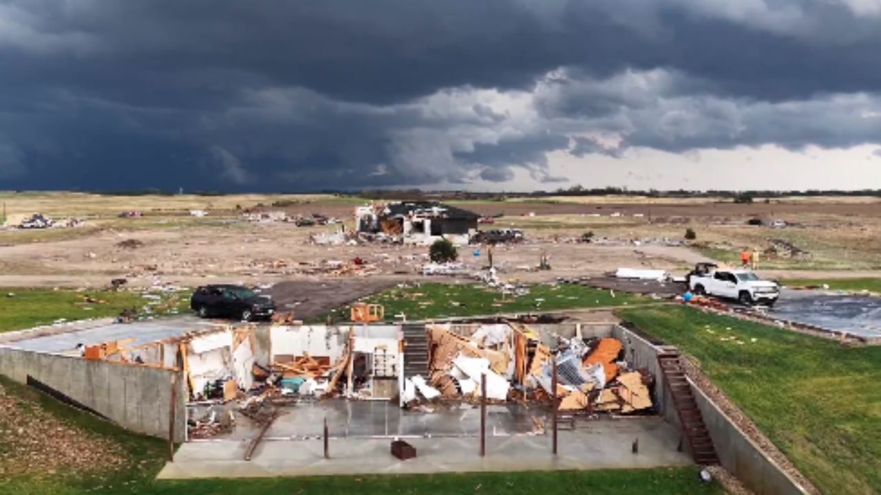
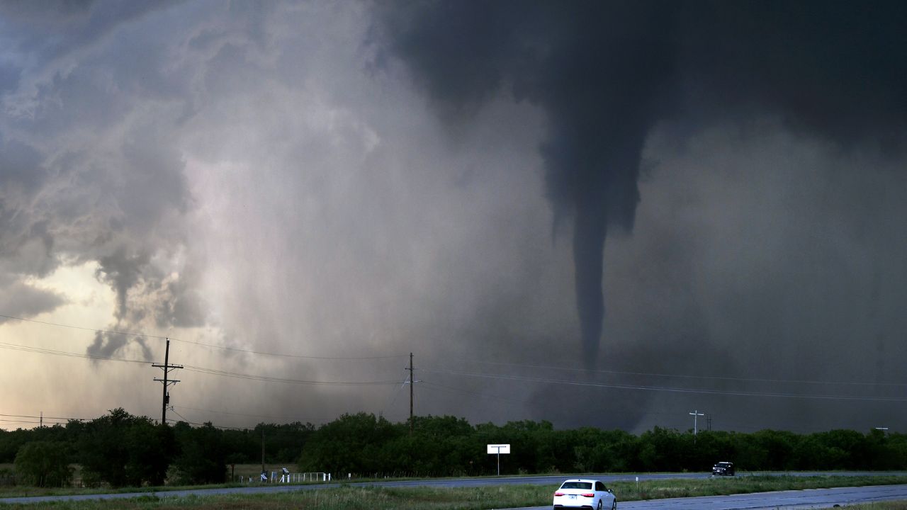
- Primary threats are large hail and damaging winds; isolated tornadoes are also possible
- Above-average rainfall is forecast for the second half of May across the region
- The Omega block pattern is also driving a temperature surge in Central U.S.
Residents across the affected corridor are being urged to prepare now — before the week’s quiet opening acts give way to the weekend’s main event. The FOX Forecast Center also noted that above-average rain is likely to persist through the back half of May, meaning the impacts won’t stop with a single storm system.
- Large hail
- Damaging winds
- Possible tornadoes
- Soaring temps
The bottom line: this week starts quiet but ends with a bang for a large swath of the central United States. Stay tuned to local forecasts and have a severe weather plan ready before Saturday arrives.