Residents across Hawaii are bracing for another round of intense weather as a third storm in just three weeks approaches the islands, raising fresh concerns about flooding, landslides and infrastructure damage.
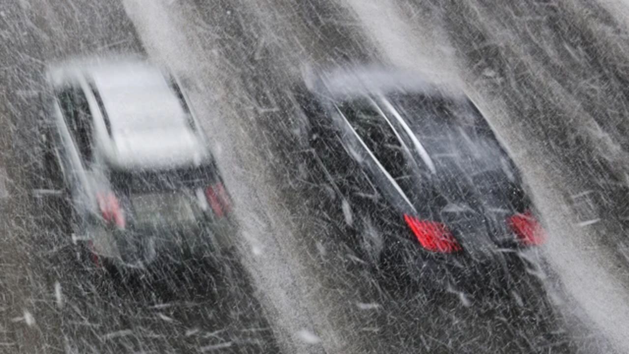
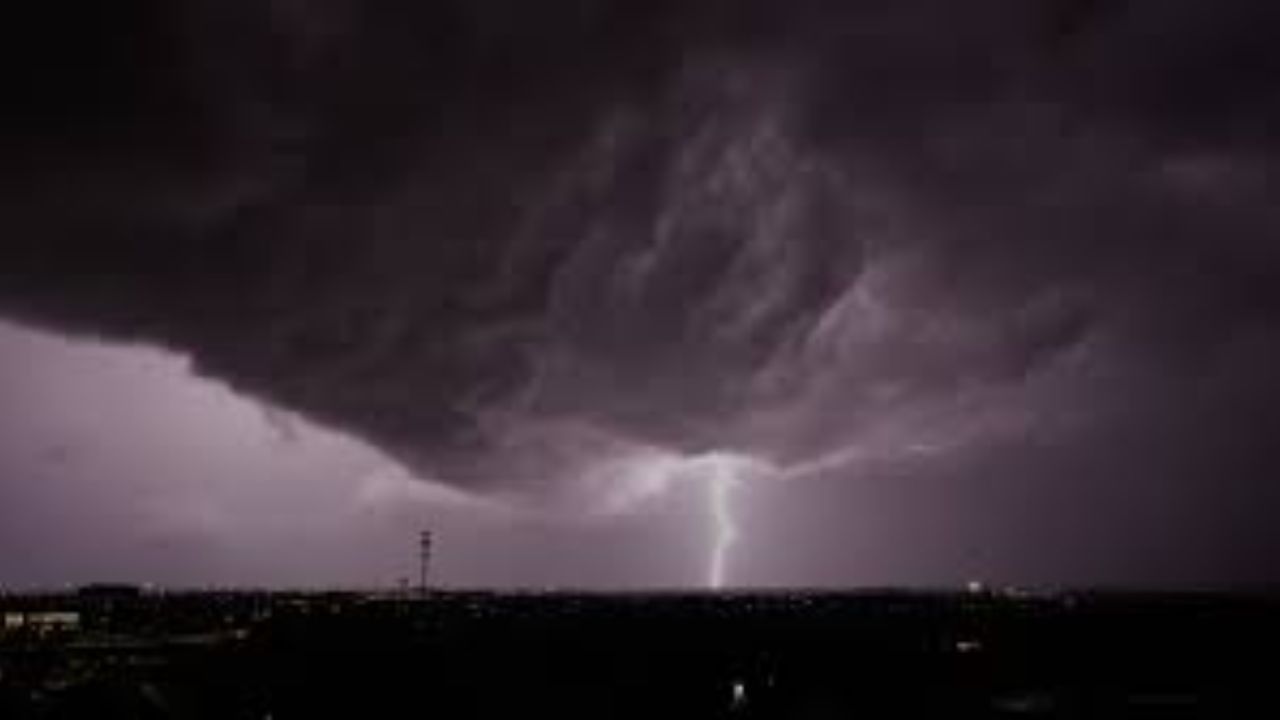
Forecasters say the system is forming west of the islands and will move slowly east, pulling deep tropical moisture into the region. This setup is expected to bring repeated downpours and thunderstorms, even to areas that usually stay dry under steady northeast trade winds.
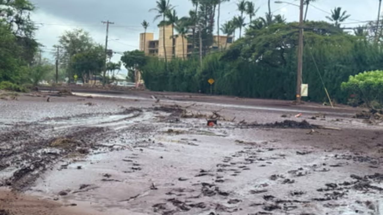
The timing is especially concerning. The ground remains saturated from earlier storms this month, meaning even moderate rainfall could quickly turn dangerous. Streams and reservoirs are already elevated, and additional rain may lead to rapid runoff, increasing the risk of flash flooding and potential levee stress.
Recent storms have already left a significant mark. Earlier in March, parts of Honolulu recorded several inches of rain, with some areas experiencing totals far above seasonal averages. Those back-to-back storms triggered evacuations, road closures and widespread damage, putting communities on edge as another system arrives.
While the incoming storm may also help ease ongoing drought conditions in some regions, the immediate risks remain serious. Officials are urging residents to stay alert, avoid flood-prone areas and prepare for rapidly changing conditions.
Looking ahead, weather patterns suggest the islands may continue to see above-normal rainfall, extending the period of instability and keeping emergency services on heightened watch.