Buffalo, NY – A potentially dangerous mix of heavy rainfall and melting snow is set to impact western and north-central New York, raising concerns of rising rivers, flooded roads, and hazardous travel conditions starting Tuesday morning.
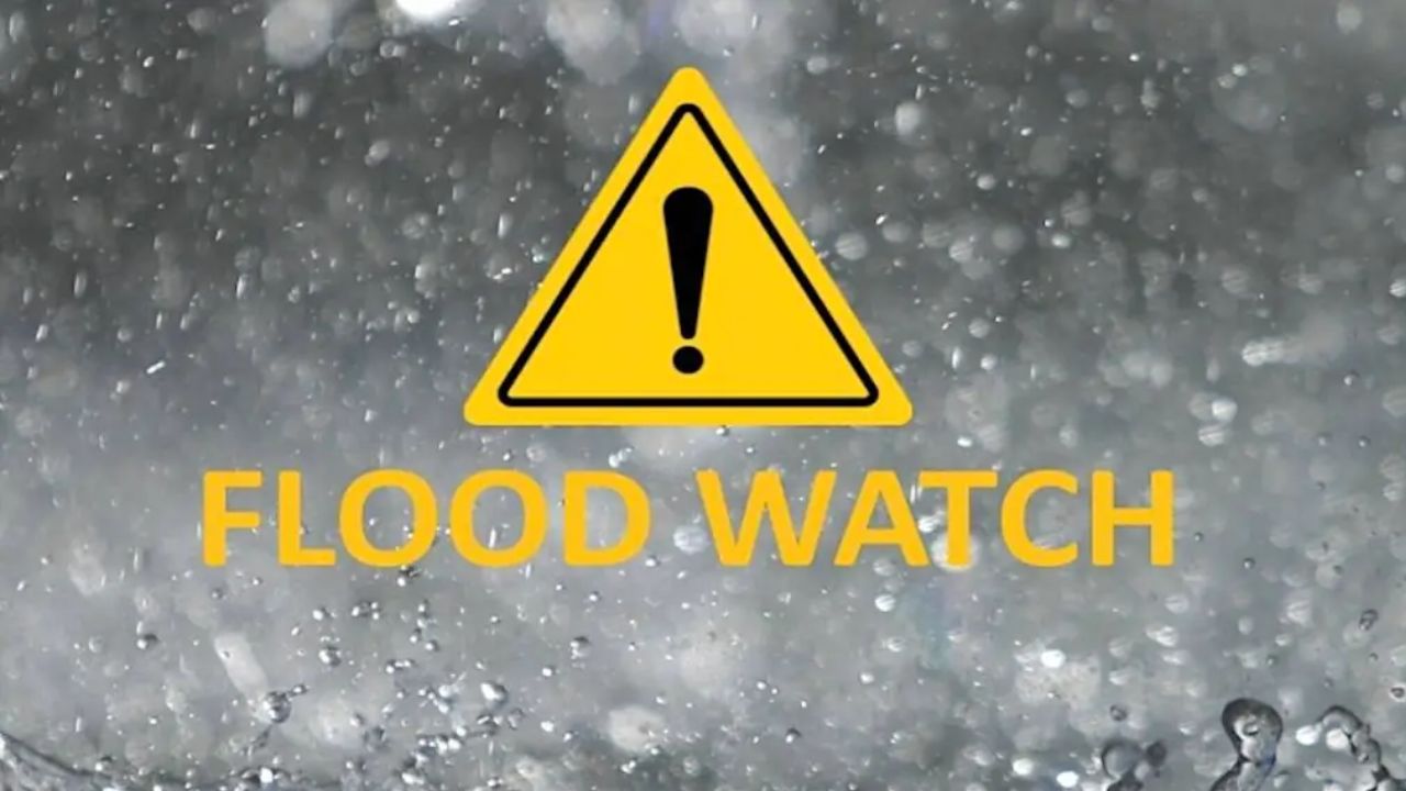
The National Weather Service has issued a Flood Watch from 8:00 AM Tuesday through Wednesday evening, warning that 1 to 2 inches of rain could fall across the region—with some areas seeing even higher totals due to repeated thunderstorms.
What’s Causing the Flood Risk?
This isn’t just a typical rain event.
- Heavy rainfall will fall in multiple rounds
- Existing snowpack is melting, adding extra water into rivers and streams
- Thunderstorms may “train” over the same areas, increasing rainfall totals quickly
The combination means water levels could rise faster than usual, overwhelming drainage systems and waterways.
High-Risk Areas to Watch
The most serious concerns are in:
- Tug Hill region
- Western Adirondack drainage areas
- River systems like the Black River near Watertown
These locations are especially vulnerable because snowmelt will significantly increase runoff, pushing rivers toward or even beyond bankfull levels—a point where flooding becomes much more likely.
Cities That Could See Flooding
Urban areas are not safe from impact. Cities including:
- Buffalo
- Rochester
- Niagara Falls
- Jamestown
may experience localized flooding, especially in:
- Poor drainage zones
- Underpasses
- Low-lying streets
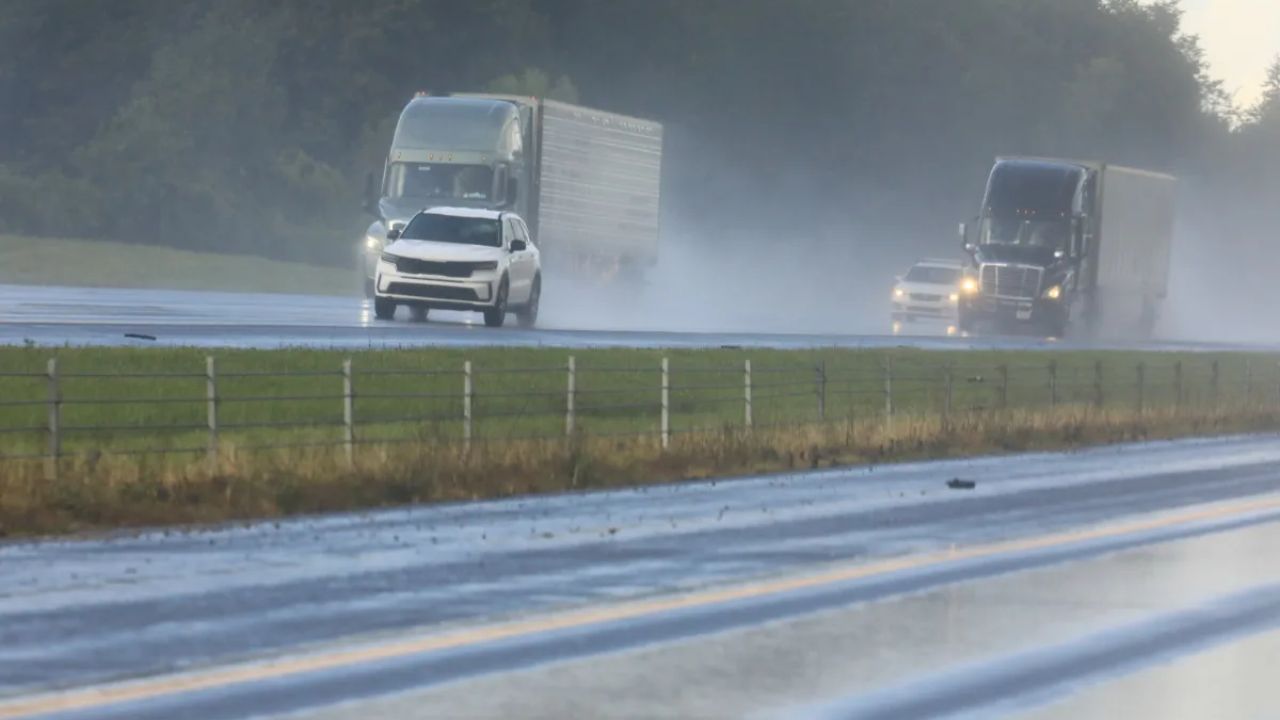
During heavy downpours, water can accumulate quickly, making roads unsafe within minutes.
Travel & Safety Alert
Residents are strongly advised to stay cautious:
- Never drive through flooded roads – even shallow water can be dangerous
- Expect road closures and traffic disruptions
- Keep monitoring weather updates and alerts
- Those in flood-prone areas should be prepared to act quickly
How Long Will the Threat Last?
The flood risk is expected to continue through Wednesday evening, as multiple waves of rain move through the region.
Authorities warn that:
- Additional alerts may be issued
- Conditions could worsen rapidly if rainfall intensifies
- Rivers may continue rising even after rain slows due to delayed runoff
Final Warning
This situation has the potential to turn serious quickly. With heavy rain + melting snow + rising rivers, even areas that don’t usually flood could see water issues.
Stay alert, stay informed, and prioritize safety—especially during peak rainfall hours.