WASHINGTON, D.C. — If you have plans to drive or be outdoors this afternoon, you need to see this first.
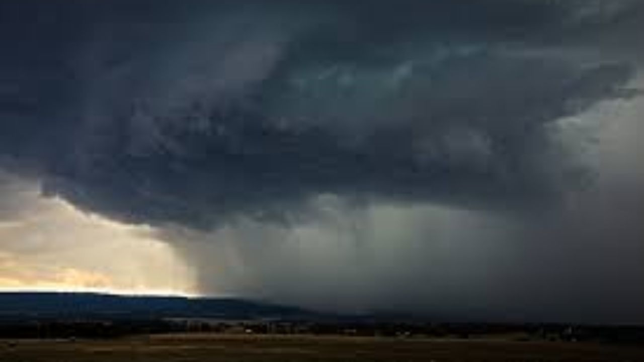
A powerful cold front is sweeping through the Mid-Atlantic on Wednesday, and forecasters are warning that conditions could turn dangerous before the day is out.
The National Weather Service Baltimore/Washington office says storms developing this afternoon and evening have the potential to become strong to severe across a wide area — including Maryland, Washington, D.C., northern Virginia, and eastern West Virginia.
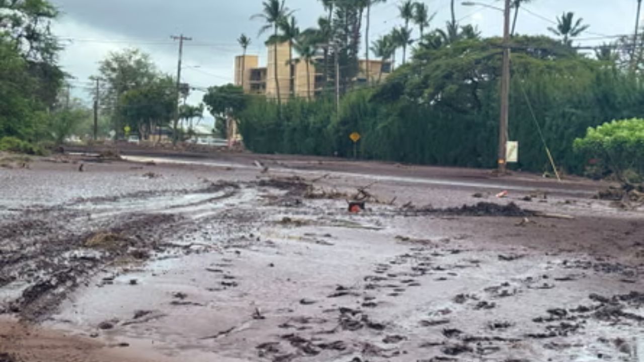
Flood Watches Are Already in Effect
Flood Watches are currently active through Wednesday afternoon for portions of western Maryland and eastern West Virginia.
The ground in these areas is already saturated from recent rainfall. That means even a fast-moving storm can quickly lead to flash flooding and rising waterways in low-lying and flood-prone areas.
If you live or work near streams, creeks, or areas that flood easily, pay close attention to updates throughout the day.
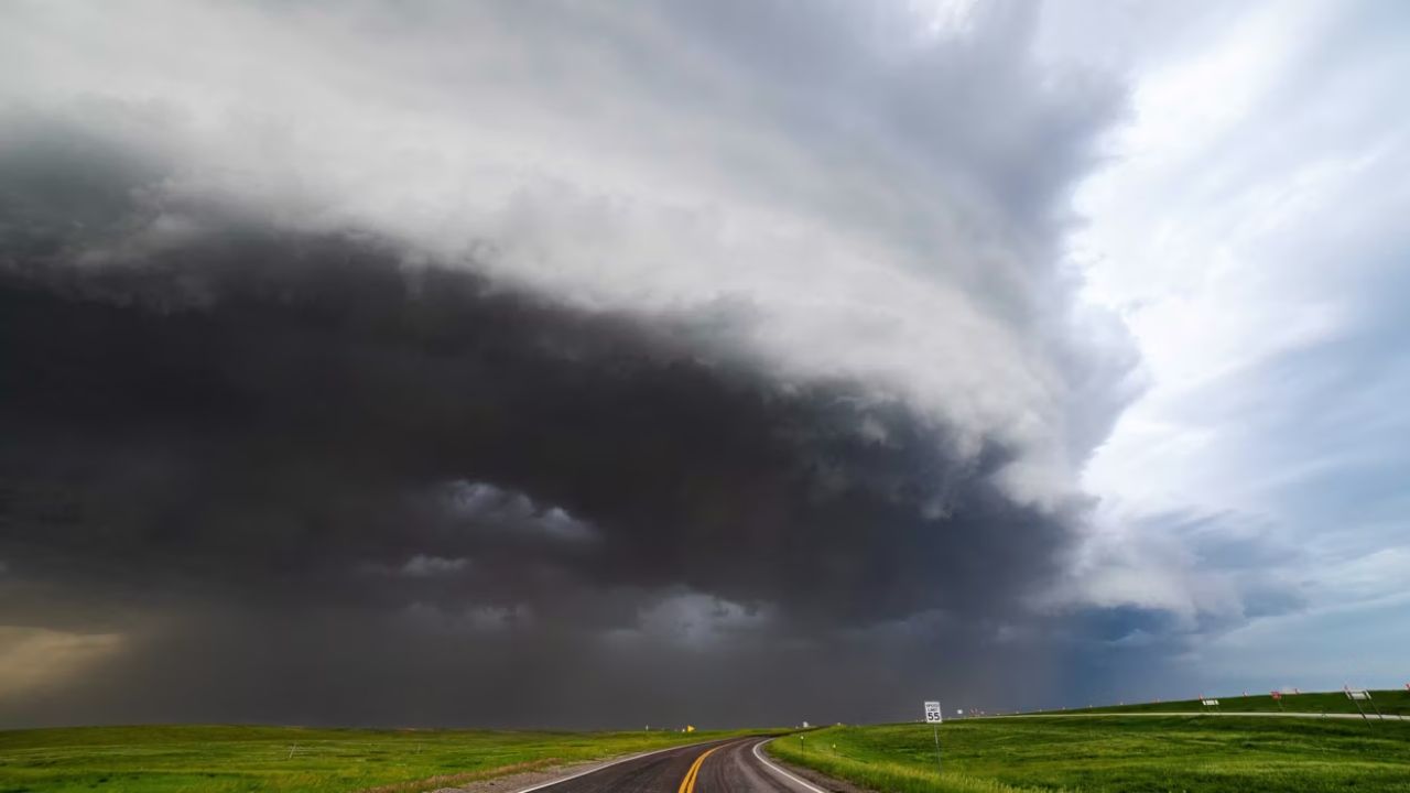
Damaging Winds Expected During the Evening Commute
Beyond flooding, damaging wind gusts are also possible with the stronger storms — and timing is a major concern.
Meteorologists say the worst conditions could arrive during the afternoon and evening commute hours, when roads are already busy.
Drivers could face reduced visibility, standing water on roadways, and rapidly changing conditions with little warning.
The message from forecasters is simple: do not drive through flooded roadways. Turn around, don’t drown.
Cities in the Direct Path
Multiple major cities are expected to see heavy rain and thunderstorms as the front sweeps eastward, including:
- Baltimore
- Washington, D.C. metro area
- Frederick
- Hagerstown
- Martinsburg
- Cumberland
If you are in or near any of these areas, plan accordingly before the afternoon arrives.
When Will It Clear?
The good news is that relief is coming — just not until tonight.
Conditions are expected to improve late Wednesday night, with cooler and drier air moving in by Thursday. By Friday and Saturday, forecasters are calling for sunny skies and temperatures back in the 70s.
But between now and then, the afternoon and evening hours carry the highest risk.
Residents are urged to check updated forecasts regularly, stay off flooded roads, and have a plan if severe weather develops while you are away from home.
Are you seeing storms or flooding in your area right now? Share what’s happening where you are in the comments below.