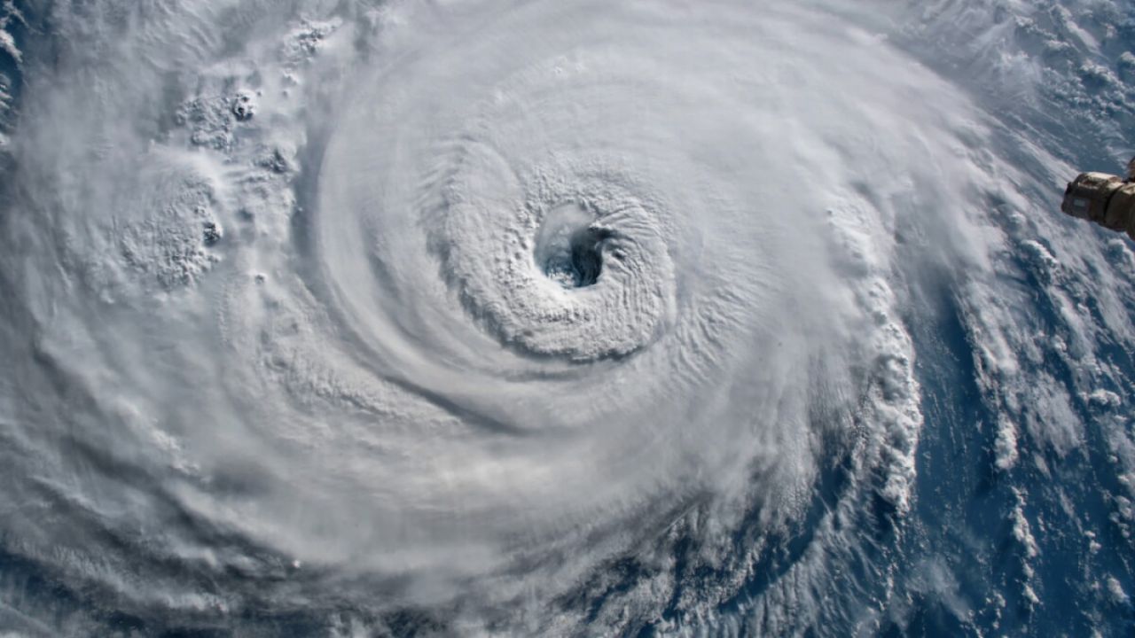
A non-tropical storm system packed with deep tropical moisture is heading for the Gulf Coast. No hurricane — but officials say the flooding risk is very real.
A storm system churning in the Gulf of Mexico is set to batter coastlines from Louisiana to Alabama this weekend — and while forecasters confirm it will not become a hurricane, they warn that shouldn’t make residents complacent.
The system carries deep tropical moisture fed by Gulf waters running 3 degrees above average. Strong wind shear is preventing it from organizing into a tropical depression, but the heavy rainfall and coastal flooding it brings are a serious concern regardless.
New Orleans, Biloxi, and Gulfport metro areas face the highest risk, with storms expected to peak on Saturday. If multiple cells track over the same area, localized rainfall could exceed 3 inches — enough to flood streets in areas that have already seen weeks of soaking rain.
Key threats to know
- Torrential downpours
Scattered storms can dump over 2 inches per hour. Stacked storms may total 3+ inches in one location.
- Coastal flooding
Coastal Flood Advisories issued from SE Louisiana to Mississippi. Parks and low-lying lots expected to flood at high tide.
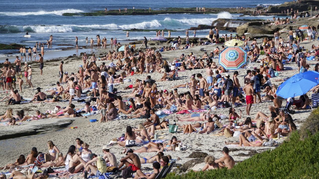
- Dangerous surf & rip currents
East-southeast winds gusting to 40 mph are piling water against the coast. Rough surf and strong rip currents expected all weekend.
- Beach closures
Orange Beach, Alabama closed to swimmers Thursday after life-threatening rip currents were detected along the coast.
By Sunday, the moisture will push inland and merge with an upper-level disturbance from the Four Corners region. The combined system is expected to trigger widespread thunderstorms across eastern Kansas, Oklahoma, Missouri, and northwestern Arkansas Sunday afternoon.
Much of the Southeast is already saturated from multiple rounds of storms over the past two weeks, raising the risk of flash flooding even from moderate rainfall totals.