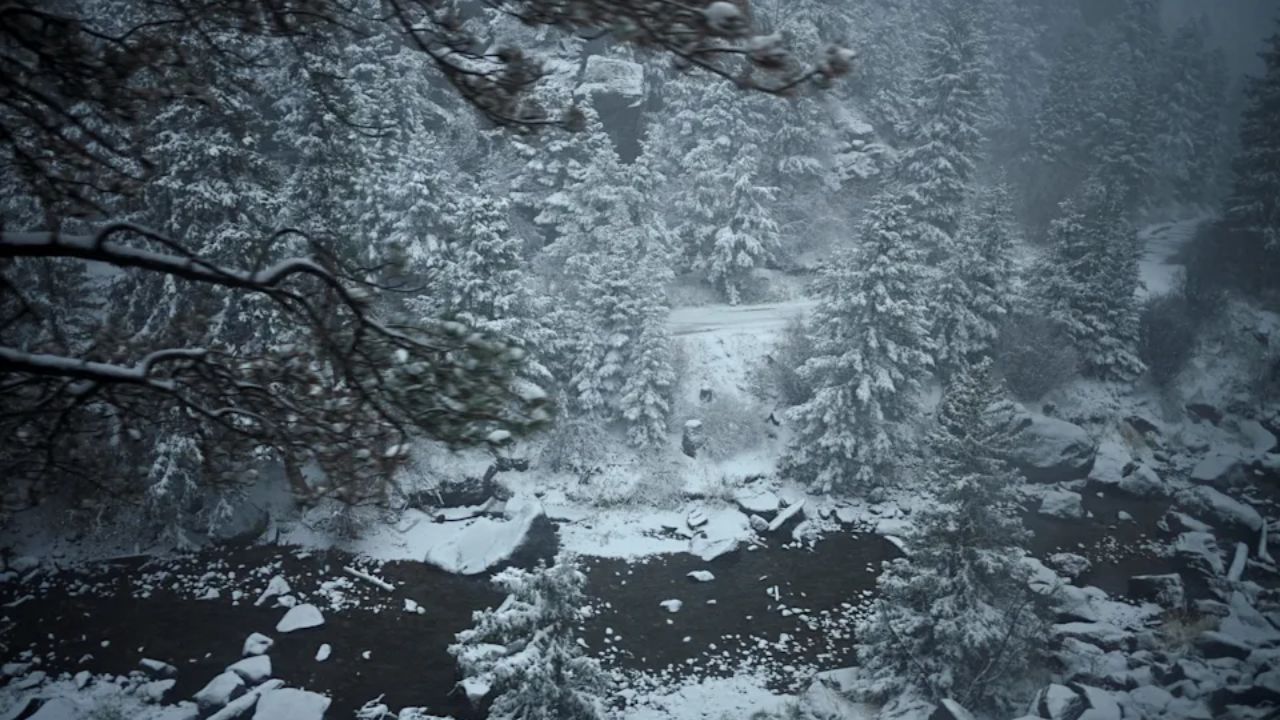
Omaha, Nebraska – A significant winter storm is set to impact eastern Nebraska and southwest Iowa today, bringing heavy snowfall and dangerous travel conditions through early Friday morning. What begins as light scattered flakes will quickly intensify into steady snowfall across Omaha and Council Bluffs.
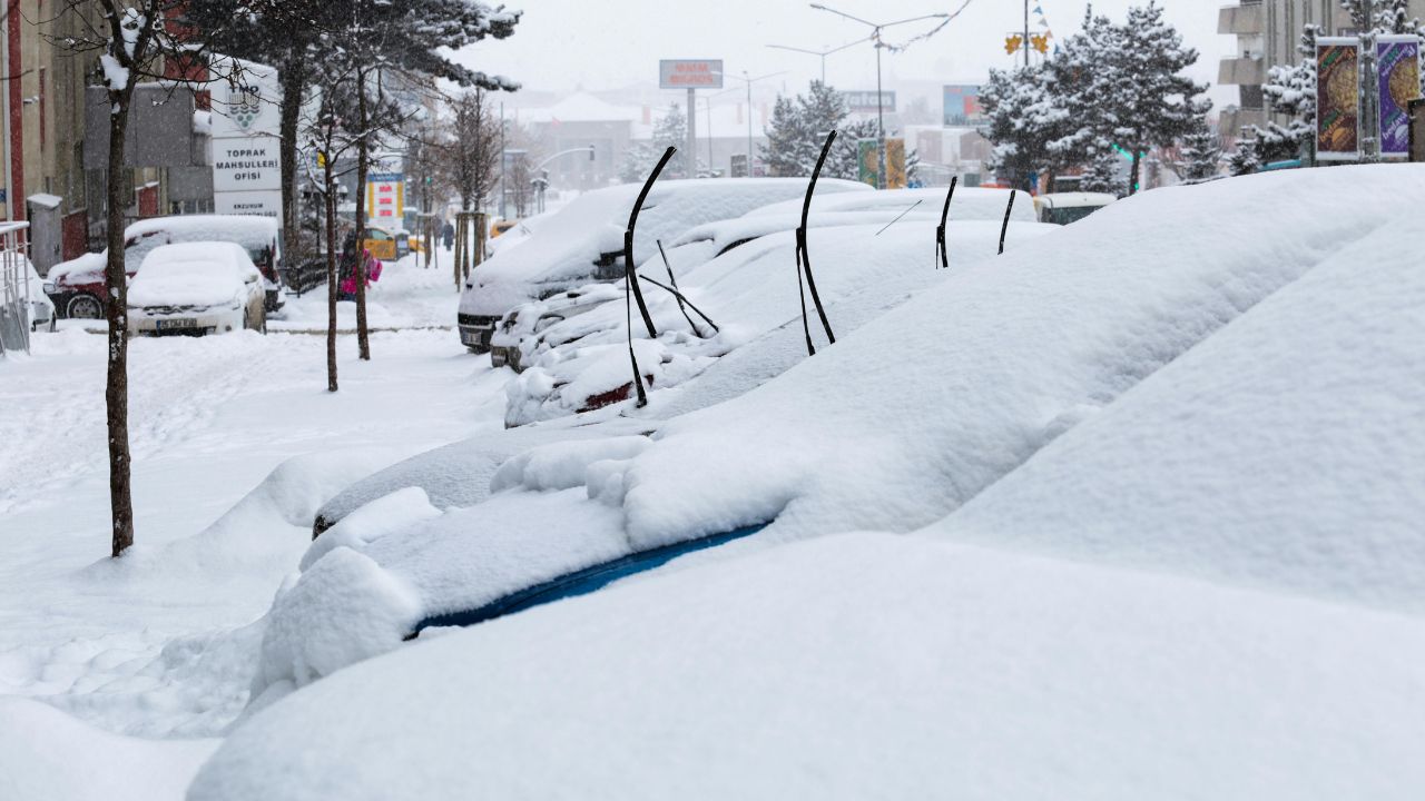
Forecasters warn that roads appearing dry this morning will rapidly deteriorate by late afternoon. A Winter Storm Warning remains in effect from noon through 6 a.m. Friday, with total snow accumulations expected between 4 and 6 inches across the region.
Incident Overview
Snow is forecast to develop mainly after 3 p.m. Thursday, becoming heavier at times through the evening. Temperatures are hovering near 25 degrees this morning at Eppley Airfield, creating conditions favorable for accumulation as soon as precipitation begins.
As the system strengthens, snowfall rates may increase quickly, leading to reduced visibility and slick roadways. Officials caution that travel will become increasingly hazardous as the evening commute approaches.
Timeline of the Storm
• Morning: Cold temperatures near 25°F, increasing cloud cover
• After 3 p.m.: Snow develops and intensifies
• Evening: Heaviest snowfall expected, visibility reduced
• Overnight: Snow continues before tapering toward dawn
• Early Friday: Lingering slick and icy conditions for commuters
Overnight lows are expected to drop to near 20 degrees, allowing untreated surfaces to refreeze and increasing the likelihood of icy patches by Friday morning.
Impact on I-80 and I-29 Travel
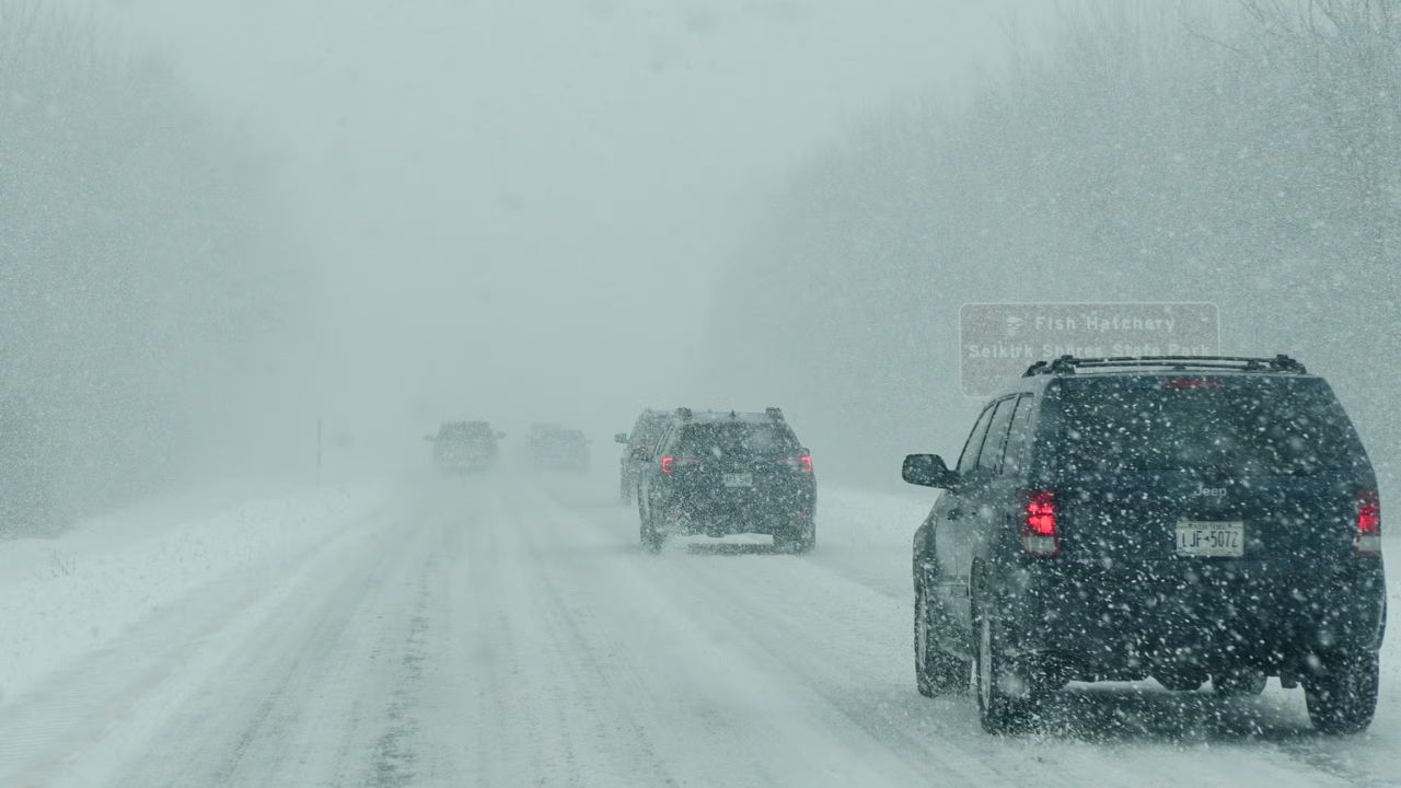
Winds from the north will strengthen throughout the day, with gusts reaching up to 28 mph. These gusts will blow snow across major highways including Interstate 80 and Interstate 29, leading to drifting snow and sharply reduced visibility.
Drivers traveling between Omaha, NE and Council Bluffs, IA should anticipate snow-covered lanes, slick bridges, and sudden whiteout conditions in open areas. Evening travel is expected to be especially difficult.
Officials recommend completing errands before mid-afternoon and avoiding nonessential travel once heavy snowfall begins.
Details From Officials
Emergency management authorities emphasize that even moderate snowfall can quickly overwhelm roadways when combined with gusty winds and freezing temperatures.
“Conditions may deteriorate quickly after sunset. Travel will become very difficult by late afternoon and especially this evening,” weather officials cautioned.
Snowplow crews are expected to operate through the night and into Friday, but road clearing efforts may be slowed by persistent snowfall and drifting.
Key Facts
• Winter Storm Warning: Noon Thursday to 6 a.m. Friday
• Expected Snowfall: 4–6 inches
• Wind Gusts: Up to 28 mph
• Morning Temperature: Around 25°F
• Overnight Low: Near 20°F
• Major Impact Areas: Omaha, NE and Council Bluffs, IA
Friday Morning Commute Concerns
Although snowfall is expected to taper before sunrise Friday, cold temperatures will keep surfaces icy. Bridges and overpasses will freeze first, creating hidden hazards.
Friday’s high will reach near 31 degrees under mostly sunny skies, but some roads may remain snow-covered in shaded areas. Friday night temperatures are forecast to dip to 17 degrees, potentially causing refreezing.
Extended Five-Day Outlook
The weekend will remain cold but bright:
• Friday: Mostly sunny, high near 31
• Saturday: Mostly sunny, high near 34
• Sunday: Sunny, high near 32
• Monday: Sunny, high near 32
• Tuesday: Partly sunny, high near 58
By early next week, a warming trend will push temperatures into the 30s and eventually into the upper 50s by midweek, signaling a noticeable shift toward early spring conditions across the Plains.
Safety and Preparedness Tips
Winter storms can create rapidly changing road conditions. Drivers are advised to:
• Reduce speed and increase following distance
• Carry emergency supplies such as blankets and flashlights
• Keep gas tanks at least half full
• Check local road condition updates before traveling
Pedestrians should also use caution on sidewalks and driveways, as compacted snow can quickly turn to ice overnight.
Conclusion
Eastern Nebraska and southwest Iowa are bracing for a measurable winter storm that could significantly impact travel through early Friday. With 4 to 6 inches of snowfall expected and gusty winds reducing visibility, residents are urged to plan ahead and avoid unnecessary travel during peak storm hours.
Stay informed, allow extra time for commutes, and prepare for icy conditions into Friday morning.
If you are in the affected area, take precautions and adjust travel plans accordingly. Share your experiences in the comments below.