Paducah, Kentucky – A combination of strong winds, warm temperatures, and extremely dry air is creating dangerous fire conditions across western Kentucky today. Residents are being urged to stay alert as even a small spark could quickly turn into a fast-spreading fire.
Strong Winds + Dry Air = High Fire Risk
Wind speeds are expected to stay between 25 to 35 mph, with even stronger gusts possible throughout Tuesday. These conditions, combined with low humidity and dry vegetation, significantly increase the chances of wildfires spreading rapidly.
Temperatures will rise into the low to mid-80s, further drying out grass, leaves, and open land across areas like Paducah, Mayfield, Murray, and Hopkinsville.
What this means:
- Fires can start easily and spread quickly
- Even small flames can become uncontrollable
- Outdoor burning is especially dangerous today
Safety Warning for Residents
Authorities are strongly advising people to take precautions:
- Avoid any outdoor burning or open flames
- Dispose of cigarettes properly and safely
- Secure loose outdoor items due to strong winds
- Stay alert in dry grassy or wooded areas
These simple steps can help prevent serious fire incidents during peak risk hours.
Travel Impact: Dangerous Crosswinds
Drivers, especially those operating trucks, buses, and other high-profile vehicles, should be cautious on open roads like I-24 and U.S. 60.
Strong crosswinds may:
- Affect vehicle stability
- Make steering difficult
- Increase accident risk
Slowing down and maintaining control is key while traveling today.
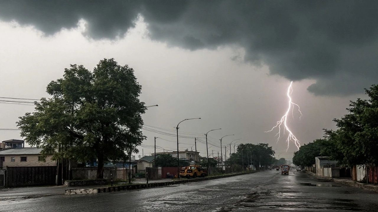
Relief on the Way: Rain & Storms Midweek
Good news is ahead—weather conditions are expected to improve starting Wednesday.
Rain chances will increase and continue through Saturday, with expected rainfall between 1 to 2 inches. Along with the rain, scattered thunderstorms may develop, which could briefly impact travel and outdoor activities.
This incoming moisture will:
- Reduce fire risk
- Improve air conditions
- Help restore dry land
What to Expect Next
- Tuesday: Peak fire danger with strong winds and heat
- Wednesday – Saturday: Rain and thunderstorms return
- By Midweek: Conditions gradually become safer
Final Advisory
The fire threat will remain elevated through Tuesday evening, so staying cautious is essential. Avoid risky activities, stay informed, and prepare for changing weather as storms move back into the region.
Stay safe, stay alert, and keep an eye on the sky.