Residents in Tulsa should stay alert this afternoon as changing weather conditions bring an increasing chance of storms, lightning, and gusty winds.
The day may start calm, but rising temperatures near 80°F are creating an unstable atmosphere. This warmth, combined with strong southerly winds between 20–30 mph, is pulling moisture into the region—fuel for developing thunderstorms.
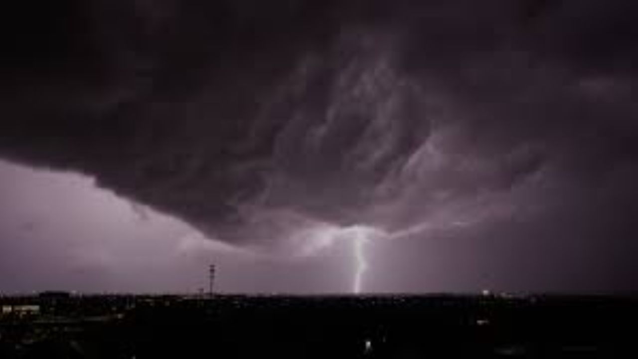
By afternoon, scattered showers and storms are expected to form. Early concerns include lightning and brief heavy downpours, which could quickly reduce visibility and make roads slick, especially along major routes like I-44 and Highway 75.
Storm activity is not expected to fade quickly. Showers and thunderstorms will likely continue into the evening, with additional rounds possible overnight. While the immediate severe risk remains limited, conditions are expected to become more active heading into the weekend.
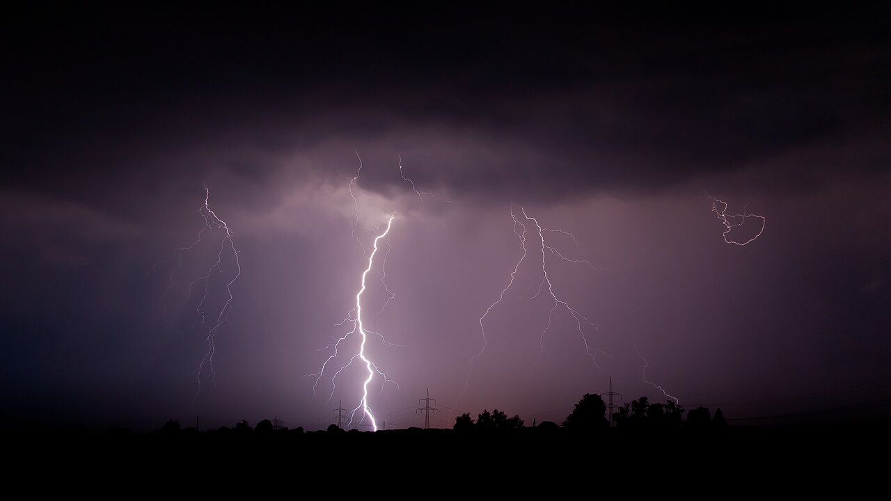
Saturday will bring more scattered storms, some producing gusty winds and small hail. However, Sunday appears to be the most impactful day, with widespread thunderstorms and rain chances near 90%. Heavy rainfall may lead to localized flooding, and stronger storms could bring damaging winds and hail.
According to National Weather Service, a stronger system is organizing across the Plains, increasing the potential for severe weather.
Residents are advised to stay weather-aware, monitor updates, and plan travel carefully as multiple rounds of storms continue into early next week.