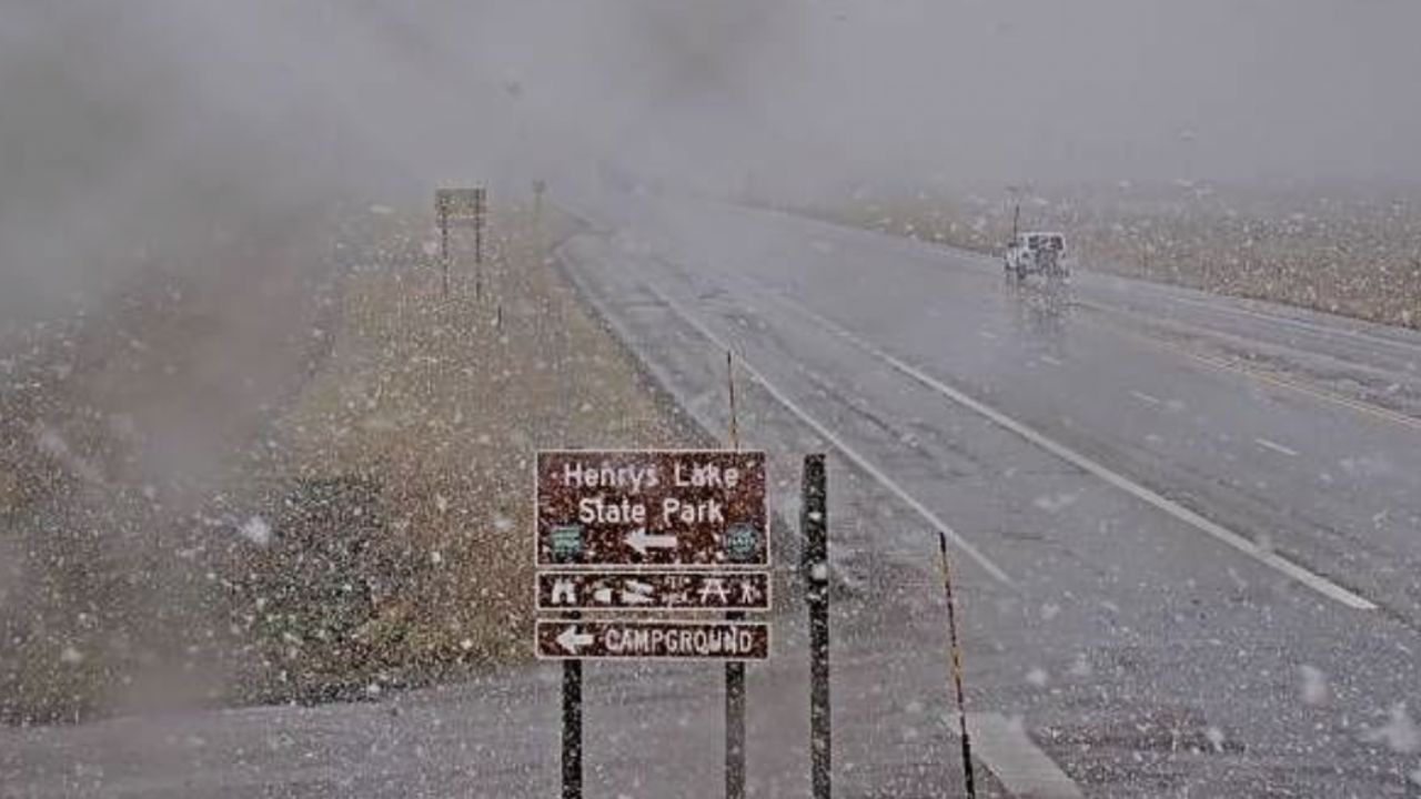
Dangerous storms are already hitting eastern Missouri and southern Illinois this morning — and conditions could get worse before they improve.
The National Weather Service in St. Louis has issued a Severe Thunderstorm Watch until 10 a.m. CDT across a wide stretch of the region. Cities under the watch include St. Louis, Jefferson City, Farmington, Alton, and Carbondale.
What You Could See:
- Wind gusts up to 75 mph
- Hail up to 2 inches in diameter
- Possible tornadoes in some areas
Commuters — Be Careful Major highways including I-70, I-44, I-55, and I-64 are already seeing reduced visibility and hazardous driving conditions during peak morning hours. Areas from Columbia to Cape Girardeau and Poplar Bluff are also inside the watch zone.
Residents are urged to stay indoors, avoid unnecessary travel, and secure loose outdoor items immediately.
Storms are expected to move east or weaken by late morning — but additional alerts may still be issued.
For full safety tips, affected zip codes, and live updates — visit thecmeaglet.com