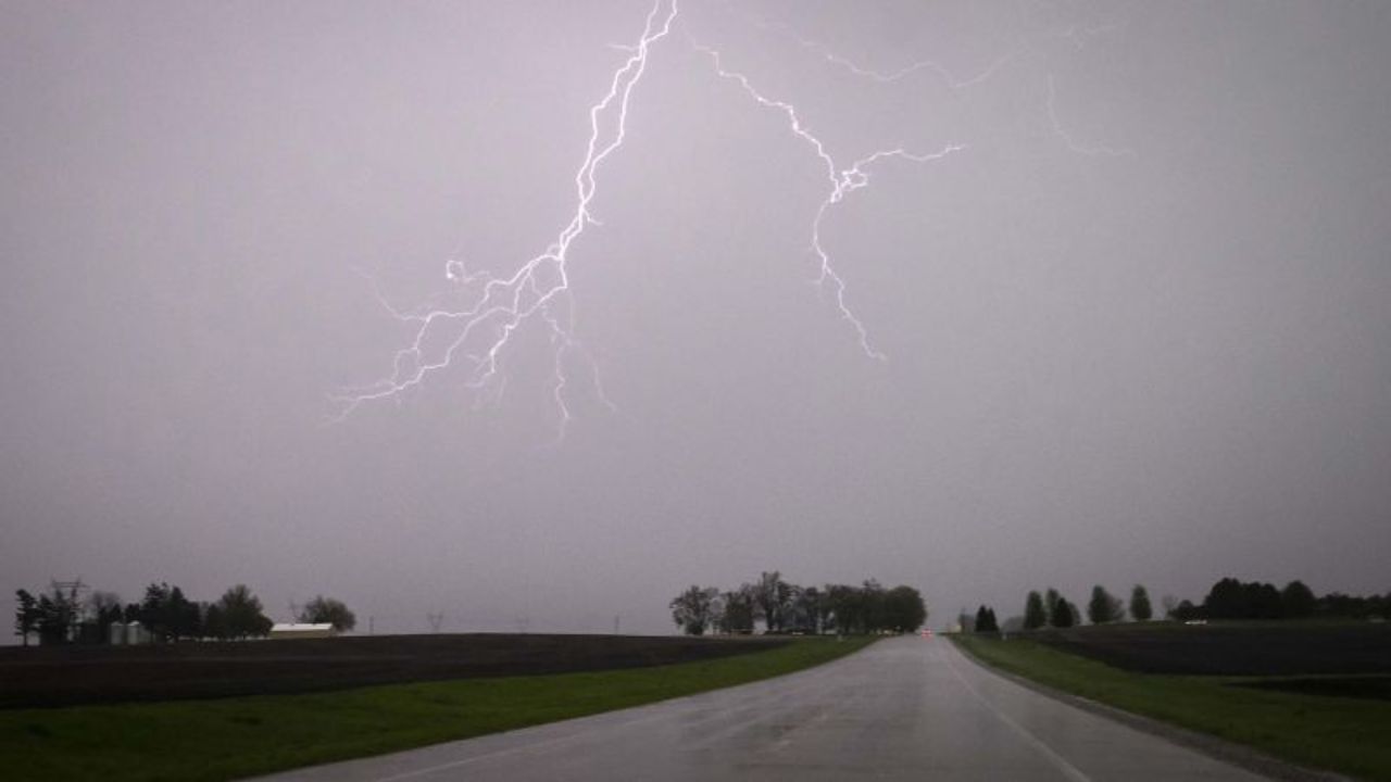
Residents across the Ark-La-Tex region are being urged to prepare immediately as severe thunderstorms are expected to develop Tuesday afternoon and continue through Wednesday evening, bringing the risk of tornadoes, large hail, and damaging winds.
The National Weather Service in Shreveport has identified northern Louisiana and East Texas as the greatest threat area — particularly north of a line stretching from Tyler to Natchitoches to Jena.
What to Expect:
Forecasters are warning of hail up to 2 inches in diameter, wind gusts exceeding 60 mph, and possible tornado development. Major cities including Shreveport, Bossier City, Texarkana, and Monroe are all in the impact zone. Key travel corridors including I-20, I-49, and U.S. 59 could see significant disruption.
Heavy rainfall may also trigger localized flooding, especially in low-lying and urban areas.
A Second Round Is Coming:
Wednesday afternoon brings another wave of severe weather, shifting slightly south across East Texas and much of Louisiana. While damaging winds and large hail remain the primary concerns, tornado development cannot be ruled out during this second round either.
What You Should Do Right Now:
Authorities are urging residents to secure outdoor furniture and loose items, keep all devices fully charged, and ensure they have multiple ways to receive emergency weather alerts — especially overnight when visibility is low and warnings can be missed.
Avoid all unnecessary travel during peak storm periods. If a tornado warning is issued for your area, seek shelter immediately in an interior room on the lowest floor of a sturdy building.
Additional watches and warnings are expected to be issued as conditions continue to evolve through Wednesday evening.
For the latest updates, safety tips, and a full breakdown of which neighborhoods face the highest risk — visit thecmeaglet.com